Browse / Cabo Verde / São Vicente / Che Guevara
Che Guevara
São Vicentesuburb
Demographic figures from INE Cabo Verde. Overview below cites Wikipedia and may reference a different year.
City facts
Overview
Within São Vicente, Cabo Verde, Che Guevara stands as a locality. Detailed population figures are not currently catalogued in the open data sources we track. Che Guevara maps to 16.894°, -24.990° — squarely within the tropical belt. Climatically, locations at this latitude tend to experience warm temperatures throughout the year with pronounced wet and dry seasons. Solar-resource estimates put the area at about 2,116 kWh/m² of solar irradiance per year with sunshine for roughly 83% of daylight hours. Open-data panels below dive into population trends, climate normals, environmental indicators and nearby places.
Summary composed automatically from structured open data on this page. See our Terms for details.
History & geography
Geography
Coordinates & boundaries from the US Census TIGER/Line shapefiles.
Climate
Air quality
Walkability
Amenities nearby
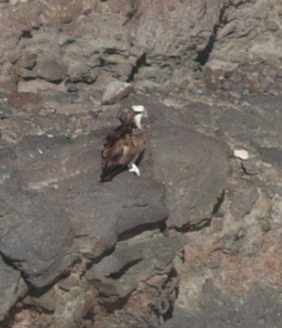
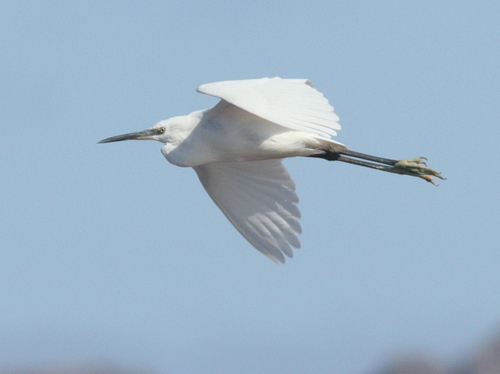
Wildlife & biodiversity
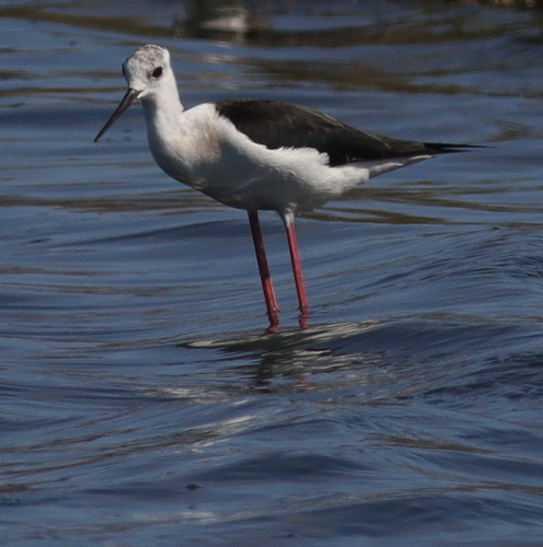
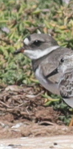
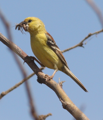
Most-observed species
- Cape Verde SparrowPasser iagoensis (Gould, 1838) · Aves248
- Little Egret/Western Reef-HeronEgretta garzetta (Linnaeus, 1766) · Aves173
- OspreyPandion haliaetus (Linnaeus, 1758) · Aves158
- WhimbrelNumenius phaeopus (Linnaeus, 1758) · Aves141
- Brown-necked RavenCorvus ruficollis Lesson, 1831 · Aves134
- Eurasian Collared-DoveStreptopelia decaocto (Frivaldszky, 1838) · Aves134
- Rock PigeonColumba livia J.F.Gmelin, 1789 · Aves126
- Cattle EgretBubulcus ibis (Linnaeus, 1758) · Aves117
Citizen-science & research observations from the Global Biodiversity Information Facility (GBIF).
Earthquake history
Most recent
- M 5.3 — 2023-01-26Cape Verde
Events from the USGS Earthquake Catalog (global) (FDSN Event Web Service).
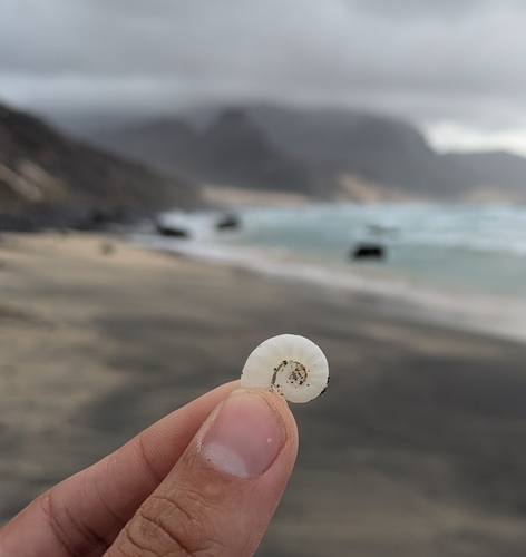
Photos
Sights & places nearby
Notable people from here


People born within ~10 km, from Wikidata (CC0). Click any name for their Wikipedia article.
Nearby places in São Vicente
- Fortim d'El-Rei0.3 mi away
- Madeiralzinho0.3 mi away
- Fonte de Meio0.4 mi away
- Porto Grande-São Vicente0.4 mi away
- Chã de Alecrim/Alto Doca0.4 mi away
- Alto Mira0.5 mi away
- Alto Santo António0.5 mi away
- Mindelo0.5 mi away · pop. 70,000
- Entre Chã de Alecrim e Madeiralzinho0.5 mi away
- Alto Cruz0.5 mi away
- Fonte Cônego0.6 mi away
- Cruz João d'Évora0.6 mi away
Geography & sun
Elevation, sunrise/sunset and daylight from Open-Meteo. Solar climatology from NASA POWER.
Nearby airports
Public attention
Books about this place
Recent natural events nearby
Ground air-quality sensors
Recently spotted species
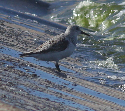
Research-grade observations from iNaturalist (within ~15 mi).
Events
Gallery
Geotagged photos within ~6 miles of Che Guevara, from Wikimedia Commons contributors.
.jpg) 0.2 mi
0.2 mi 0.3 mi
 0.3 mi
 0.3 mi
 0.3 mi
 0.4 mi
 0.4 mi
 0.5 mi
 0.5 mi
 0.5 mi
.jpg) 0.5 mi
0.5 mi 0.5 mi
 0.5 mi
 0.5 mi
 0.5 mi
 0.5 mi
 0.5 mi
 0.5 mi
 0.5 mi
 0.5 mi
 0.5 mi
 0.5 mi
 0.6 mi
 0.6 mi
Photos via Wikimedia Commons — see each image page for license & attribution.
Sources
- • Wikimedia Commons
- • Wikidata
- • USGS Earthquake Catalog (global feed)
- • GBIF (Global Biodiversity Information Facility)
- • iNaturalist
- • Open-Meteo / sunrise-sunset.org