Browse / Cabo Verde / São Vicente / Covada de Bruxa
Covada de Bruxa
São Vicentesuburb
Demographic figures from INE Cabo Verde. Overview below cites Wikipedia and may reference a different year.
City facts
Overview
Within São Vicente, Cabo Verde, Covada de Bruxa stands as a locality. On the world map it falls within the Western Hemisphere, specifically at 16.879°, -24.977°. Up-to-date population figures for this locality are not available in the open datasets we monitor. The location receives about 2,116 kWh/m² of solar irradiance per year and sunshine for roughly 83% of daylight hours. Based on its tropical position, residents likely encounter warm temperatures throughout the year with pronounced wet and dry seasons. The remainder of this page draws on open public data to describe the area's demographics, climate, environment and nearby amenities.
Summary composed automatically from structured open data on this page. See our Terms for details.
History & geography
Geography
Coordinates & boundaries from the US Census TIGER/Line shapefiles.
Climate
Air quality
Walkability
Amenities nearby
Wildlife & biodiversity
Earthquake history
Photos
Sights & places nearby
Notable people from here


People born within ~10 km, from Wikidata (CC0). Click any name for their Wikipedia article.
Nearby places in São Vicente
Geography & sun
Elevation, sunrise/sunset and daylight from Open-Meteo. Solar climatology from NASA POWER.
Nearby airports
Public attention
Books about this place
Recent natural events nearby
Ground air-quality sensors
Recently spotted species
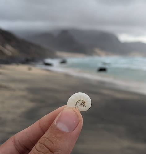
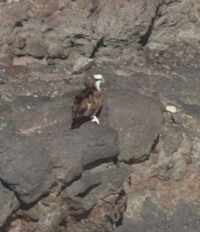
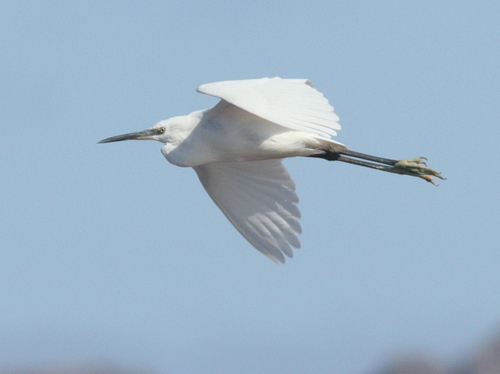
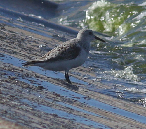
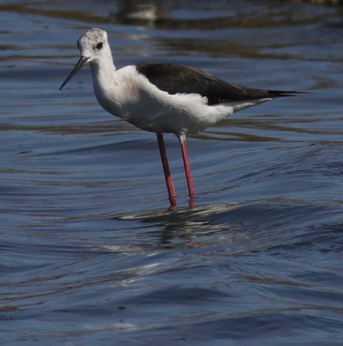
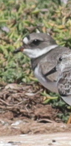
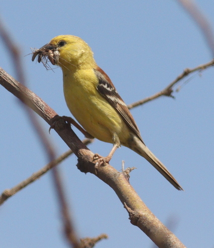
Research-grade observations from iNaturalist (within ~15 mi).
Events
Gallery
Sources
- • Wikidata
- • iNaturalist
- • Open-Meteo / sunrise-sunset.org