Browse / Cabo Verde / São Vicente / Dji d'Sal
Dji d'Sal
São Vicentesuburb
Demographic figures from INE Cabo Verde. Overview below cites Wikipedia and may reference a different year.
City facts
Overview
Dji d'Sal is a locality that lies in São Vicente, Cabo Verde. Dji d'Sal maps to 16.879°, -24.992° — squarely within the tropical belt. Up-to-date population figures for this locality are not available in the open datasets we monitor. The location receives about 2,116 kWh/m² of solar irradiance per year and sunshine for roughly 83% of daylight hours. Its latitude implies a climate characterised by warm temperatures throughout the year with pronounced wet and dry seasons. Detailed open-data panels follow, covering demographics, climate, geography, wildlife and nearby settlements.
Summary composed automatically from structured open data on this page. See our Terms for details.
History & geography
Geography
Coordinates & boundaries from the US Census TIGER/Line shapefiles.
Climate
Air quality
Walkability
Amenities nearby
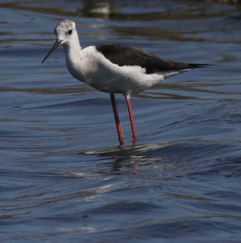
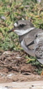
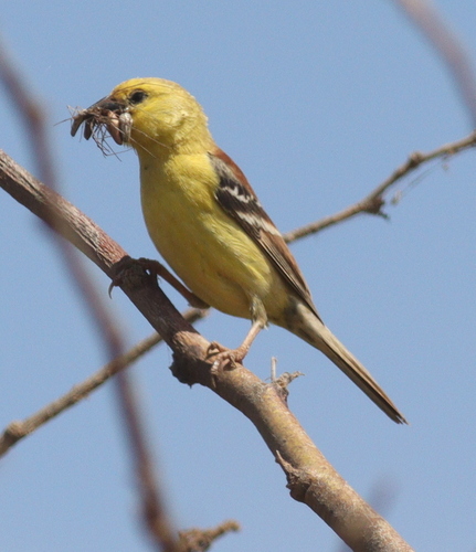
Wildlife & biodiversity
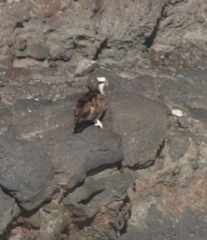
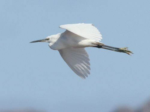
Most-observed species
- Cape Verde SparrowPasser iagoensis (Gould, 1838) · Aves244
- Little Egret/Western Reef-HeronEgretta garzetta (Linnaeus, 1766) · Aves175
- OspreyPandion haliaetus (Linnaeus, 1758) · Aves160
- WhimbrelNumenius phaeopus (Linnaeus, 1758) · Aves141
- Brown-necked RavenCorvus ruficollis Lesson, 1831 · Aves134
- Eurasian Collared-DoveStreptopelia decaocto (Frivaldszky, 1838) · Aves134
- Rock PigeonColumba livia J.F.Gmelin, 1789 · Aves126
- Cattle EgretBubulcus ibis (Linnaeus, 1758) · Aves115
Citizen-science & research observations from the Global Biodiversity Information Facility (GBIF).
Earthquake history
Most recent
- M 5.3 — 2023-01-26Cape Verde
Events from the USGS Earthquake Catalog (global) (FDSN Event Web Service).
Photos
Sights & places nearby
Notable people from here


People born within ~10 km, from Wikidata (CC0). Click any name for their Wikipedia article.
Nearby places in São Vicente
Geography & sun
Elevation, sunrise/sunset and daylight from Open-Meteo. Solar climatology from NASA POWER.
Nearby airports
Public attention
Books about this place
Recent natural events nearby
Ground air-quality sensors
Recently spotted species
Research-grade observations from iNaturalist (within ~15 mi).
Events
Gallery
Sources
- • Wikidata
- • USGS Earthquake Catalog (global feed)
- • GBIF (Global Biodiversity Information Facility)
- • iNaturalist
- • Open-Meteo / sunrise-sunset.org