Browse / Cabo Verde / Santa Catarina do Fogo / Estância Roque
Estância Roque
Santa Catarina do Fogovillage
Demographic figures from INE Cabo Verde. Overview below cites Wikipedia and may reference a different year.
City facts
Overview
Estância Roque is a settlement in the eastern part of the island of Fogo, Cape Verde. In 2010 its population was 411. It is situated 3 km west of Cova Figueira and 19 km east of the island capital São Filipe. Nearby places include Figueira Pavão in the south and Cabeça Fundão in the northwest.
Read more on WikipediaHistory & geography
Geography
Coordinates & boundaries from the US Census TIGER/Line shapefiles.
Climate
10-year averages from ERA5 reanalysis (Open-Meteo).
Air quality
Walkability
Amenities nearby
Wildlife & biodiversity
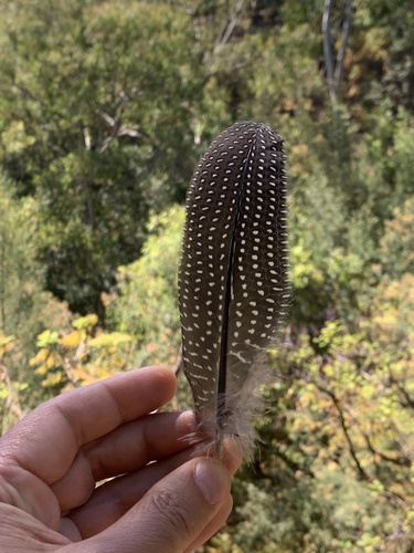
Most-observed species
- Spanish SparrowPasser hispaniolensis (Temminck, 1820) · Aves57
- Rock PigeonColumba livia J.F.Gmelin, 1789 · Aves46
- Alexander's SwiftApus alexandri Hartert, 1901 · Aves41
- Eurasian KestrelFalco tinnunculus Linnaeus, 1758 · Aves41
- Gray-headed KingfisherHalcyon leucocephala (P.L.S.Müller, 1776) · Aves36
- Spectacled WarblerSylvia conspicillata Temminck, 1820 · Aves35
- Eurasian Collared-DoveStreptopelia decaocto (Frivaldszky, 1838) · Aves29
- Brown-necked RavenCorvus ruficollis Lesson, 1831 · Aves28
Citizen-science & research observations from the Global Biodiversity Information Facility (GBIF).
Earthquake history
Most recent
- M 4.3 — 2014-02-2614 km N of São Filipe, Cabo Verde
- M 4.6 — 2004-08-1740 km SW of Nova Sintra, Cabo Verde
Events from the USGS Earthquake Catalog (global) (FDSN Event Web Service).
Photos
Sights & places nearby
Notable people from here


People born within ~10 km, from Wikidata (CC0). Click any name for their Wikipedia article.
Nearby places in Santa Catarina do Fogo
Geography & sun
Elevation, sunrise/sunset and daylight from Open-Meteo. Solar climatology from NASA POWER.
Nearby airports
Public attention
Pageview totals from the Wikimedia Pageviews API.
Books about this place
Recent natural events nearby
Ground air-quality sensors
Recently spotted species
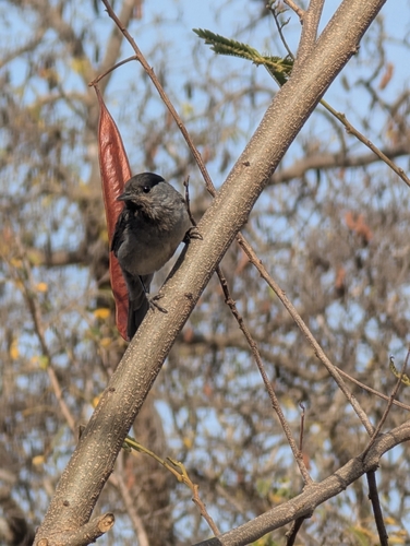
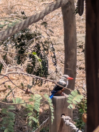
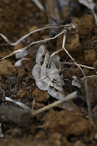
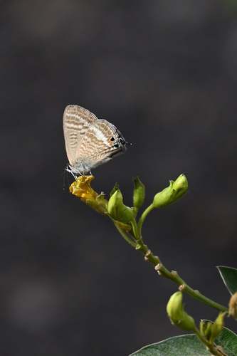
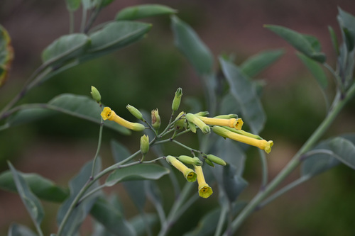
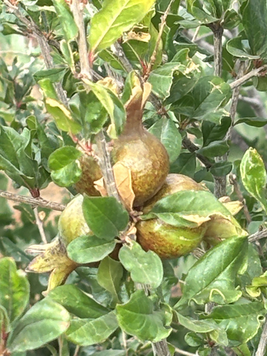
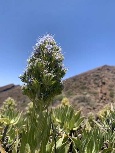
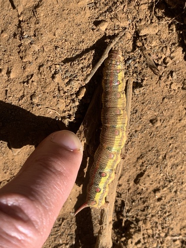
Research-grade observations from iNaturalist (within ~15 mi).
Events
Gallery
Sources
- • Wikipedia
- • Open-Meteo (ERA5 reanalysis)
- • Wikidata
- • USGS Earthquake Catalog (global feed)
- • GBIF (Global Biodiversity Information Facility)
- • iNaturalist
- • Open-Meteo / sunrise-sunset.org
- • Wikipedia Pageviews API