Browse / Czechia / Hradec Králové / Bačalky
Bačalky
Hradec Královévillage

Featured view
Bačalky
Total population
133
Elevation374 m
Land area5.7 km²
Coordinates50.38°, 15.15°
Demographic figures from Czech Statistical Office. Overview below cites Wikipedia and may reference a different year.
Loading additional data from public sources…0 / 11
CensusWikipediaWeatherPlacesPeopleEnvironmentHealth & SchoolsRelatedGeography & CultureLive MonitoringEvents & Gallery
0% completeCity facts
Facts from Wikidata (CC0).
Overview
Bačalky is a municipality and village in Jičín District in the Hradec Králové Region of the Czech Republic. It has about 200 inhabitants.
Read more on WikipediaHistory & geography
Geography
Latitude
50.3849
Longitude
15.1534
Water area
—
Coordinates & boundaries from the US Census TIGER/Line shapefiles.
Climate
Air quality
Walkability
Amenities nearby
Wildlife & biodiversity
Earthquake history
Photos
Sights & places nearby
Notable people from here
Nearby places in Hradec Králové
- Jivany10.9 mi away · pop. 88
- Piancaldoli460.5 mi away · pop. 143
- Istia-Sigliola-Greta468.8 mi away · pop. 93
- Traversa469.9 mi away · pop. 160
- Pavana474.4 mi away · pop. 414
- Luco Mugello474.9 mi away · pop. 1,114
- Sasseta475.2 mi away · pop. 275
- Galliano475.8 mi away · pop. 1,122
- Cavarzano476.2 mi away · pop. 226
- Vernio476.5 mi away · pop. 6,060
- Gravagna San Rocco476.7 mi away
- Gravagna Montale476.7 mi away
Geography & sun
Avg solar (kWh/m²/day)
2.97
Annual solar (kWh/m²)
1,084
Elevation, sunrise/sunset and daylight from Open-Meteo. Solar climatology from NASA POWER.
Nearby airports
Public attention
Wikipedia views (last 30 days)
17
Avg daily Wikipedia views
1
Attention level
Obscure
Pageview totals from the Wikimedia Pageviews API.
Books about this place
Recent natural events nearby
Ground air-quality sensors
Recently spotted species
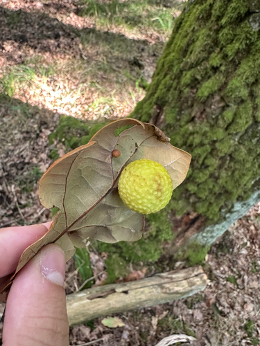
Cherry Gall Wasp
Cynips quercusfolii
Seen 2026-09-23
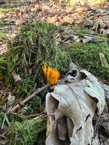
Jelly-antler
Calocera viscosa
Seen 2026-09-23
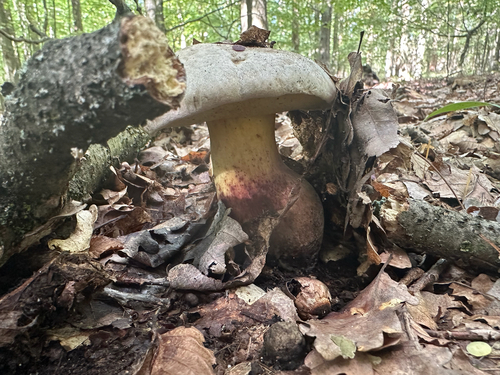
Rooting Bolete
Caloboletus radicans
Seen 2026-09-23
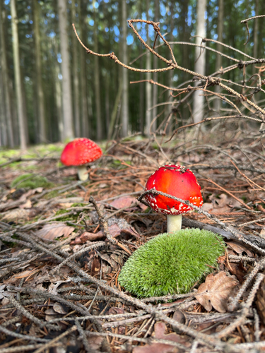
Fly Agaric
Amanita muscaria
Seen 2026-09-23
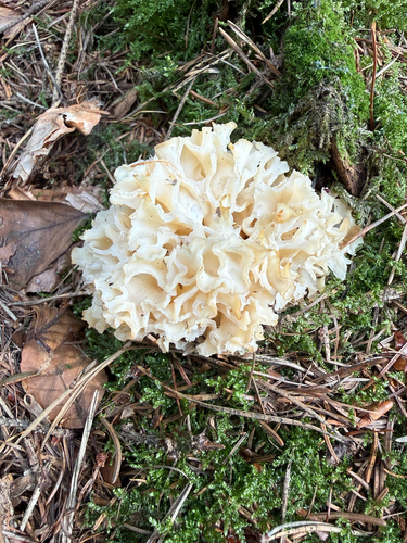
Cauliflower Fungus
Sparassis crispa
Seen 2026-09-20
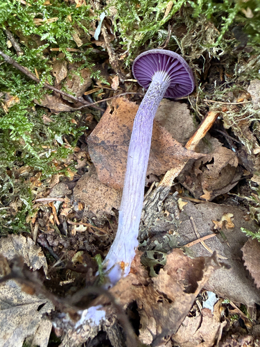
Amethyst Deceiver
Laccaria amethystina
Seen 2026-09-20
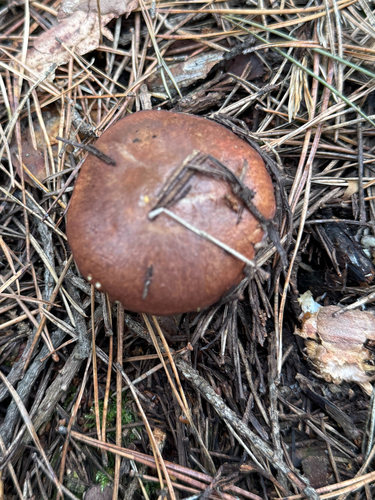
Purple-veiled Slippery Jack
Suillus luteus
Seen 2026-09-20
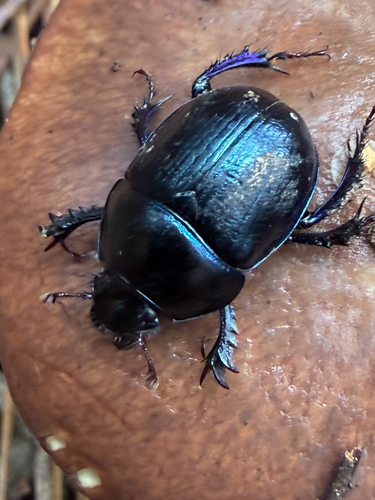
Woodland Dor Beetle
Anoplotrupes stercorosus
Seen 2026-09-20
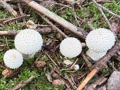
common puffball
Lycoperdon perlatum
Seen 2026-09-20
Research-grade observations from iNaturalist (within ~15 mi).
Events
Gallery
Official Identifiers
ČSÚ — Czech Statistical Office
- RÚIAN code
- CZ553701
- Population (Wikidata)
- 166
- Wikidata
- Q582531
RÚIAN obec ID via Wikidata P782
Sources
- • Wikipedia
- • Wikidata
- • iNaturalist
- • Open-Meteo / sunrise-sunset.org
- • Wikipedia Pageviews API
- • ČSÚ — Czech Statistical Office — RÚIAN obec ID via Wikidata P782