Browse / Czechia / South Bohemian / Bechyně
Bechyně
South Bohemiantown

Bechyně
Total population
5,125
Demographic figures from Czech Statistical Office. Overview below cites Wikipedia and may reference a different year.
City facts
Overview
Bechyně is a town in Tábor District in the South Bohemian Region of the Czech Republic. It has about 4,800 inhabitants. The town is known for its mud spa and its tradition of pottery production, which continues today in the form of sanitary ware production. The historic town centre is well preserved and is protected as an urban monument zone.
History & geography
Geography
Coordinates & boundaries from the US Census TIGER/Line shapefiles.
Climate
Air quality
Walkability
Amenities nearby
Wildlife & biodiversity
Earthquake history
Photos
Sights & places nearby
Notable people from here
Nearby places in South Bohemian
- Radětice2.1 mi away · pop. 251
- Netěchovice3.2 mi away · pop. 106
- Koloměřice3.3 mi away · pop. 114
- Jamník3.3 mi away
- Dražíč3.9 mi away · pop. 158
- Smilovice4.5 mi away · pop. 100
- Čenkov u Bechyně4.5 mi away · pop. 55
- Doubravka4.8 mi away · pop. 115
- Nemějice5.5 mi away · pop. 81
- Slavňovice6.4 mi away · pop. 79
- Písecká Smoleč6.5 mi away · pop. 102
- Bojenice6.7 mi away · pop. 70
Geography & sun
Elevation, sunrise/sunset and daylight from Open-Meteo. Solar climatology from NASA POWER.
Nearby airports
Public attention
Pageview totals from the Wikimedia Pageviews API.
Books about this place
Recent natural events nearby
Ground air-quality sensors
Recently spotted species
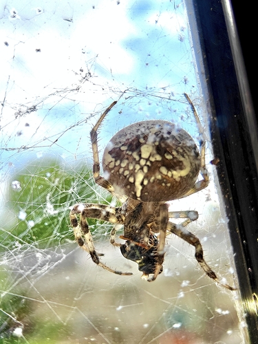
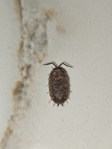
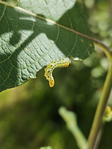
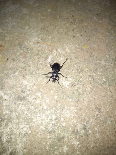
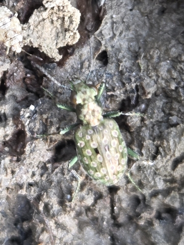
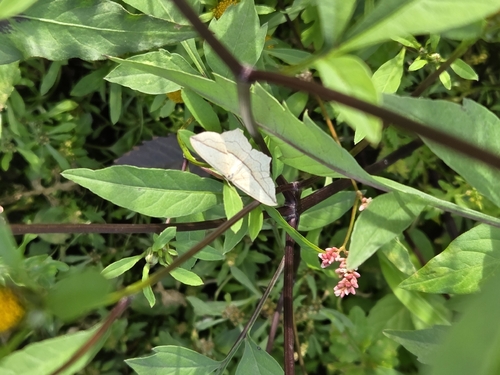
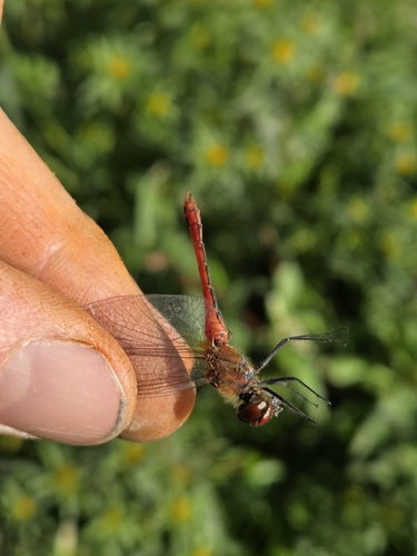
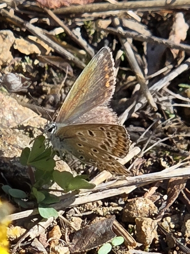
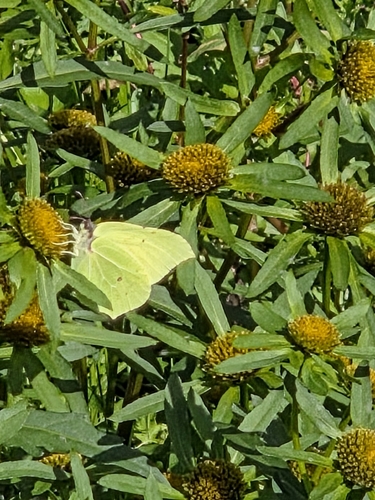
Research-grade observations from iNaturalist (within ~15 mi).
Events
Gallery
Official Identifiers
ČSÚ — Czech Statistical Office
- RÚIAN code
- CZ552054
- Population (Wikidata)
- 4,815
- Wikidata
- Q20492
RÚIAN obec ID via Wikidata P782
Sources
- • Wikipedia
- • iNaturalist
- • Open-Meteo / sunrise-sunset.org
- • Wikipedia Pageviews API
- • Wikidata SPARQL (CC0) — population, area, elevation, inception, head of government, Commons image
- • ČSÚ — Czech Statistical Office — RÚIAN obec ID via Wikidata P782