Browse / Czechia / Olomouc / Bělotín
Bělotín
Olomoucvillage

Bělotín
Total population
1,119
Demographic figures from Czech Statistical Office. Overview below cites Wikipedia and may reference a different year.
City facts
Sister cities
Facts from Wikidata (CC0).
Overview
Bělotín is a municipality and village in Přerov District in the Olomouc Region of the Czech Republic. It has about 1,900 inhabitants.
Read more on WikipediaHistory & geography
History
The first written mention of Bělotín is from 1201. The village was founded in the second half of the 12th century. Until the German colonisation in the 14th century, the population was purely Slavic. Until the turn of the 14th and 15th centuries, Bělotín was owned by the Hradisko Monastery as a part of the Hranice estate. In 1475, the estate was acquired by the Pernštejn family, then it was sold to the Haugwitz of Biskupice family (a branch of the Haugwitz family) in 1548. After it changed its owners several times, the estate was confiscated after the Battle of White Mountain and donated to Franz von Dietrichstein. His house held Bělotín and the whole Hranice estate until 1858. In January 1945, as the Soviet armies resumed their offensive and advanced from the east, the prisoners of the whole Stalag VIII-B/344 POW camp were marched westward in the Long March.
Geography
Bělotín is located about northeast of Přerov and east of Olomouc. It lies mostly in the Moravian Gate valley. The northern part of the municipal territory lies in the Nízký Jeseník range and includes the highest point of Bělotín at above sea level. In the south, the municipality also extends into the Moravian-Silesian Foothills. The Luha River flows across the municipality. The village of Bělotín is mostly located around the stream Bělotínský potok, which flows to the Luha. There are two notable fishponds in the municipality: Horní Bělotín and Dolní Bělotín. Bělotín's climate is classified as humid continental climate (Köppen: Dfb; Trewartha: Dcbo). Among them, the annual average temperature is , the hottest month in July is , and the coldest month is in January. The annual precipitation is , of which July is the wettest with , while February is the driest with only . The extreme temperature throughout the year ranged from on 8 January 1985 to on 8 August 2013.
Excerpted from the corresponding Wikipedia article (CC BY-SA).
Geography
Coordinates & boundaries from the US Census TIGER/Line shapefiles.
Climate
Air quality
Walkability
Amenities nearby
Wildlife & biodiversity
Earthquake history
Photos
Sights & places nearby
Notable people from here


People born within ~10 km, from Wikidata (CC0). Click any name for their Wikipedia article.
Nearby places in Olomouc
- Kunčice1.8 mi away · pop. 242
- Polom1.8 mi away · pop. 289
- Hranické Loučky3.3 mi away · pop. 73
- Hluzov3.7 mi away · pop. 235
- Vysoká4.2 mi away · pop. 233
- Hranice4.4 mi away · pop. 17,125
- Jindřichov4.5 mi away · pop. 469
- Skalička5 mi away · pop. 535
- Hrabůvka5.3 mi away · pop. 327
- Ústí5.4 mi away · pop. 560
- Poruba5.7 mi away · pop. 197
- Radíkov6 mi away · pop. 142
Geography & sun
Elevation, sunrise/sunset and daylight from Open-Meteo. Solar climatology from NASA POWER.
Nearby airports
Public attention
Pageview totals from the Wikimedia Pageviews API.
Books about this place
Recent natural events nearby
Ground air-quality sensors
Recently spotted species
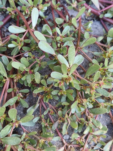
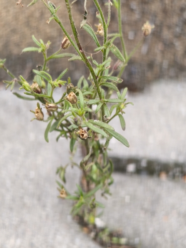
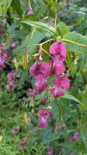
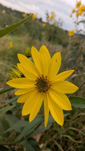
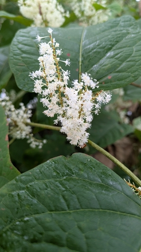
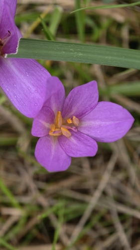
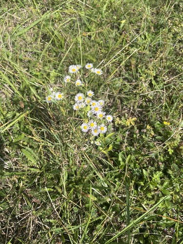
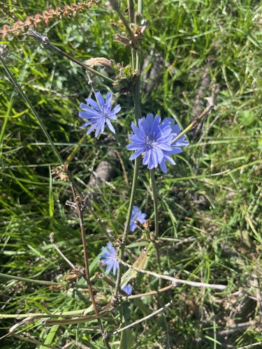
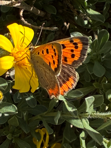
Research-grade observations from iNaturalist (within ~15 mi).
Events
Gallery
Official Identifiers
ČSÚ — Czech Statistical Office
- RÚIAN code
- CZ512231
- Population (Wikidata)
- 1,854
- Wikidata
- Q1022044
RÚIAN obec ID via Wikidata P782
Sources
- • Wikipedia
- • Wikidata
- • iNaturalist
- • Open-Meteo / sunrise-sunset.org
- • Wikipedia Pageviews API
- • ČSÚ — Czech Statistical Office — RÚIAN obec ID via Wikidata P782