Browse / Czechia / Moravian-Silesian / Bílovec
Bílovec
Moravian-Silesiantown

Bílovec
Total population
5,857
Demographic figures from Czech Statistical Office. Overview below cites Wikipedia and may reference a different year.
City facts
Sister cities
Facts from Wikidata (CC0).
Overview
Bílovec is a town in Nový Jičín District in the Moravian-Silesian Region of the Czech Republic. It has about 7,300 inhabitants. The town proper is located on the Bílovka River in the Nízký Jeseník range. The historic town centre is well preserved and is protected as an urban monument zone.
Read more on WikipediaHistory & geography
History
The first written mention of Bílovec is from 1324. The town was probably founded by Vok V of Kravaře between 1293–1324. It was located on the crossroads of two trade routes and belonged to the Duchy of Troppau. Bílovec was heavily fortified with walls with two gates and a fortress. In 1575–1576, the then-owner Bernard Pražma of Bílkov had rebuilt the fortress into a four-wing Renaissance castle. From 1652 until the 20th century, the estate was held by the Sedlnický of Choltice family. The town gained various privileges which allowed it to develop further. After a large fire in 1729, the castle was reconstructed in the Baroque style. In the second half of the 19th century, Bílovec was industrialised. A cloth factory (later a hat factory and then an iron factory), a steam saw, a book printer and a liqueur factory were established. In 1890, the railway connection was opened. Until 1918, Bílovec was part of Austria-Hungary. From 1938, it was annexed by Nazi Germany and administered as part of the Reichsgau Sudetenland, the portion of Czechoslovakia turned over to Germany in the wake of the Munich Agreement. After the conclusion of World War II, the German speaking population was expelled from the region in 1945 according to the Beneš decrees and replaced by Czech settlers. After World War II, prefabricated houses were constructed, which disrupted the ancient character of the town.
Geography
Bílovec is located about west of Ostrava. It lies mostly in the Nízký Jeseník range, only a small part of the territory extends into the Moravian Gate lowland. The town is situated on both banks of the Bílovka River. Bílovec Reservoir is located on the outskirts of the town.
Excerpted from the corresponding Wikipedia article (CC BY-SA).
Geography
Coordinates & boundaries from the US Census TIGER/Line shapefiles.
Climate
Air quality
Walkability
Amenities nearby
Wildlife & biodiversity
Most-observed species
- DaisyBellis perennis L. · Magnoliopsida5,479
- Ground-ivyGlechoma hederacea L. · Magnoliopsida3,897
- Common NettleUrtica dioica L. · Magnoliopsida3,199
- DandelionTaraxacum officinale Weber ex F.H.Wigg. · Magnoliopsida3,102
- MallardAnas platyrhynchos Linnaeus, 1758 · Aves1,605
- Garlic MustardAlliaria petiolata (M.Bieb.) Cavara & Grande · Magnoliopsida1,460
- Lesser CelandineFicaria verna Huds. · Magnoliopsida1,315
- Great TitParus major Linnaeus, 1758 · Aves1,311
Citizen-science & research observations from the Global Biodiversity Information Facility (GBIF).
Earthquake history
Most recent
- M 2.6 — 2026-04-091 km WNW of Radlin, Poland
- M 2.9 — 2025-04-294 km WSW of Bytom, Poland
- M 3.2 — 2025-01-271 km NE of Radlin, Poland
- M 2.9 — 2024-07-114 km N of Jejkowice, Poland
- M 3 — 2023-10-042 km W of Murcki, Poland
- M 2.8 — 2023-01-122 km ENE of Karviná, Czechia
Events from the USGS Earthquake Catalog (global) (FDSN Event Web Service).
Photos
Sights & places nearby
Notable people from here


People born within ~10 km, from Wikidata (CC0). Click any name for their Wikipedia article.
Nearby places in Moravian-Silesian
- Velké Albrechtice1.3 mi away · pop. 941
- Bílov1.7 mi away · pop. 539
- Stará Ves1.8 mi away · pop. 564
- Lubojaty2.3 mi away · pop. 378
- Bravinné2.4 mi away · pop. 337
- Nový Svět2.5 mi away · pop. 117
- Lhotka2.7 mi away · pop. 68
- Pohořílky2.9 mi away · pop. 66
- Slatina2.9 mi away · pop. 562
- Jílovec3.3 mi away · pop. 64
- Ohrada3.3 mi away · pop. 61
- Bítov3.3 mi away · pop. 391
Geography & sun
Elevation, sunrise/sunset and daylight from Open-Meteo. Solar climatology from NASA POWER.
Nearby airports
Public attention
Pageview totals from the Wikimedia Pageviews API.
Books about this place
Recent natural events nearby
Ground air-quality sensors
Recently spotted species
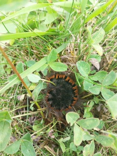
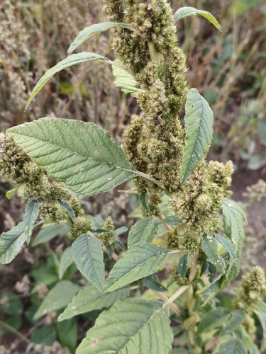
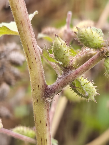
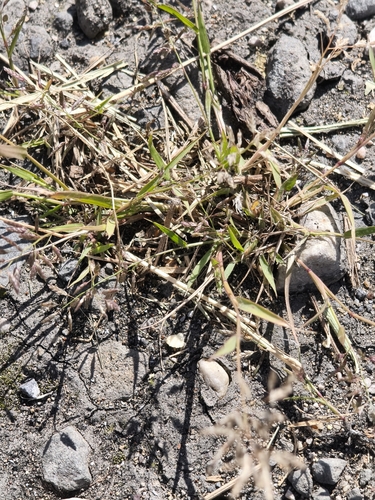
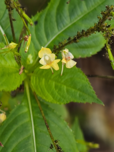
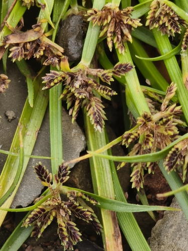
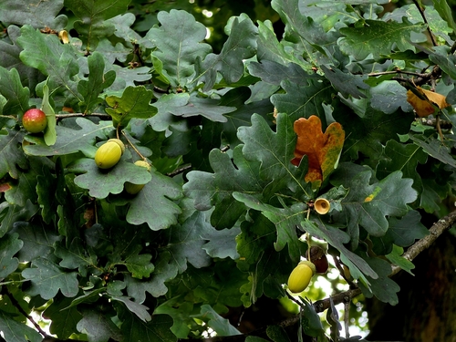
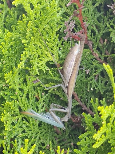
Research-grade observations from iNaturalist (within ~15 mi).
Events
Gallery
Official Identifiers
ČSÚ — Czech Statistical Office
- RÚIAN code
- CZ599247
- Population (Wikidata)
- 7,411
- Wikidata
- Q1015409
RÚIAN obec ID via Wikidata P782
Sources
- • Wikipedia
- • Wikidata
- • USGS Earthquake Catalog (global feed)
- • GBIF (Global Biodiversity Information Facility)
- • iNaturalist
- • Open-Meteo / sunrise-sunset.org
- • Wikipedia Pageviews API
- • Wikidata SPARQL (CC0) — population, area, elevation, inception, head of government, Commons image
- • ČSÚ — Czech Statistical Office — RÚIAN obec ID via Wikidata P782