Browse / Czechia / Central Bohemian / Blevice
Blevice
Central Bohemianvillage

Blevice
Total population
282
Demographic figures from Czech Statistical Office. Overview below cites Wikipedia and may reference a different year.
City facts
Facts from Wikidata (CC0).
Overview
Blevice is a municipality and village in Kladno District in the Central Bohemian Region of the Czech Republic. It has about 300 inhabitants.
Read more on WikipediaHistory & geography
History
The location has been inhabited a long time. As a group of 7 or 8 (today barely noticeable) prehistoric burial barrows in the wood southeast of the villages testifies. They were archaeologically explored in the 19th century. No definite opinion of the age of the barrows can be stated. Estimates vary from late Bronze Age (second half of the 2nd millennium BC) to Slavic period of early Middle Ages (second half of the 1st millennium AD). The first written mention of Blevice is from 1282. In the 14th century, it was owned by the Vyšehrad Chapter.
Geography
Blevice is located about northeast of Kladno and northwest of Prague. It is located in the Prague Plateau. The highest point is at above sea level. The village lies at the end of a small valley whose slopes are partially covered by forest.
Excerpted from the corresponding Wikipedia article (CC BY-SA).
Geography
Coordinates & boundaries from the US Census TIGER/Line shapefiles.
Climate
Air quality
Walkability
Amenities nearby
Wildlife & biodiversity
Earthquake history
Photos
Sights & places nearby
Notable people from here


People born within ~10 km, from Wikidata (CC0). Click any name for their Wikipedia article.
Nearby places in Central Bohemian
- Noutonice3.6 mi away · pop. 93
- Želevčice6.8 mi away · pop. 97
- Brnky8.5 mi away · pop. 93
- Přemyšlení8.9 mi away · pop. 300
- Tuřany9.3 mi away · pop. 437
- Budeničky9.6 mi away · pop. 58
- Veliká Ves10 mi away · pop. 247
- Srby10.6 mi away · pop. 355
- Drnek11.7 mi away · pop. 161
- Lukov12 mi away · pop. 77
- Honice13 mi away · pop. 246
- Rudeč15.5 mi away
Geography & sun
Elevation, sunrise/sunset and daylight from Open-Meteo. Solar climatology from NASA POWER.
Nearby airports
Public attention
Pageview totals from the Wikimedia Pageviews API.
Books about this place
Recent natural events nearby
Ground air-quality sensors
Recently spotted species
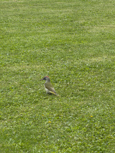
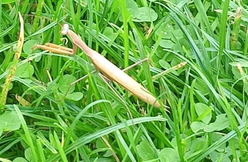
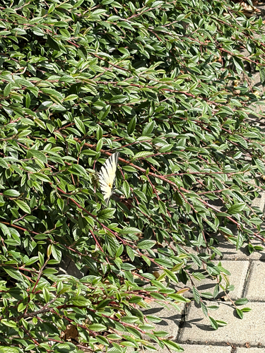
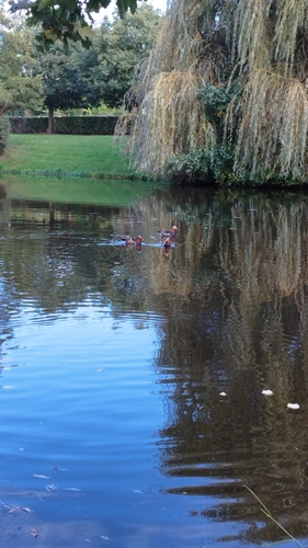
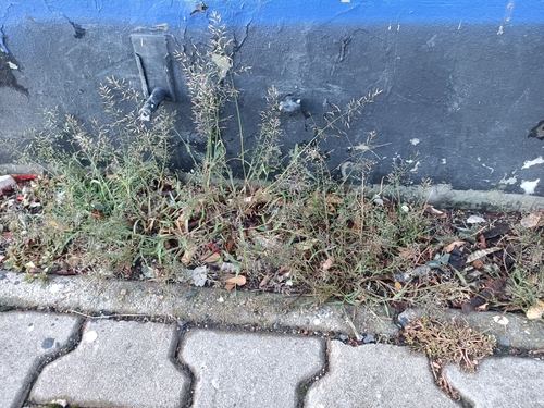
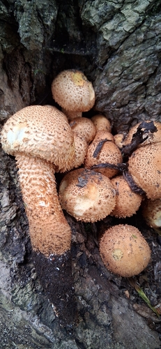
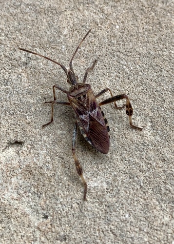
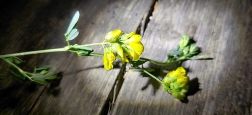
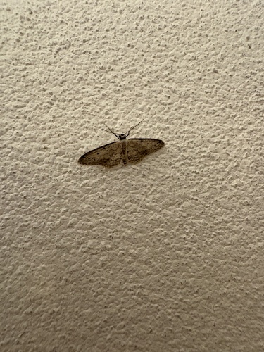
Research-grade observations from iNaturalist (within ~15 mi).
Events
Gallery
Official Identifiers
ČSÚ — Czech Statistical Office
- RÚIAN code
- CZ532100
- Population (Wikidata)
- 289
- Wikidata
- Q338054
RÚIAN obec ID via Wikidata P782
Sources
- • Wikipedia
- • Wikidata
- • iNaturalist
- • Open-Meteo / sunrise-sunset.org
- • Wikipedia Pageviews API
- • ČSÚ — Czech Statistical Office — RÚIAN obec ID via Wikidata P782