Browse / Czechia / Plzeň / Blovice
Blovice
Plzeňtown

Blovice
Total population
4,170
Demographic figures from Czech Statistical Office. Overview below cites Wikipedia and may reference a different year.
City facts
Sister cities
Facts from Wikidata (CC0).
Overview
Blovice is a town in Plzeň-South District in the Plzeň Region of the Czech Republic. It has about 4,300 inhabitants. The town is located on the Úslava River in the Švihov Highlands.
Read more on WikipediaHistory & geography
History
The first written mention of Blovice is from 1284, when it was a market village owned by the Pomuk monastery. At the end of the 14th century, Blovice was first referred to as a market town. During the 15th and 16th centuries, Blovice prospered and acquired various rights. Owners of Blovice often changed. The most notable owners were the Kolowrat-Krakowsky family, who purchased the estate in the late 17th century and held it until 1872. In the 18th century, Blovice was promoted to a town. In 1865–1868, the railway Plzeň–České Budějovice was built via the town and the character of the town began to change. From 1872 to 1918, the town was property of the Hungarian Pálffy ab Erdöd family.
Geography
Blovice is located about southeast of Plzeň. It lies in the Švihov Highlands. The highest point is a hill with an altitude of . The Úslava River flows through the town. There are several fishponds in the territory, the largest of which is Huťský rybník with an area of .
Excerpted from the corresponding Wikipedia article (CC BY-SA).
Geography
Coordinates & boundaries from the US Census TIGER/Line shapefiles.
Climate
Air quality
Walkability
Amenities nearby
Wildlife & biodiversity
Earthquake history
Photos
Sights & places nearby
Notable people from here
Nearby places in Plzeň
- Mešno6.3 mi away · pop. 87
- Nezdřev13.7 mi away · pop. 116
- Myslovice13.9 mi away · pop. 107
- Velký Bor16.7 mi away · pop. 324
- Kotovice18.4 mi away · pop. 150
- Lhota pod Radčem18.6 mi away · pop. 267
- Vejvanov20.5 mi away · pop. 216
- Svaté Pole20.9 mi away · pop. 67
- Drahoňův Újezd22 mi away · pop. 144
- Dolní Hradiště23 mi away · pop. 42
- Chmelná23 mi away · pop. 189
- Liblín23.1 mi away · pop. 301
Geography & sun
Elevation, sunrise/sunset and daylight from Open-Meteo. Solar climatology from NASA POWER.
Nearby airports
Public attention
Pageview totals from the Wikimedia Pageviews API.
Books about this place
Recent natural events nearby
Ground air-quality sensors
Recently spotted species
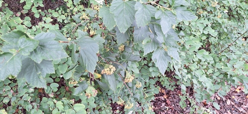
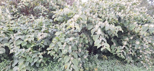
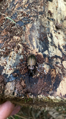
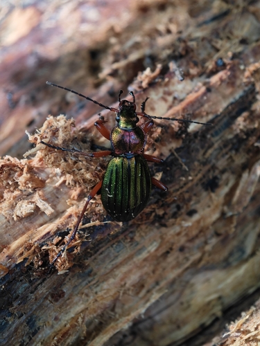
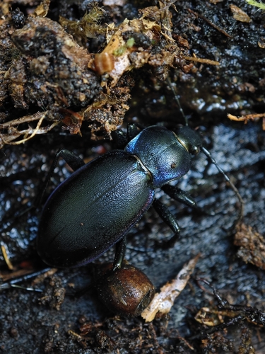
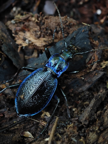
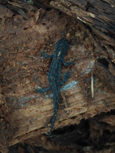
Research-grade observations from iNaturalist (within ~15 mi).
Events
Gallery
Official Identifiers
ČSÚ — Czech Statistical Office
- RÚIAN code
- CZ557587
- Population (Wikidata)
- 4,207
- Wikidata
- Q885482
RÚIAN obec ID via Wikidata P782
Sources
- • Wikipedia
- • Wikidata
- • iNaturalist
- • Open-Meteo / sunrise-sunset.org
- • Wikipedia Pageviews API
- • Wikidata SPARQL (CC0) — population, area, elevation, inception, head of government, Commons image
- • ČSÚ — Czech Statistical Office — RÚIAN obec ID via Wikidata P782