Browse / Czechia / Vysočina / Bobrová
Bobrová
Vysočinavillage

Bobrová
Total population
919
Demographic figures from Czech Statistical Office. Overview below cites Wikipedia and may reference a different year.
City facts
Facts from Wikidata (CC0).
Overview
Bobrová is a market town in Žďár nad Sázavou District in the Vysočina Region of the Czech Republic. It has about 900 inhabitants.
Read more on WikipediaHistory & geography
History
The first written mention of Bobrová is from 1252. From 1338, two settlements were distinguished, Dolní Bobrová and Horní Bobrová. Dolní Bobrová was a property of the Cistercian monastery in Žďár nad Sázavou and Horní Bobrová belonged to the Křižanov estate. Horní Bobrová was promoted to a market town before 1368; Dolní Bobrová was promoted to a market town in 1462. From 1464, Horní Bobrová was owned by the Pernštejn family, who sold it to the Cistercian monastery in 1486. The monastery owned both the market towns until its abolition in 1784. Then the estate was divided into several parts and sold to different owners. In 1950, Dolní Bobrová and Horní Bobrová were merged into one municipality named Bobrová.
Geography
Bobrová is located about southeast of Žďár nad Sázavou and northwest of Brno. It lies in the Křižanov Highlands. The highest point is the Kalvárie hill at above sea level. The Bobrůvka River flows through the market town. Kaňovec Pond is located in the municipal territory.
Excerpted from the corresponding Wikipedia article (CC BY-SA).
Geography
Coordinates & boundaries from the US Census TIGER/Line shapefiles.
Climate
Air quality
Walkability
Amenities nearby
Wildlife & biodiversity
Earthquake history
Photos
Sights & places nearby
Notable people from here


People born within ~10 km, from Wikidata (CC0). Click any name for their Wikipedia article.
Nearby places in Vysočina
- Račice1.8 mi away · pop. 53
- Podolí1.8 mi away · pop. 101
- Mirošov1.8 mi away · pop. 133
- Olešínky1.9 mi away · pop. 108
- Bobrůvka2.1 mi away · pop. 245
- Zvole2.8 mi away · pop. 321
- Blažkov3 mi away · pop. 185
- Pikárec3 mi away · pop. 299
- Řečice3.6 mi away · pop. 462
- Dolní Rozsíčka3.7 mi away · pop. 119
- Radkov4 mi away · pop. 178
- Radenice4.1 mi away · pop. 157
Geography & sun
Elevation, sunrise/sunset and daylight from Open-Meteo. Solar climatology from NASA POWER.
Nearby airports
Public attention
Pageview totals from the Wikimedia Pageviews API.
Books about this place
Recent natural events nearby
Ground air-quality sensors
Recently spotted species
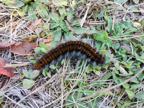
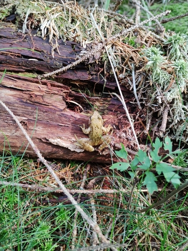
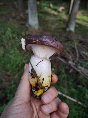
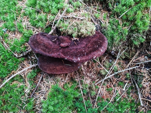
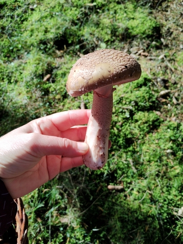
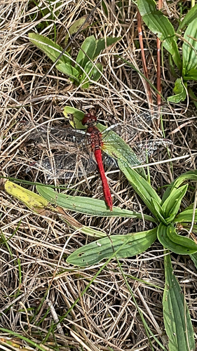
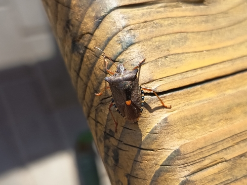
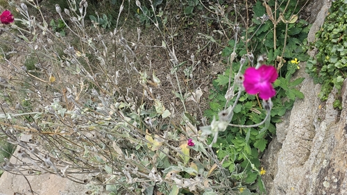
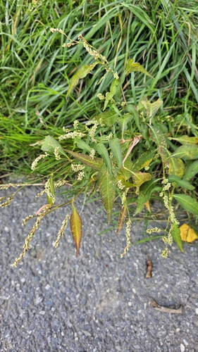
Research-grade observations from iNaturalist (within ~15 mi).
Events
Gallery
Official Identifiers
ČSÚ — Czech Statistical Office
- RÚIAN code
- CZ595268
- Population (Wikidata)
- 888
- Wikidata
- Q888865
RÚIAN obec ID via Wikidata P782
Sources
- • Wikipedia
- • Wikidata
- • iNaturalist
- • Open-Meteo / sunrise-sunset.org
- • Wikipedia Pageviews API
- • ČSÚ — Czech Statistical Office — RÚIAN obec ID via Wikidata P782