Browse / Czechia / Karlovy Vary / Bochov
Bochov
Karlovy Varyvillage

Bochov
Total population
1,258
Demographic figures from Czech Statistical Office. Overview below cites Wikipedia and may reference a different year.
City facts
Facts from Wikidata (CC0).
Overview
Bochov is a town in Karlovy Vary District in the Karlovy Vary Region of the Czech Republic. It has about 1,900 inhabitants.
Read more on WikipediaHistory & geography
History
The first written mention of Bochov is from 1325, when it was promoted to a market town. It was founded in the first half of the 14th century as a mining settlement, but the tin reserves here were soon mined. From 1938 to 1945, Bochov was annexed by Nazi Germany and administered as part of the Reichsgau Sudetenland. After World War II, the German-speaking population was expelled.
Geography
Bochov is located about southeast of Karlovy Vary. It lies on the border of three nature regions. The eastern part of the municipal territory with the town proper lies in the Teplá Highlands, the western part lies in the Slavkov Forest, and a small part in the northeast extends into the Doupov Mountains. The highest point is the hill Mirotický vrch at above sea level. The Střela River flows along the southern municipal border. The area of Bochov is rich in fishponds.
Excerpted from the corresponding Wikipedia article (CC BY-SA).
Geography
Coordinates & boundaries from the US Census TIGER/Line shapefiles.
Climate
Air quality
Walkability
Amenities nearby
Wildlife & biodiversity
Most-observed species
- MallardAnas platyrhynchos Linnaeus, 1758 · Aves386
- Eurasian BlackbirdTurdus merula Linnaeus, 1758 · Aves319
- Mute SwanCygnus olor (J.F.Gmelin, 1789) · Aves282
- Great TitParus major Linnaeus, 1758 · Aves277
- Common ChiffchaffPhylloscopus collybita (Vieillot, 1817) · Aves245
- Eurasian Blue TitCyanistes caeruleus (Linnaeus, 1758) · Aves234
- Common ChaffinchFringilla coelebs Linnaeus, 1758 · Aves231
- Common Wood-PigeonColumba palumbus Linnaeus, 1758 · Aves224
Citizen-science & research observations from the Global Biodiversity Information Facility (GBIF).
Earthquake history
Most recent
- M 3.2 — 2018-05-222 km ENE of Luby, Czechia
- M 4.1 — 2018-05-212 km SSE of Erlbach, Germany
- M 3.8 — 2014-05-314 km NE of Skalná, Czechia
- M 4 — 2011-09-045 km WSW of Habartov, Czechia
- M 2.9 — 2008-11-234 km SW of Oloví, Czechia
- M 2.9 — 2008-10-313 km NW of Zwota, Germany
Events from the USGS Earthquake Catalog (global) (FDSN Event Web Service).
Photos
Sights & places nearby
Notable people from here


People born within ~10 km, from Wikidata (CC0). Click any name for their Wikipedia article.
Nearby places in Karlovy Vary
- Boč14.7 mi away · pop. 76
- Citice19.1 mi away · pop. 713
- Slapany30.9 mi away
- Ouled Driss985.3 mi away · pop. 11,303
- M'Zaret Boumendjel985.8 mi away
- Mechroha987.8 mi away · pop. 21,802
- Souk Ahras991.3 mi away · pop. 155,259
- Mechtat Dardoura992.7 mi away
- Tiffech999.6 mi away
- Ain Tamatmat1000 mi away
- Ain el Garsa1005.6 mi away
- Hadj Rabah1006.3 mi away
Geography & sun
Elevation, sunrise/sunset and daylight from Open-Meteo. Solar climatology from NASA POWER.
Nearby airports
Public attention
Pageview totals from the Wikimedia Pageviews API.
Books about this place
Recent natural events nearby
Ground air-quality sensors
Recently spotted species
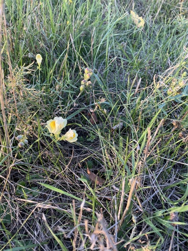
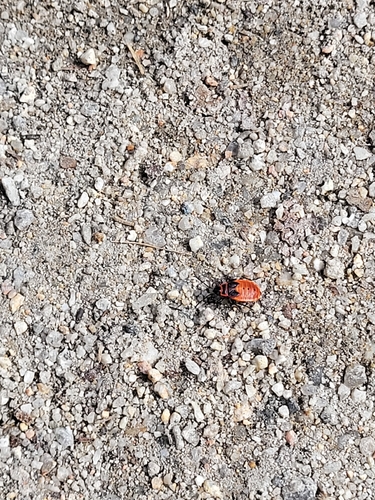
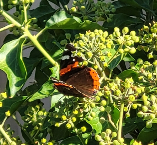
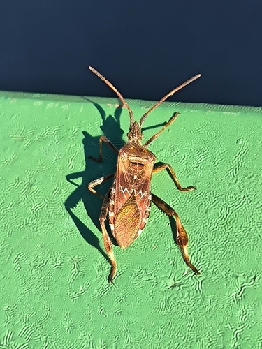
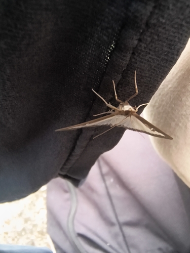
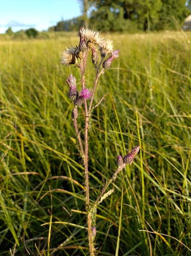
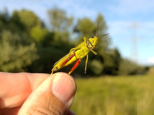

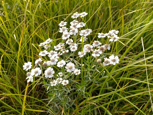
Research-grade observations from iNaturalist (within ~15 mi).
Events
Gallery
Geotagged photos within ~6 miles of Bochov, from Wikimedia Commons contributors.


.jpg)
.jpg)
.jpg)
.jpg)
.jpg)
.jpg)
.jpg)
.jpg)
.jpg)
.jpg)


.jpg)
.jpg)

.jpg)
.jpg)
.jpg)
.jpg)
.jpg)
Photos via Wikimedia Commons — see each image page for license & attribution.
Official Identifiers
ČSÚ — Czech Statistical Office
- RÚIAN code
- CZ555029
- Population (Wikidata)
- 1,874
- Wikidata
- Q512631
RÚIAN obec ID via Wikidata P782
Sources
- • Wikipedia
- • Wikimedia Commons
- • Wikidata
- • USGS Earthquake Catalog (global feed)
- • GBIF (Global Biodiversity Information Facility)
- • iNaturalist
- • Open-Meteo / sunrise-sunset.org
- • Wikipedia Pageviews API
- • Wikidata SPARQL (CC0) — population, area, elevation, inception, head of government, Commons image
- • ČSÚ — Czech Statistical Office — RÚIAN obec ID via Wikidata P782