Browse / Czechia / Ústí nad Labem / Bohušovice nad Ohří
Bohušovice nad Ohří
Ústí nad Labemvillage

Bohušovice nad Ohří
Total population
2,238
Demographic figures from Czech Statistical Office. Overview below cites Wikipedia and may reference a different year.
City facts
Facts from Wikidata (CC0).
Overview
Bohušovice nad Ohří is a town in Litoměřice District in the Ústí nad Labem Region of the Czech Republic. It has about 2,400 inhabitants. The town is located on the left bank of the Ohře River in the Lower Ohře Table.
Read more on WikipediaHistory & geography
History
The first written mention of Bohušovice nad Ohří is from 993, when Duke Boleslaus II donated the village to the Břevnov Monastery. The village often changed hands. In 1384, the monastery in Doksany had built the Church of Saint Procopius. From 1436 to 1460, Bohušovice was owned by the town of Litoměřice, and then it was acquired by Vilém of Kounice, who sold it to the Kaplíř of Sulejovice family. However, after a court trial, the village returned to the ownership of the Doksany Monastery. During the Thirty Years' War, Bohušovice was repeatedly looted and damaged by Saxons and Swedes. After the partial restoration of the village, it was once again plundered, this time by the Prussians in the Seven Years' War. The economic development of the village started with the construction of the railway from Prague to Dresden, which was put into operation in 1850. In 1920, Bohušovice was promoted to a town. After it ceased to be a town during World War II, the status of the town was restored in 1998.
Geography
Bohušovice nad Ohří is located about south of Litoměřice and southeast of Ústí nad Labem. It lies in a flat agricultural landscape in the Lower Ohře Table. The town proper lies on the left bank of the Ohře River.
Excerpted from the corresponding Wikipedia article (CC BY-SA).
Geography
Coordinates & boundaries from the US Census TIGER/Line shapefiles.
Climate
Air quality
Walkability
Amenities nearby
Wildlife & biodiversity
Earthquake history
Photos
Sights & places nearby
Notable people from here


People born within ~10 km, from Wikidata (CC0). Click any name for their Wikipedia article.
Geography & sun
Nearby airports
Public attention
Books about this place
Recent natural events nearby
Ground air-quality sensors
Recently spotted species
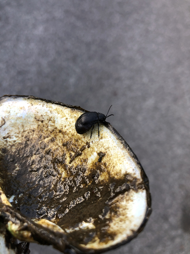
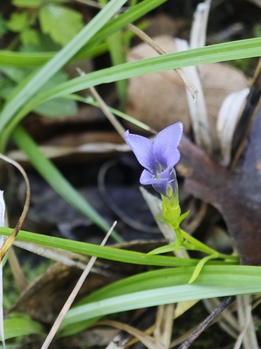
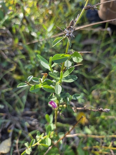
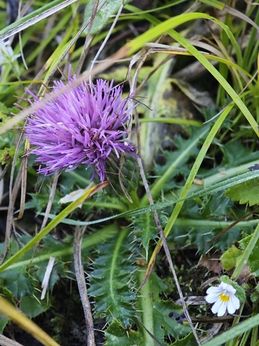
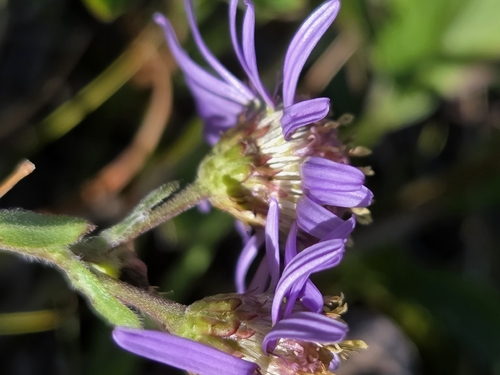
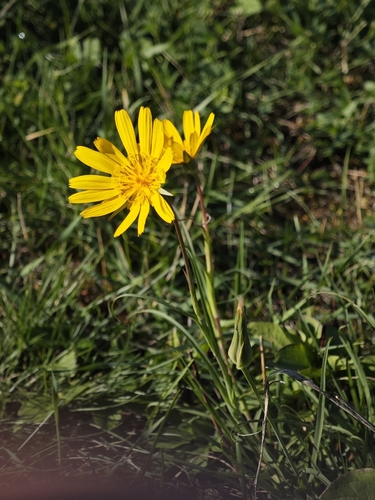
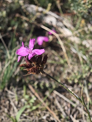
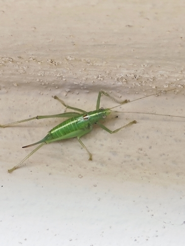
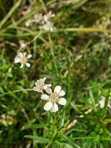
Research-grade observations from iNaturalist (within ~15 mi).
Events
Gallery
Official Identifiers
ČSÚ — Czech Statistical Office
- RÚIAN code
- CZ564591
- Population (Wikidata)
- 2,415
- Wikidata
- Q891004
RÚIAN obec ID via Wikidata P782
Sources
- • Wikipedia
- • Wikidata
- • iNaturalist
- • Wikidata SPARQL (CC0) — population, area, elevation, inception, head of government, Commons image
- • ČSÚ — Czech Statistical Office — RÚIAN obec ID via Wikidata P782