Browse / Czechia / Zlín / Bojkovice
Bojkovice
Zlíntown

Bojkovice
Total population
3,949
Demographic figures from Czech Statistical Office. Overview below cites Wikipedia and may reference a different year.
City facts
Facts from Wikidata (CC0).
Overview
Bojkovice is a town in Uherské Hradiště District in the Zlín Region of the Czech Republic. It has about 4,400 inhabitants. The town is located on the Olšava River, on the border between the Vizovice Highlands and the White Carpathians mountain range.
Read more on WikipediaHistory & geography
History
The first written mention of Bojkovice is from 1362. It was promoted to a market town in 1449. In the 16th century, Bojkovice was attacked and plundered by the Hungarians, bringing periods of famine. In the second half of the 19th century, Bojkovice was industrialised, but the municipality retained its agricultural character. Economic growth was slowed by World War II, during which all local mills and distilleries disappeared. Bojkovice received the town status in 1965.
Geography
Bojkovice is located about south of Zlín and northwest of Trenčín. The northern part of the municipal territory lies in the Vizovice Highlands and the southern part lies in the White Carpathians mountain range. The highest point is the hill Lokov at above sea level. The upper course of the Olšava River flows through the town. The built-up area lies in the valley of this river. The almost entire territory of Bojkovice lies within the Bílé Karpaty Protected Landscape Area.
Excerpted from the corresponding Wikipedia article (CC BY-SA).
Geography
Coordinates & boundaries from the US Census TIGER/Line shapefiles.
Climate
Air quality
Walkability
Amenities nearby
Wildlife & biodiversity
Most-observed species
- Great TitParus major Linnaeus, 1758 · Aves340
- Eurasian BlackbirdTurdus merula Linnaeus, 1758 · Aves328
- Eurasian Blue TitCyanistes caeruleus (Linnaeus, 1758) · Aves257
- Common ChaffinchFringilla coelebs Linnaeus, 1758 · Aves218
- Eurasian Collared-DoveStreptopelia decaocto (Frivaldszky, 1838) · Aves206
- Common BuzzardButeo buteo (Linnaeus, 1758) · Aves189
- Black RedstartPhoenicurus ochruros (S.G.Gmelin, 1774) · Aves174
- Great Spotted WoodpeckerDendrocopos major (Linnaeus, 1758) · Aves172
Citizen-science & research observations from the Global Biodiversity Information Facility (GBIF).
Earthquake history
Most recent
- M 2.8 — 2018-08-171 km ENE of Tren?ianske Teplice, Slovakia
- M 2.8 — 2008-04-122 km NNW of Horní Suchá, Czechia
- M 3.4 — 2008-02-062 km S of Orlová, Czechia
- M 2.8 — 2007-12-273 km S of Orlová, Czechia
- M 2.5 — 2007-11-152 km N of Morávka, Czechia
- M 3.4 — 2007-10-14Poland-Czech Republic-Slovakia Border Region
Events from the USGS Earthquake Catalog (global) (FDSN Event Web Service).
Photos
Sights & places nearby
Notable people from here


People born within ~10 km, from Wikidata (CC0). Click any name for their Wikipedia article.
Nearby places in Zlín
- Vrbětice7.6 mi away · pop. 391
- Vlachovice8.2 mi away · pop. 1,153
- Velký Ořechov8.2 mi away · pop. 697
- Vlachova Lhota9.9 mi away · pop. 242
- Horní Němčí11.3 mi away · pop. 829
- Bohuslavice u Zlína11.8 mi away · pop. 800
- Šarovy12.1 mi away · pop. 218
- Zádveřice-Raková12.3 mi away · pop. 1,070
- Jaroslavice12.9 mi away · pop. 714
- Raková13.8 mi away · pop. 210
- Veselá13.8 mi away · pop. 718
- Sady15.2 mi away · pop. 1,178
Geography & sun
Elevation, sunrise/sunset and daylight from Open-Meteo. Solar climatology from NASA POWER.
Nearby airports
Public attention
Pageview totals from the Wikimedia Pageviews API.
Books about this place
Recent natural events nearby
Ground air-quality sensors
Recently spotted species
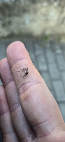
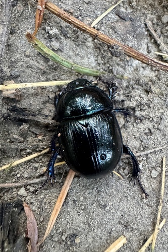
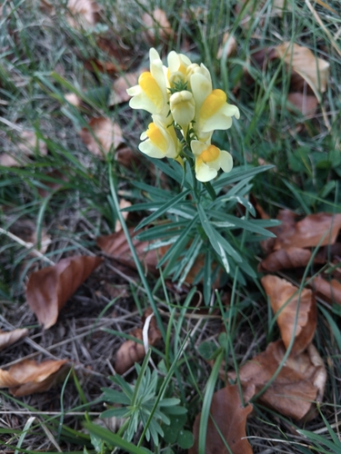
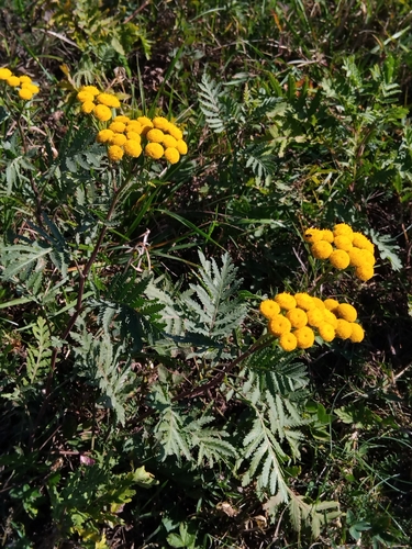
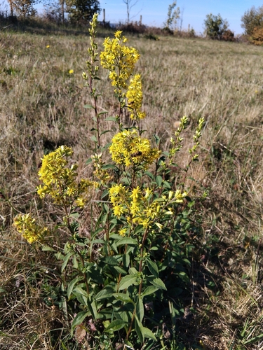
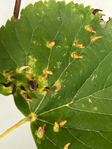
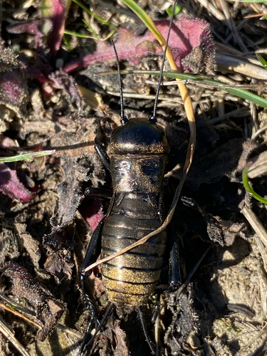
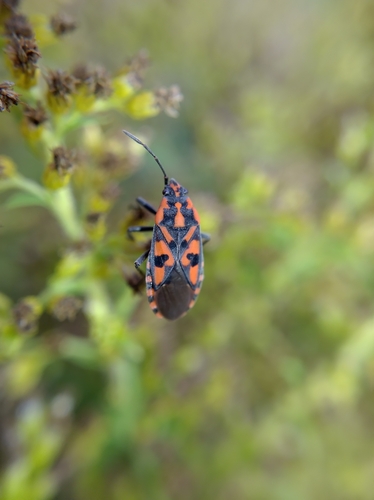
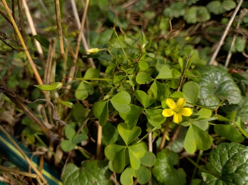
Research-grade observations from iNaturalist (within ~15 mi).
Events
Gallery
Official Identifiers
ČSÚ — Czech Statistical Office
- RÚIAN code
- CZ592048
- Population (Wikidata)
- 4,422
- Wikidata
- Q891190
RÚIAN obec ID via Wikidata P782
Sources
- • Wikipedia
- • Wikidata
- • USGS Earthquake Catalog (global feed)
- • GBIF (Global Biodiversity Information Facility)
- • iNaturalist
- • Open-Meteo / sunrise-sunset.org
- • Wikipedia Pageviews API
- • Wikidata SPARQL (CC0) — population, area, elevation, inception, head of government, Commons image
- • ČSÚ — Czech Statistical Office — RÚIAN obec ID via Wikidata P782