Browse / Czechia / South Moravian / Boskovice
Boskovice
South Moraviantown

Boskovice
Total population
10,679
Demographic figures from Czech Statistical Office. Overview below cites Wikipedia and may reference a different year.
City facts
Sister cities
Facts from Wikidata (CC0).
Overview
Boskovice is a town in Blansko District in the South Moravian Region of the Czech Republic. It has about 12,000 inhabitants.
Read more on WikipediaHistory & geography
History
Boskovice was probably founded in the 13th century as a market village. The first written mention of Boskovice is from 1222, when the lord Jimram of Boskovice was listed as a witness in a deed of the King Ottokar I of Bohemia. The Boskovice Castle was first mentioned in 1313. During the reign of Maria Theresa (1740–1780), Boskovice was promoted to a town. Until 1918, Boskovice was part of Austria-Hungary. In 1918, Boskovice became part of independent Czechoslovakia. From 1848 until 1960, Boskovice was a district town. Since 1960, it has been part of Blansko District.
Geography
Boskovice is located about north of Brno. It lies on the border of the Boskovice Furrow and Drahany Highlands. The Boskovice Reservoir is largely located in the municipal territory. The reservoir lies on the river Bělá, which flows through the eastern part of the town and the southern part of the territory.
Excerpted from the corresponding Wikipedia article (CC BY-SA).
Geography
Coordinates & boundaries from the US Census TIGER/Line shapefiles.
Climate
10-year averages from ERA5 reanalysis (Open-Meteo).
Air quality
Walkability
Amenities nearby
Wildlife & biodiversity
Most-observed species
- Great TitParus major Linnaeus, 1758 · Aves398
- Eurasian BlackbirdTurdus merula Linnaeus, 1758 · Aves393
- Common BuzzardButeo buteo (Linnaeus, 1758) · Aves377
- Common ChaffinchFringilla coelebs Linnaeus, 1758 · Aves314
- Eurasian Blue TitCyanistes caeruleus (Linnaeus, 1758) · Aves292
- YellowhammerEmberiza citrinella Linnaeus, 1758 · Aves279
- Great Spotted WoodpeckerDendrocopos major (Linnaeus, 1758) · Aves274
- Eurasian NuthatchSitta europaea Linnaeus, 1758 · Aves248
Citizen-science & research observations from the Global Biodiversity Information Facility (GBIF).
Earthquake history
Most recent
- M 3 — 2006-03-211 km NNW of Bystré, Czechia
- M 2.6 — 2005-12-315 km ENE of Šternberk, Czechia
Events from the USGS Earthquake Catalog (global) (FDSN Event Web Service).
Photos
Sights & places nearby
Notable people from here


People born within ~10 km, from Wikidata (CC0). Click any name for their Wikipedia article.
Nearby places in South Moravian
- Hrádkov1.6 mi away · pop. 142
- Chrudichromy1.8 mi away · pop. 185
- Mladkov2 mi away · pop. 235
- Vratíkov2.3 mi away · pop. 229
- Skalice nad Svitavou2.4 mi away · pop. 609
- Bačov2.8 mi away · pop. 74
- Valchov2.9 mi away · pop. 447
- Sudice2.9 mi away · pop. 397
- Svitávka3 mi away · pop. 1,577
- Míchov3.2 mi away · pop. 150
- Velenov3.3 mi away · pop. 191
- Vážany3.3 mi away · pop. 191
Geography & sun
Elevation, sunrise/sunset and daylight from Open-Meteo. Solar climatology from NASA POWER.
Nearby airports
Public attention
Pageview totals from the Wikimedia Pageviews API.
Books about this place
Recent natural events nearby
Ground air-quality sensors
Recently spotted species
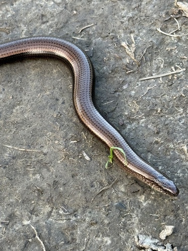
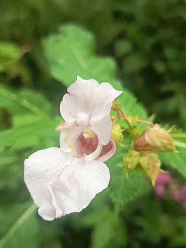
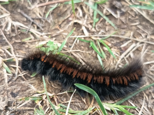
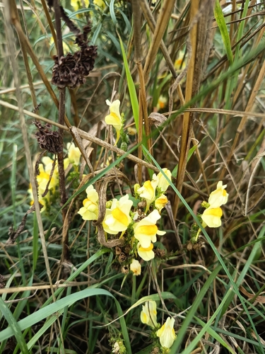
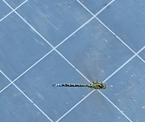
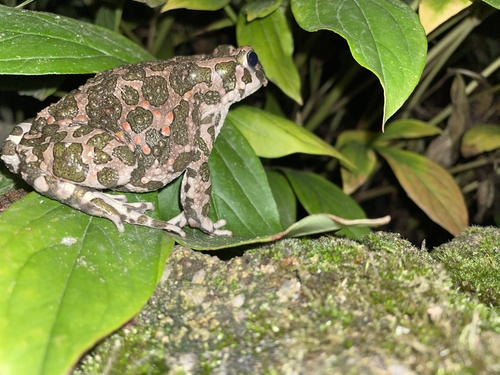
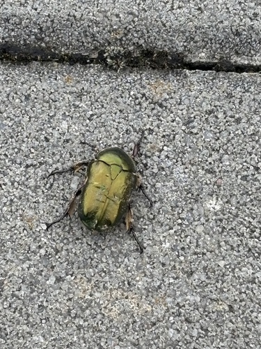
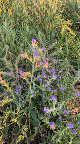
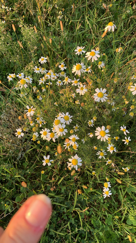
Research-grade observations from iNaturalist (within ~15 mi).
Events
Gallery
Official Identifiers
ČSÚ — Czech Statistical Office
- RÚIAN code
- CZ581372
- Population (Wikidata)
- 12,508
- Wikidata
- Q894440
RÚIAN obec ID via Wikidata P782
Sources
- • Wikipedia
- • Open-Meteo (ERA5 reanalysis)
- • Wikidata
- • USGS Earthquake Catalog (global feed)
- • GBIF (Global Biodiversity Information Facility)
- • iNaturalist
- • Open-Meteo / sunrise-sunset.org
- • Wikipedia Pageviews API
- • Wikidata SPARQL (CC0) — population, area, elevation, inception, head of government, Commons image
- • ČSÚ — Czech Statistical Office — RÚIAN obec ID via Wikidata P782