Browse / Czechia / Moravian-Silesian / Bratříkovice
Bratříkovice
Moravian-Silesianvillage

Bratříkovice
Total population
164
Demographic figures from Czech Statistical Office. Overview below cites Wikipedia and may reference a different year.
City facts
Facts from Wikidata (CC0).
Overview
Bratříkovice is a municipality and village in Opava District in the Moravian-Silesian Region of the Czech Republic. It has about 200 inhabitants.
Read more on WikipediaHistory & geography
Geography
Bratříkovice is located about west of Opava. It lies in the Nízký Jeseník mountain range.
Excerpted from the corresponding Wikipedia article (CC BY-SA).
Geography
Coordinates & boundaries from the US Census TIGER/Line shapefiles.
Climate
Air quality
Walkability
Amenities nearby
Wildlife & biodiversity
Earthquake history
Photos
Sights & places nearby
Notable people from here
Nearby places in Moravian-Silesian
- Svobodné Heřmanice1.1 mi away · pop. 504
- Jakartovice1.2 mi away · pop. 402
- Košetice1.8 mi away · pop. 102
- Hlavnice1.9 mi away · pop. 595
- Mladecko2.5 mi away · pop. 164
- Deštné2.6 mi away · pop. 232
- Staré Heřminovy2.8 mi away · pop. 238
- Sádek3 mi away · pop. 322
- Horní Životice3.3 mi away · pop. 335
- Litultovice3.3 mi away · pop. 761
- Malé Heraltice3.4 mi away · pop. 194
- Velké Heraltice3.4 mi away · pop. 931
Geography & sun
Elevation, sunrise/sunset and daylight from Open-Meteo. Solar climatology from NASA POWER.
Nearby airports
Public attention
Pageview totals from the Wikimedia Pageviews API.
Books about this place
Recent natural events nearby
Ground air-quality sensors
Recently spotted species
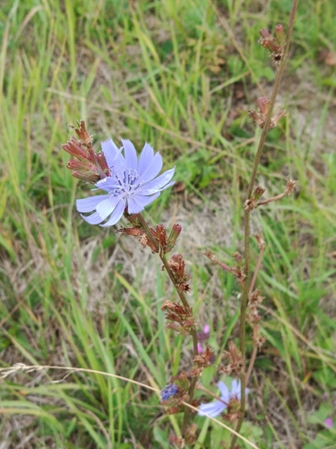
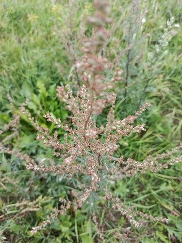
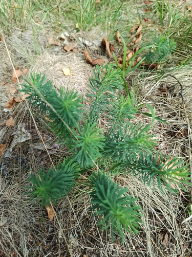
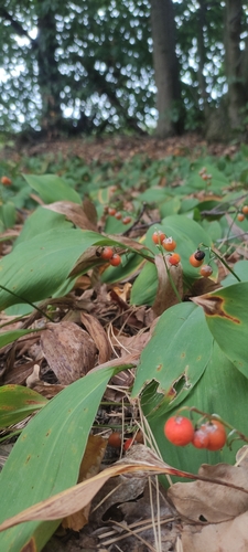
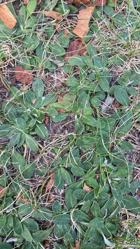
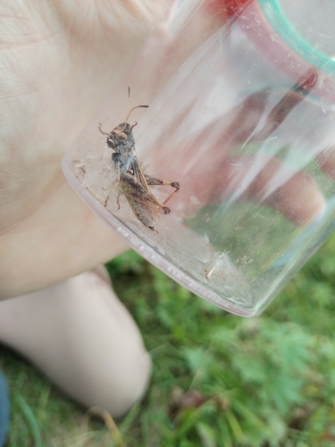
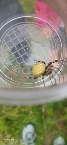
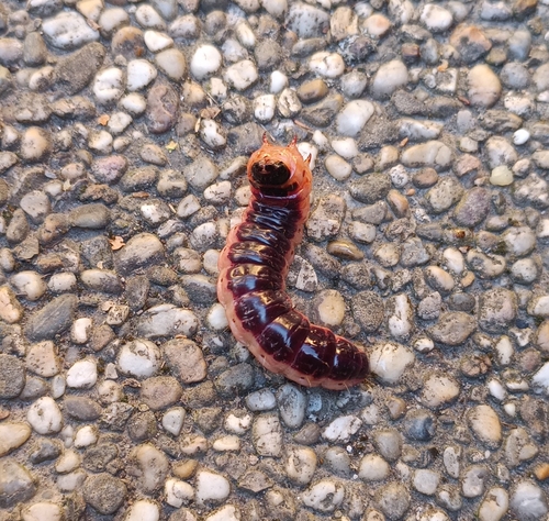
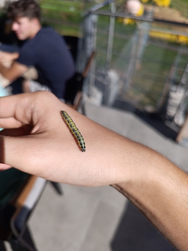
Research-grade observations from iNaturalist (within ~15 mi).
Events
Gallery
Official Identifiers
ČSÚ — Czech Statistical Office
- RÚIAN code
- CZ553107
- Population (Wikidata)
- 154
- Wikidata
- Q2524590
RÚIAN obec ID via Wikidata P782
Sources
- • Wikipedia
- • Wikidata
- • iNaturalist
- • Open-Meteo / sunrise-sunset.org
- • Wikipedia Pageviews API
- • ČSÚ — Czech Statistical Office — RÚIAN obec ID via Wikidata P782