Browse / Czechia / Pardubice / Brněnec
Brněnec
Pardubicevillage

Brněnec
Total population
1,334
Demographic figures from Czech Statistical Office. Overview below cites Wikipedia and may reference a different year.
City facts
Facts from Wikidata (CC0).
Overview
Brněnec is a municipality and village in Svitavy District in the Pardubice Region of the Czech Republic. It has about 1,200 inhabitants. The municipality is located on the Svitava River in the Svitavy Uplands. Brněnec is known as the place where Oskar Schindler had his factory during World War II, thanks to which he saved the lives of hundreds of Jews.
Read more on WikipediaHistory & geography
History
Next to an old trade route, the settlement of Moravská Chrastová was founded after 1200 by monks from the monastery in Litomyšl. Moravská Chrastová was first mentioned in a document from 1323. The first written mention of Brněnec is in the act of partition of the Svojanov estate from 1557. Until the 18th century, it was a part of Bělá nad Svitavou. After the Löw-Beer family founded here a textile factory, the importance of Brněnec grew. In 1938, the municipality was annexed by Nazi Germany and administered as part of the Reichsgau Sudetenland. After World War II, the Germans were expelled. The Löw-Beer Jewish family founded a textile producing company in the 1810s, and in 1855 rebuilt an old paper mill in Brněnec into the textile factory. In 1938, it was taken over by Germans. In 1944, Oskar Schindler relocated his German Enamelware Factory and the associated prison camp of 1,200 Jewish forced labourers from Kraków to a munitions factory acquired by him in Brněnec. The Jewish workforce thus escaped transport to the extermination camps and was liberated along with the rest of the municipality on 10 May 1945 by the Red Army, after the factory had been fully operational for seven months.
Geography
Brněnec is located about south of Svitavy and north of Brno. It lies in the Svitavy Uplands. The highest point is at above sea level. The municipality is situated at the confluence of the Svitava River and the stream Chrastovský potok; the built-up area is located in the valleys of these two watercourses. The Svitava River forms here the historical border between Bohemia and Moravia.
Excerpted from the corresponding Wikipedia article (CC BY-SA).
Geography
Coordinates & boundaries from the US Census TIGER/Line shapefiles.
Climate
Air quality
Walkability
Amenities nearby
Wildlife & biodiversity
Most-observed species
- Great TitParus major Linnaeus, 1758 · Aves384
- Eurasian Blue TitCyanistes caeruleus (Linnaeus, 1758) · Aves322
- Eurasian BlackbirdTurdus merula Linnaeus, 1758 · Aves297
- Common ChaffinchFringilla coelebs Linnaeus, 1758 · Aves283
- Common ChiffchaffPhylloscopus collybita (Vieillot, 1817) · Aves276
- MallardAnas platyrhynchos Linnaeus, 1758 · Aves259
- YellowhammerEmberiza citrinella Linnaeus, 1758 · Aves248
- Great Spotted WoodpeckerDendrocopos major (Linnaeus, 1758) · Aves237
Citizen-science & research observations from the Global Biodiversity Information Facility (GBIF).
Earthquake history
Most recent
- M 3 — 2006-03-211 km NNW of Bystré, Czechia
- M 2.6 — 2005-12-315 km ENE of Šternberk, Czechia
- M 3.4 — 2005-10-250 km N of ?ervený Kostelec, Czechia
- M 2.9 — 2005-08-102 km WSW of ?ervený Kostelec, Czechia
Events from the USGS Earthquake Catalog (global) (FDSN Event Web Service).
Photos
Sights & places nearby
Notable people from here
Geography & sun
Elevation, sunrise/sunset and daylight from Open-Meteo. Solar climatology from NASA POWER.
Nearby airports
Public attention
Pageview totals from the Wikimedia Pageviews API.
Books about this place
Recent natural events nearby
Ground air-quality sensors
Recently spotted species
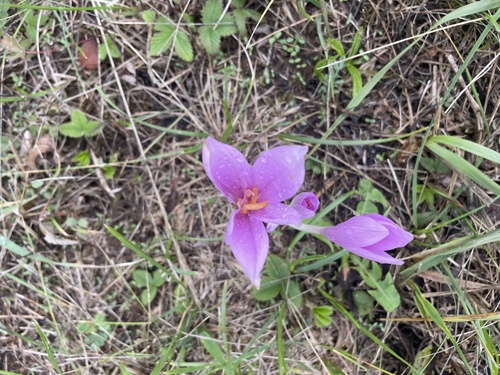
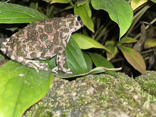
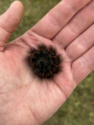
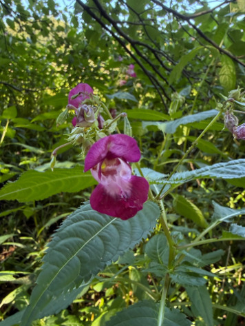
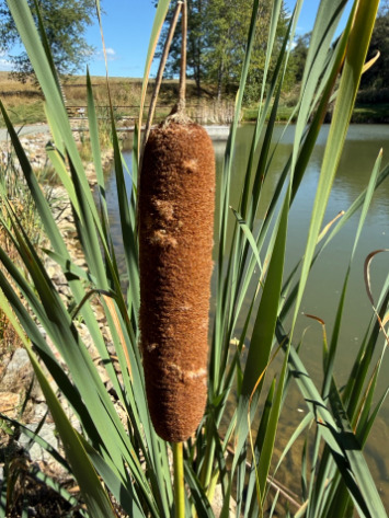
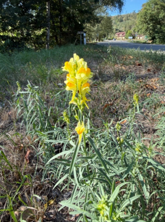
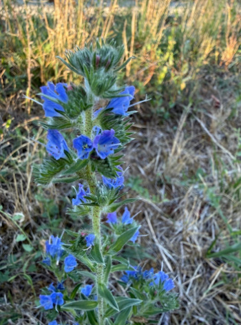
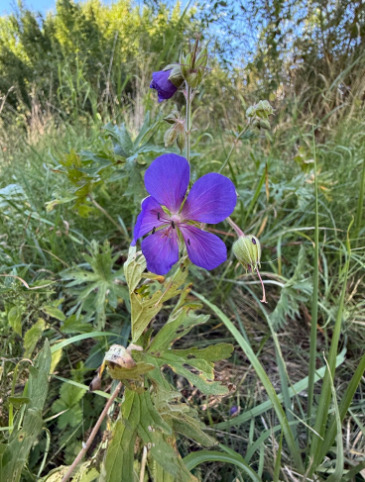
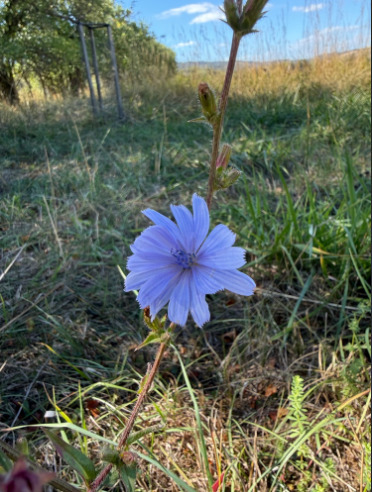
Research-grade observations from iNaturalist (within ~15 mi).
Events
Gallery
Official Identifiers
ČSÚ — Czech Statistical Office
- RÚIAN code
- CZ577863
- Population (Wikidata)
- 1,217
- Wikidata
- Q510483
RÚIAN obec ID via Wikidata P782
Sources
- • Wikipedia
- • Wikidata
- • USGS Earthquake Catalog (global feed)
- • GBIF (Global Biodiversity Information Facility)
- • iNaturalist
- • Open-Meteo / sunrise-sunset.org
- • Wikipedia Pageviews API
- • Wikidata SPARQL (CC0) — population, area, elevation, inception, head of government, Commons image
- • ČSÚ — Czech Statistical Office — RÚIAN obec ID via Wikidata P782