Browse / Czechia / South Moravian / Bučovice
Bučovice
South Moraviantown

Bučovice
Total population
4,453
Demographic figures from Czech Statistical Office. Overview below cites Wikipedia and may reference a different year.
City facts
Facts from Wikidata (CC0).
Overview
Bučovice is a town in Vyškov District in the South Moravian Region of the Czech Republic. It has about 6,900 inhabitants. The town is located on the Litava River, on the border between the Litenčice Hills and Ždánice Forest.
Read more on WikipediaHistory & geography
History
The first written mention of Bučovice is from 1322. However, a stone church stood here already in the 13th century. In the late 14th century, it was referred to as a market town with vineyards. In the 16th century, Bučovice prospered and developed. The owner of the estate Jan Šembera Černohorský of Boskovice had built here one of the most magnificent Renaissance residences in Moravia. The castle was finished by his son-in-law Maximilian of Liechtenstein in the 1630s. During the Thirty Years' War in 1645, Bučovice was looted and damaged by the Swedish troops, but the castle was defended.
Geography
Bučovice is located about south of Vyškov and east of Brno. It lies on the border between the Litenčice Hills and Ždánice Forest. The highest point is the Radlovec hill at above sea level. The Litava River flows through the town.
Excerpted from the corresponding Wikipedia article (CC BY-SA).
Geography
Coordinates & boundaries from the US Census TIGER/Line shapefiles.
Climate
Air quality
Walkability
Amenities nearby
Wildlife & biodiversity
Earthquake history
Photos
Sights & places nearby
Notable people from here


People born within ~10 km, from Wikidata (CC0). Click any name for their Wikipedia article.
Nearby places in South Moravian
- Vícemilice1 mi away · pop. 738
- Kloboučky1.2 mi away · pop. 507
- Kojátky1.9 mi away · pop. 349
- Mouřínov2.2 mi away · pop. 467
- Bohaté Málkovice2.8 mi away · pop. 249
- Křižanovice2.9 mi away · pop. 709
- Rašovice3.1 mi away · pop. 667
- Milonice3.2 mi away · pop. 337
- Uhřice3.8 mi away · pop. 237
- Kozlany4.1 mi away · pop. 321
- Dražovice4.1 mi away · pop. 826
- Bohdalice4.5 mi away · pop. 468
Geography & sun
Elevation, sunrise/sunset and daylight from Open-Meteo. Solar climatology from NASA POWER.
Nearby airports
Public attention
Pageview totals from the Wikimedia Pageviews API.
Books about this place
Recent natural events nearby
Ground air-quality sensors
Recently spotted species
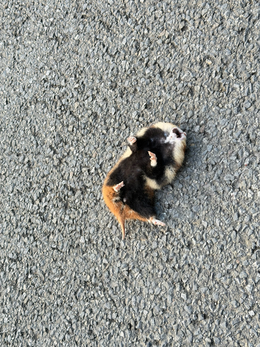
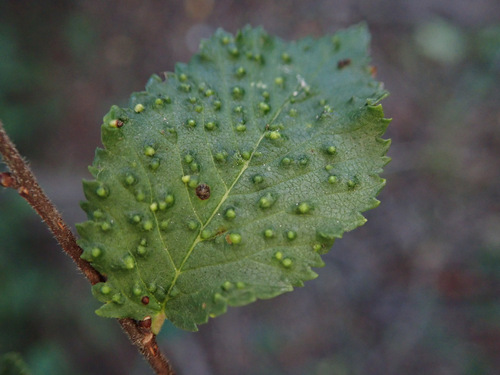
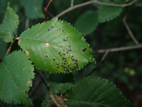
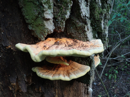
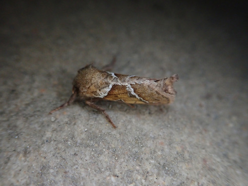
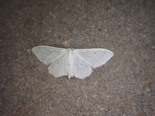
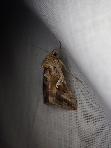
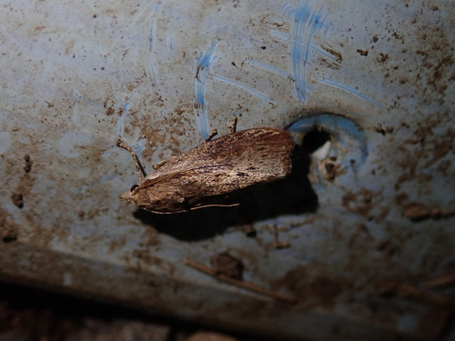
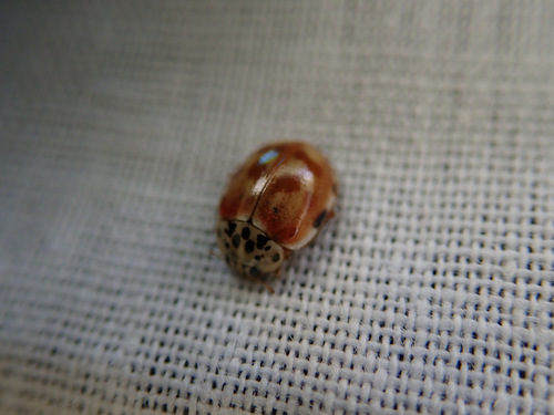
Research-grade observations from iNaturalist (within ~15 mi).
Events
Gallery
Official Identifiers
ČSÚ — Czech Statistical Office
- RÚIAN code
- CZ592943
- Population (Wikidata)
- 6,891
- Wikidata
- Q776426
RÚIAN obec ID via Wikidata P782
Sources
- • Wikipedia
- • Wikidata
- • iNaturalist
- • Open-Meteo / sunrise-sunset.org
- • Wikipedia Pageviews API
- • Wikidata SPARQL (CC0) — population, area, elevation, inception, head of government, Commons image
- • ČSÚ — Czech Statistical Office — RÚIAN obec ID via Wikidata P782