Browse / Czechia / Central Bohemian / Buštěhrad
Buštěhrad
Central Bohemiantown

Buštěhrad
Total population
3,407
Demographic figures from Czech Statistical Office. Overview below cites Wikipedia and may reference a different year.
City facts
Sister cities
Facts from Wikidata (CC0).
Overview
Buštěhrad is a town in Kladno District in the Central Bohemian Region of the Czech Republic. It has about 4,000 inhabitants.
Read more on WikipediaHistory & geography
History
The first written mention of Buštěhrad is from 1209. In the 13th century, a fortress was built here, later rebuilt into a castle, which was one of the biggest in the kingdom in the 15th century. In 1497, Buštěhrad was promoted to a town by King Vladislaus II. During the Thirty Years' War, the castle was destroyed. After the war, houses were built in the ruins, and it became a unique quarter, today called Starý Hrad ("Old Castle"). In the 19th century, the town developed thanks to coal mining and construction of the railway.
Geography
Buštěhrad is located about northwest of Prague. It lies in a flat agricultural landscape of the Prague Plateau. The stream Buštěhradský potok originates in the municipal territory, flows through the town, and supplies two small fishponds in the town centre.
Excerpted from the corresponding Wikipedia article (CC BY-SA).
Geography
Coordinates & boundaries from the US Census TIGER/Line shapefiles.
Climate
Air quality
Walkability
Amenities nearby
Wildlife & biodiversity
Earthquake history
Photos
Sights & places nearby
Notable people from here


People born within ~10 km, from Wikidata (CC0). Click any name for their Wikipedia article.
Nearby places in Central Bohemian
- Noutonice4.1 mi away · pop. 93
- Srby7.6 mi away · pop. 355
- Brnky9.8 mi away · pop. 93
- Drnek10 mi away · pop. 161
- Honice10.3 mi away · pop. 246
- Přemyšlení10.6 mi away · pop. 300
- Kuchař12.2 mi away · pop. 82
- Veliká Ves13.2 mi away · pop. 247
- Stradonice13.5 mi away · pop. 150
- Lukov13.9 mi away · pop. 77
- Solopisky14.2 mi away · pop. 148
- Otročiněves15.3 mi away · pop. 434
Geography & sun
Nearby airports
Public attention
Books about this place
Recent natural events nearby
Ground air-quality sensors
Recently spotted species

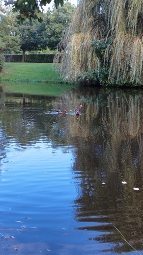
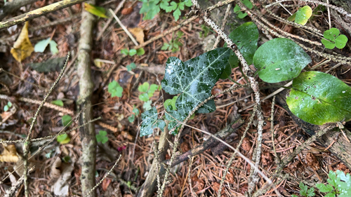
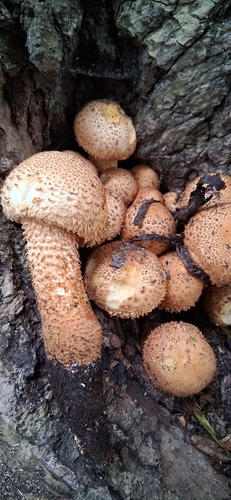
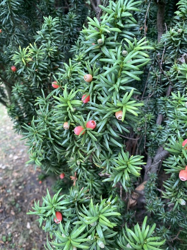
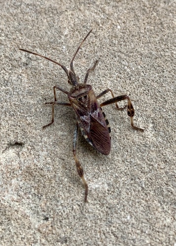
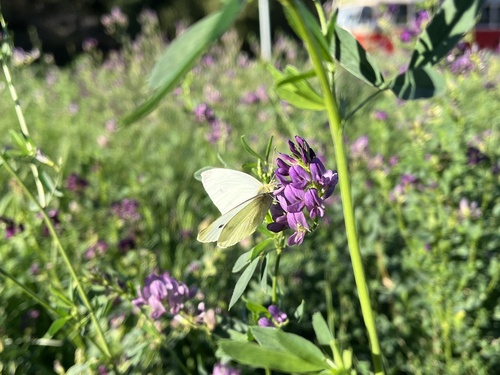
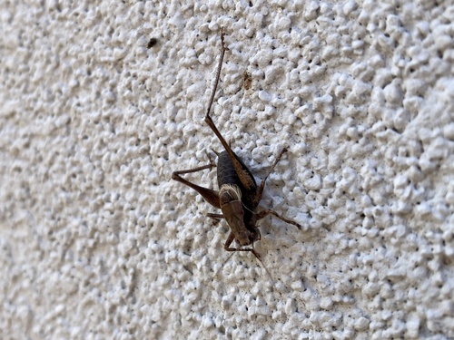
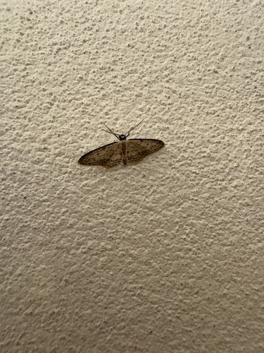
Research-grade observations from iNaturalist (within ~15 mi).
Events
Gallery
Official Identifiers
ČSÚ — Czech Statistical Office
- RÚIAN code
- CZ532169
- Population (Wikidata)
- 3,995
- Wikidata
- Q158423
RÚIAN obec ID via Wikidata P782
Sources
- • Wikipedia
- • Wikidata
- • iNaturalist
- • Wikidata SPARQL (CC0) — population, area, elevation, inception, head of government, Commons image
- • ČSÚ — Czech Statistical Office — RÚIAN obec ID via Wikidata P782