Browse / Czechia / Vysočina / Bystřice nad Pernštejnem
Bystřice nad Pernštejnem
Vysočinatown

Bystřice nad Pernštejnem
Total population
7,793
Demographic figures from Czech Statistical Office. Overview below cites Wikipedia and may reference a different year.
City facts
Sister cities
Facts from Wikidata (CC0).
Overview
Bystřice nad Pernštejnem is a town in Žďár nad Sázavou District in the Vysočina Region of the Czech Republic. It has about 7,900 inhabitants. The town is located on the Bystřice Stream in the Upper Svratka Highlands. The most important monument is the Church of Saint Lawrence.
Read more on WikipediaHistory & geography
History
The first written mention of Bystřice is from 1238. It was founded by the Lords of Medlov during the colonisation in the 13th century. In the 14th century, it became the administrative, economic and commercial centre of the surrounding villages in the Pernštejn dominion. In 1348, it was first referred to as a market town. In 1446, Bystřice became a property of the Pernštejn family. During their rule, it gained various privileges and rapidly developed. Bystřice was promoted to a town by Rudolf II in 1580. By this occasion the town received its coat of arms. The owners of the town changed frequently after 1588, when it was sold by Jan V of Pernštejn. The prosperity was interrupted by frequent fires. The most destructive fires occurred in 1585, 1666 and 1841. In 1905, the town was connected by railway with Žďár nad Sázavou and Tišnov which contributed to development of local industry. The town also benefited from the development of uranium industry in Dolní Rožínka. The Jewish population disappeared as a result of the Holocaust and it was not renewed after World War II.
Geography
Bystřice nad Pernštejnem is located about east of Žďár nad Sázavou and northwest of Brno. It lies in the Upper Svratka Highlands. The highest point is the hill Přední skála at above sea level. The Bystřice Stream flows through the town. In the north, the municipal territory borders Vír I Reservoir.
Excerpted from the corresponding Wikipedia article (CC BY-SA).
Geography
Coordinates & boundaries from the US Census TIGER/Line shapefiles.
Climate
10-year averages from ERA5 reanalysis (Open-Meteo).
Air quality
Walkability
Amenities nearby
Wildlife & biodiversity
Earthquake history
Photos
Sights & places nearby
Notable people from here


People born within ~10 km, from Wikidata (CC0). Click any name for their Wikipedia article.
Nearby places in Vysočina
- Bratrušín0.8 mi away · pop. 86
- Domanínek1.2 mi away · pop. 115
- Dvořiště1.6 mi away · pop. 93
- Ždánice1.7 mi away · pop. 187
- Domanín1.8 mi away · pop. 301
- Lesoňovice2.1 mi away · pop. 87
- Karasín2.6 mi away · pop. 82
- Pivonice2.7 mi away · pop. 75
- Vítochov3.1 mi away · pop. 127
- Janovičky3.4 mi away · pop. 55
- Albrechtice3.4 mi away · pop. 96
- Pernštejnské Janovice3.4 mi away · pop. 28
Geography & sun
Elevation, sunrise/sunset and daylight from Open-Meteo. Solar climatology from NASA POWER.
Nearby airports
Public attention
Pageview totals from the Wikimedia Pageviews API.
Books about this place
Recent natural events nearby
Ground air-quality sensors
Recently spotted species
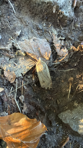
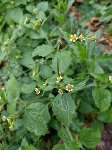
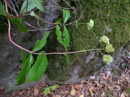
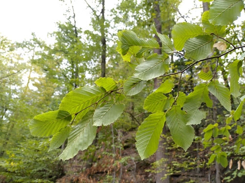
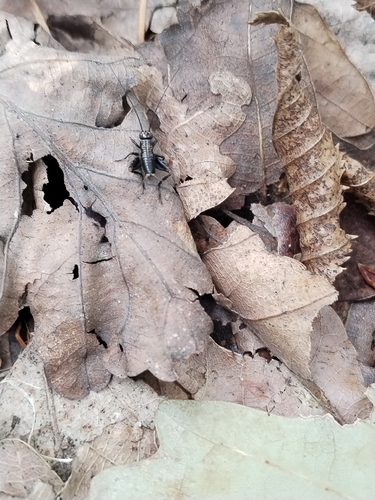
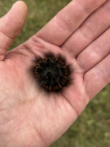
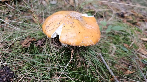
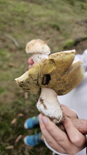
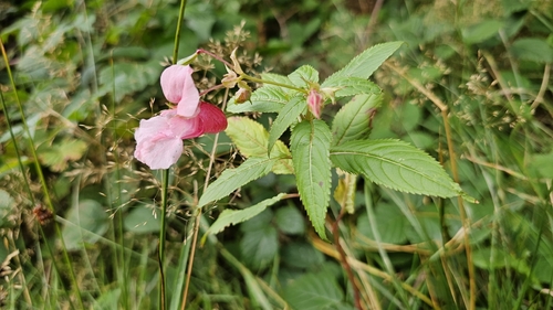
Research-grade observations from iNaturalist (within ~15 mi).
Events
Gallery
Official Identifiers
ČSÚ — Czech Statistical Office
- RÚIAN code
- CZ595411
- Population (Wikidata)
- 7,871
- Wikidata
- Q1018700
RÚIAN obec ID via Wikidata P782
Sources
- • Wikipedia
- • Open-Meteo (ERA5 reanalysis)
- • Wikidata
- • iNaturalist
- • Open-Meteo / sunrise-sunset.org
- • Wikipedia Pageviews API
- • ČSÚ — Czech Statistical Office — RÚIAN obec ID via Wikidata P782