Browse / Czechia / Moravian-Silesian / Čeladná
Čeladná
Moravian-Silesianvillage

Čeladná
Total population
2,035
Demographic figures from Czech Statistical Office. Overview below cites Wikipedia and may reference a different year.
City facts
Facts from Wikidata (CC0).
Overview
Čeladná is a municipality and village in Frýdek-Místek District in the Moravian-Silesian Region of the Czech Republic. It has about 3,000 inhabitants. The municipality is located on the Čeladenka Stream in the Moravian-Silesian Beskids mountain range.
Read more on WikipediaHistory & geography
History
The first written mention of Čeladná is from 1581. The spa and rehabilitation centre were founded here in 1902. From the 1950s to 2000, the activity of the spa was suspended and there was a hospital and a popular maternity hospital on the premises, therefore Čeladná is the birthplace of many personalities.
Geography
Čeladná is located about south of Frýdek-Místek and south of Ostrava. It lies in the Moravian-Silesian Beskids mountain range. The highest point is the mountain Smrk at above sea level. The municipality is situated in the valley of the Čeladenka Stream.
Excerpted from the corresponding Wikipedia article (CC BY-SA).
Geography
Coordinates & boundaries from the US Census TIGER/Line shapefiles.
Climate
Air quality
Walkability
Amenities nearby
Wildlife & biodiversity
Most-observed species
- Eurasian BlackbirdTurdus merula Linnaeus, 1758 · Aves827
- Great TitParus major Linnaeus, 1758 · Aves808
- Common ChaffinchFringilla coelebs Linnaeus, 1758 · Aves746
- Great Spotted WoodpeckerDendrocopos major (Linnaeus, 1758) · Aves608
- Eurasian Blue TitCyanistes caeruleus (Linnaeus, 1758) · Aves603
- Coal TitPeriparus ater (Linnaeus, 1758) · Aves565
- Eurasian NuthatchSitta europaea Linnaeus, 1758 · Aves532
- Willow GentianGentiana asclepiadea L. · Magnoliopsida501
Citizen-science & research observations from the Global Biodiversity Information Facility (GBIF).
Earthquake history
Most recent
- M 2.6 — 2026-04-091 km WNW of Radlin, Poland
- M 2.9 — 2025-04-294 km WSW of Bytom, Poland
- M 3.2 — 2025-01-271 km NE of Radlin, Poland
- M 2.9 — 2024-07-114 km N of Jejkowice, Poland
- M 3 — 2023-10-042 km W of Murcki, Poland
- M 2.8 — 2023-01-122 km ENE of Karviná, Czechia
Events from the USGS Earthquake Catalog (global) (FDSN Event Web Service).
Photos
Sights & places nearby
Notable people from here


People born within ~10 km, from Wikidata (CC0). Click any name for their Wikipedia article.
Nearby places in Moravian-Silesian
- Nová Ves2.5 mi away · pop. 1,010
- Ostravice2.6 mi away · pop. 2,308
- Kunčice pod Ondřejníkem2.8 mi away · pop. 1,962
- Lhotka3.8 mi away · pop. 432
- Malenovice3.9 mi away · pop. 377
- Metylovice4 mi away · pop. 1,491
- Pržno4.6 mi away · pop. 750
- Kozlovice4.6 mi away · pop. 2,602
- Trojanovice4.9 mi away · pop. 1,635
- Tichá5.4 mi away · pop. 1,452
- Myslík5.6 mi away · pop. 446
- Frenštát pod Radhoštěm5.6 mi away · pop. 10,850
Geography & sun
Elevation, sunrise/sunset and daylight from Open-Meteo. Solar climatology from NASA POWER.
Nearby airports
Public attention
Pageview totals from the Wikimedia Pageviews API.
Books about this place
Recent natural events nearby
Ground air-quality sensors
Recently spotted species
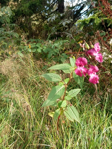
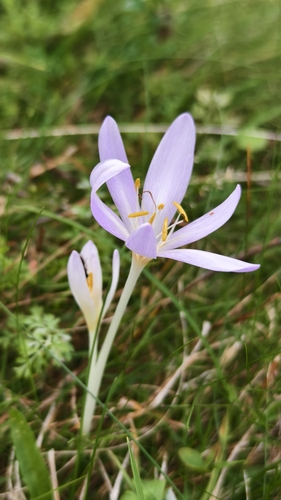
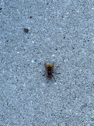
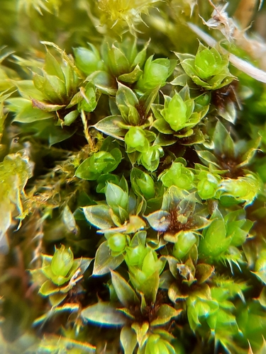
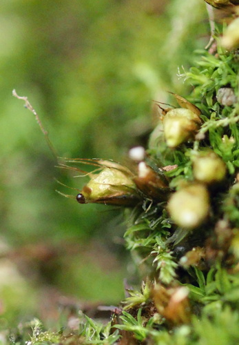
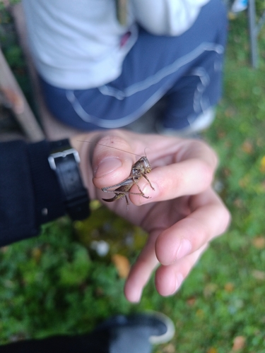
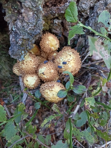
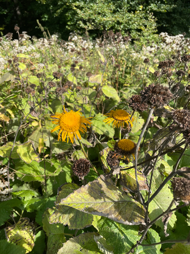
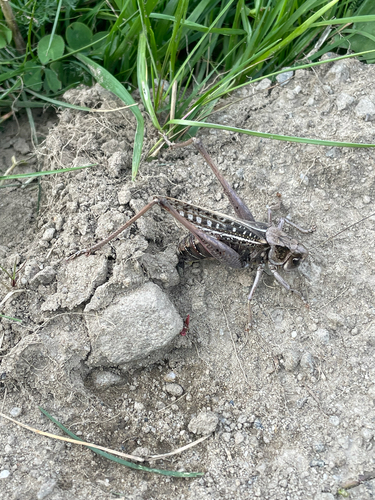
Research-grade observations from iNaturalist (within ~15 mi).
Events
Gallery
Official Identifiers
ČSÚ — Czech Statistical Office
- RÚIAN code
- CZ598071
- Population (Wikidata)
- 2,931
- Wikidata
- Q338391
RÚIAN obec ID via Wikidata P782
Sources
- • Wikipedia
- • Wikidata
- • USGS Earthquake Catalog (global feed)
- • GBIF (Global Biodiversity Information Facility)
- • iNaturalist
- • Open-Meteo / sunrise-sunset.org
- • Wikipedia Pageviews API
- • Wikidata SPARQL (CC0) — population, area, elevation, inception, head of government, Commons image
- • ČSÚ — Czech Statistical Office — RÚIAN obec ID via Wikidata P782