Browse / Czechia / Vysočina / Černíč
Černíč
Vysočinavillage

Featured view
Černíč
Total population
70
Elevation485 m
Land area7.63 km²
Coordinates49.13°, 15.46°
Demographic figures from Czech Statistical Office. Overview below cites Wikipedia and may reference a different year.
Loading additional data from public sources…0 / 11
CensusWikipediaWeatherPlacesPeopleEnvironmentHealth & SchoolsRelatedGeography & CultureLive MonitoringEvents & Gallery
0% completeCity facts
Facts from Wikidata (CC0).
Overview
Černíč is a municipality and village in Jihlava District in the Vysočina Region of the Czech Republic. It has about 100 inhabitants.
Read more on WikipediaHistory & geography
Geography
Latitude
49.1278
Longitude
15.4594
Water area
—
Coordinates & boundaries from the US Census TIGER/Line shapefiles.
Climate
Air quality
Walkability
Amenities nearby
Wildlife & biodiversity
Earthquake history
Photos
Sights & places nearby
Notable people from here

Matěj Mikšíček
Czech publicist and writer (1815-1892)

Bohumír Kozák
Czech architect (1885-1978)

Vladislav Navrátil
Czech physicist

Gustav Skalský
Czech historian, numismatist and university educator (1891–1956)
J
Jiří Bezděk
Czech accordionist, music educator and composer

Ferdinand Hotový
Czech Roman Catholic priest
J
Jiří Hanzálek
Czechoslovak sculptor
H
Hans Handl
Austrian politician
A
Alois Valenta

Jaroslav Smolak
entomologist
K
Karl Heribert von Dalberg
(1849-1920)
E
Emilie Schleiss-Simandl
Austrian sculptor and ceramicist
P
Pavel Jelínek
M
Marie Krejčů
Czech ethnographer
P
Pavel Hartman
S
Stanislav Liška
People born within ~10 km, from Wikidata (CC0). Click any name for their Wikipedia article.
Nearby places in Vysočina
- Zvolenovice3.2 mi away · pop. 78
- Vystrčenovice3.6 mi away · pop. 116
- Částkovice5.4 mi away · pop. 63
- Vápovice5.8 mi away · pop. 53
- Volevčice5.8 mi away · pop. 56
- Žatec5.9 mi away · pop. 112
- Urbanov6.5 mi away · pop. 123
- Vanůvek6.7 mi away · pop. 35
- Zdeňkov7.3 mi away · pop. 78
- Radkovice u Budče8 mi away · pop. 137
- Budkov10.3 mi away · pop. 378
- Horky10.8 mi away · pop. 154
Geography & sun
Avg solar (kWh/m²/day)
3.13
Annual solar (kWh/m²)
1,143
Elevation, sunrise/sunset and daylight from Open-Meteo. Solar climatology from NASA POWER.
Nearby airports
Public attention
Wikipedia views (last 30 days)
15
Avg daily Wikipedia views
1
Attention level
Obscure
Pageview totals from the Wikimedia Pageviews API.
Books about this place
Recent natural events nearby
Ground air-quality sensors
Recently spotted species
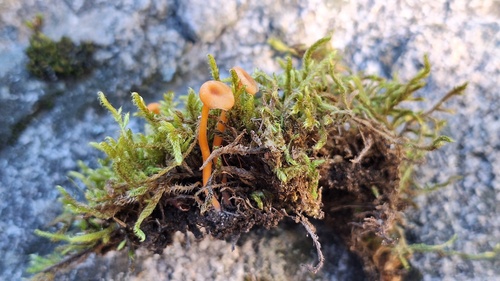
Orange Moss Navel
Rickenella fibula
Seen 2026-09-26
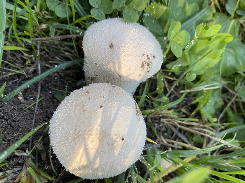
Meadow Puffball
Lycoperdon pratense
Seen 2026-09-26
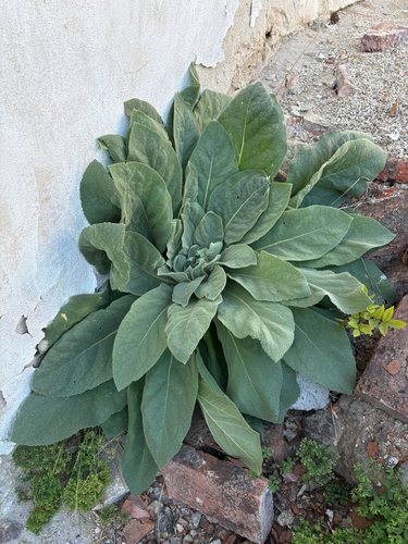
great mullein
Verbascum thapsus
Seen 2026-09-26
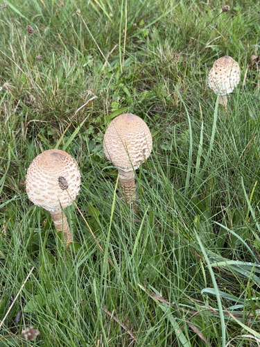
Parasol
Macrolepiota procera
Seen 2026-09-24
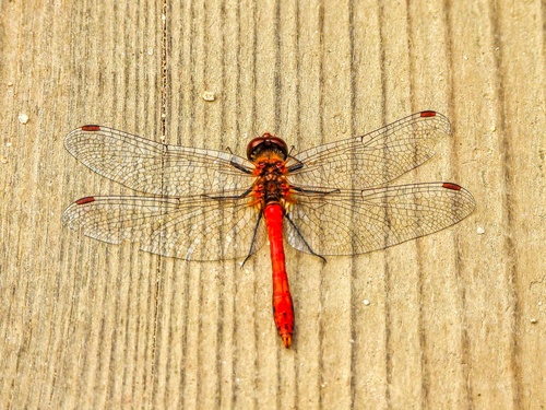
Ruddy Darter
Sympetrum sanguineum
Seen 2026-09-20
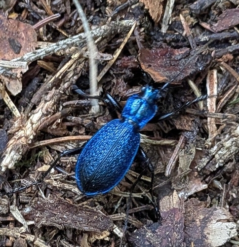
Blue Ground Beetle
Carabus intricatus
Seen 2026-09-20
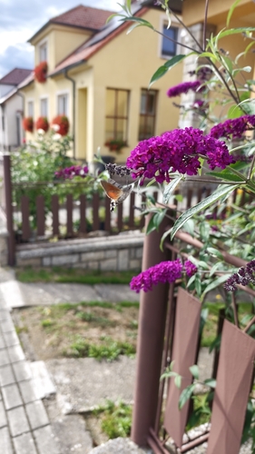
Eurasian Hummingbird Hawkmoth
Macroglossum stellatarum
Seen 2026-09-18
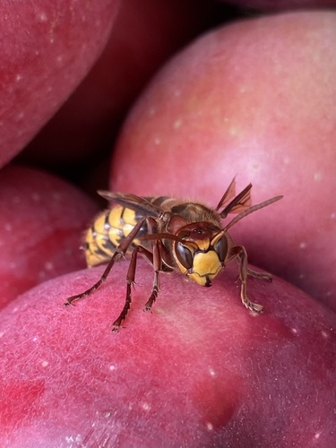
European Hornet
Vespa crabro
Seen 2026-09-16
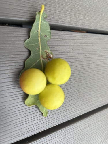
Cherry Gall Wasp
Cynips quercusfolii
Seen 2026-09-16
Research-grade observations from iNaturalist (within ~15 mi).
Events
Gallery
Official Identifiers
ČSÚ — Czech Statistical Office
- RÚIAN code
- CZ587001
- Population (Wikidata)
- 125
- Wikidata
- Q2443029
RÚIAN obec ID via Wikidata P782
Sources
- • Wikipedia
- • Wikidata
- • iNaturalist
- • Open-Meteo / sunrise-sunset.org
- • Wikipedia Pageviews API
- • ČSÚ — Czech Statistical Office — RÚIAN obec ID via Wikidata P782