Browse / Czechia / Plzeň / Černošín
Černošín
Plzeňtown

Černošín
Total population
1,161
Demographic figures from Czech Statistical Office. Overview below cites Wikipedia and may reference a different year.
City facts
Facts from Wikidata (CC0).
Overview
Černošín is a town in Tachov District in the Plzeň Region of the Czech Republic. It has about 1,200 inhabitants. The town is located on the stream Černošínský potok in the Plasy Uplands. The main landmark of Černošín is the Church of Saint George.
Read more on WikipediaHistory & geography
History
The first written mention of Černošín is from 1155, but this document has not been preserved. The next mention of Černošín is from 1290. From the 14th to the 17th century, it was owned by the Schwamberg family. In 1541, Černošín was promoted to a town. After the town obtained various rights and privileges in 1551, it became an important trade and craft centre. The development was stopped by the Thirty Years' War, during which the town was heavily damaged and depopulated. In the middle of the 17th century, the town received new privileges and was resettled by German immigrants.
Geography
Černošín is located about east of Tachov and west of Plzeň. It lies in the Plasy Uplands. The highest point is the hill Vlčí hora at above sea level. The stream Černošínský potok flows through the town proper. The Mže River flows along the southern municipal border. Its tributary, the stream Kosový potok, forms the western municipal border near Třebel and Záhoří, before it merges with the Mže just outside the territory of Černošín.
Excerpted from the corresponding Wikipedia article (CC BY-SA).
Geography
Coordinates & boundaries from the US Census TIGER/Line shapefiles.
Climate
Air quality
Walkability
Amenities nearby
Wildlife & biodiversity
Earthquake history
Photos
Sights & places nearby
Notable people from here


People born within ~10 km, from Wikidata (CC0). Click any name for their Wikipedia article.
Nearby places in Plzeň
- Lestkov4.6 mi away · pop. 260
- Čečkovice7.4 mi away · pop. 77
- Mladotice24.4 mi away · pop. 443
- Dolní Hradiště28.1 mi away · pop. 42
- Liblín30.2 mi away · pop. 301
- Vejvanov34.5 mi away · pop. 216
- Mešno34.8 mi away · pop. 87
- Myslovice36.2 mi away · pop. 107
- Lhota pod Radčem36.9 mi away · pop. 267
- Drahoňův Újezd37.7 mi away · pop. 144
- Nezdřev46.4 mi away · pop. 116
- Velký Bor48.1 mi away · pop. 324
Geography & sun
Elevation, sunrise/sunset and daylight from Open-Meteo. Solar climatology from NASA POWER.
Nearby airports
Public attention
Pageview totals from the Wikimedia Pageviews API.
Books about this place
Recent natural events nearby
Ground air-quality sensors
Recently spotted species
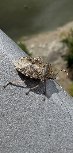
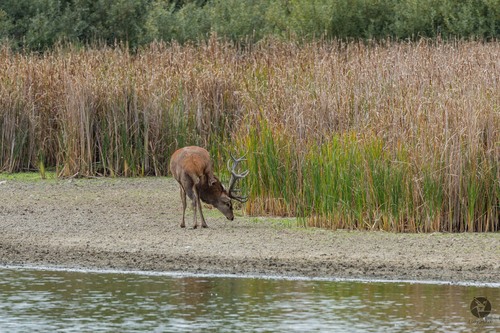
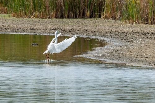
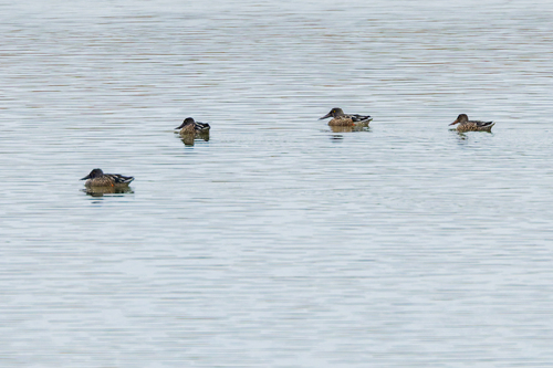
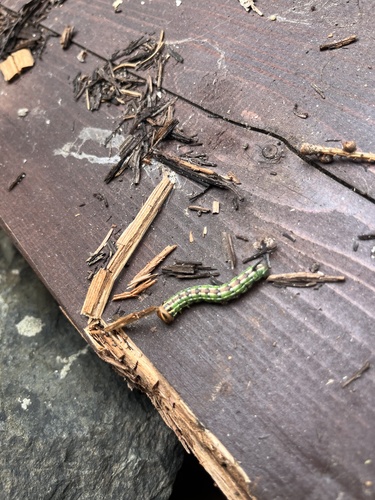
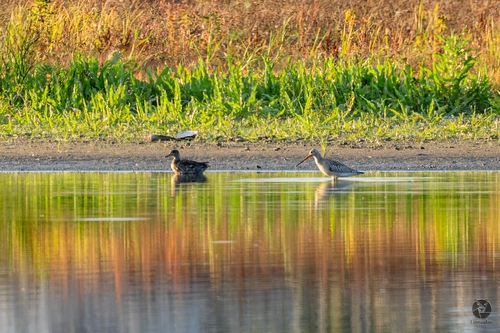
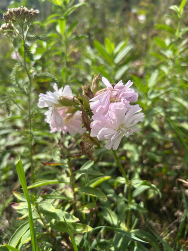
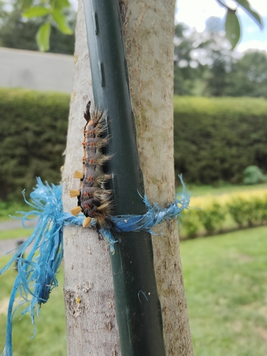
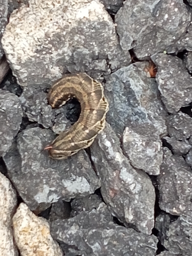
Research-grade observations from iNaturalist (within ~15 mi).
Events
Gallery
Official Identifiers
ČSÚ — Czech Statistical Office
- RÚIAN code
- CZ560812
- Population (Wikidata)
- 1,196
- Wikidata
- Q280020
RÚIAN obec ID via Wikidata P782
Sources
- • Wikipedia
- • Wikidata
- • iNaturalist
- • Open-Meteo / sunrise-sunset.org
- • Wikipedia Pageviews API
- • Wikidata SPARQL (CC0) — population, area, elevation, inception, head of government, Commons image
- • ČSÚ — Czech Statistical Office — RÚIAN obec ID via Wikidata P782