Browse / Czechia / Olomouc / Česká Ves
Česká Ves
Olomoucvillage

Česká Ves
Total population
2,485
Demographic figures from Czech Statistical Office. Overview below cites Wikipedia and may reference a different year.
City facts
Facts from Wikidata (CC0).
Overview
Česká Ves is a municipality and village in Jeseník District in the Olomouc Region of the Czech Republic. It has about 2,300 inhabitants.
Read more on WikipediaHistory & geography
History
The first written mention of Česká Ves is from 1416. A hamlet named Waltherowici, which was a predecessor of the current village, was documented in 1284. The 17th century was tragic for Česká Ves. The village was hit by the plague epidemic in 1627, looted during the Thirty Years' War, and was at the centre of the infamous Northern Moravia witch trials, during which 16 women were burned. The municipality was severely hit by the 1997 Central European flood.
Geography
Česká Ves is located north of Jeseník and is urbanistically fused with the town. It is located about north of Olomouc. The eastern part of the municipality lies in the Zlatohorská Highlands and the western part lies in the Golden Mountains. The highest point is the hill Studniční vrch at above sea level. The village is situated in the valley of the Bělá River. The municipality is partially located in the Jeseníky Protected Landscape Area.
Excerpted from the corresponding Wikipedia article (CC BY-SA).
Geography
Coordinates & boundaries from the US Census TIGER/Line shapefiles.
Climate
Air quality
Walkability
Amenities nearby
Wildlife & biodiversity
Earthquake history
Photos
Sights & places nearby
Notable people from here


People born within ~10 km, from Wikidata (CC0). Click any name for their Wikipedia article.
Nearby places in Olomouc
- Písečná1.6 mi away · pop. 896
- Studený Zejf1.8 mi away · pop. 148
- Široký Brod2.6 mi away · pop. 347
- Hradec-Nová Ves2.9 mi away · pop. 305
- Supíkovice3 mi away · pop. 671
- Dětřichov3.3 mi away · pop. 121
- Bukovice3.3 mi away · pop. 1,741
- Rejvíz4 mi away · pop. 66
- Nová Červená Voda4.1 mi away · pop. 243
- Mikulovice5 mi away · pop. 2,350
- Stará Červená Voda5.1 mi away · pop. 411
- Ondřejovice5.4 mi away · pop. 277
Geography & sun
Elevation, sunrise/sunset and daylight from Open-Meteo. Solar climatology from NASA POWER.
Nearby airports
Public attention
Pageview totals from the Wikimedia Pageviews API.
Books about Česká Ves

Search results from Open Library.
Recent natural events nearby
Ground air-quality sensors
Recently spotted species
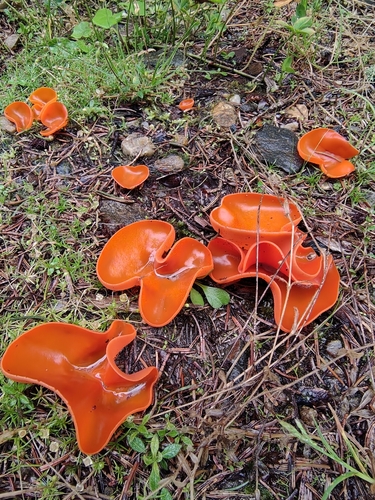
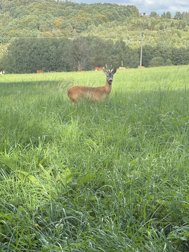
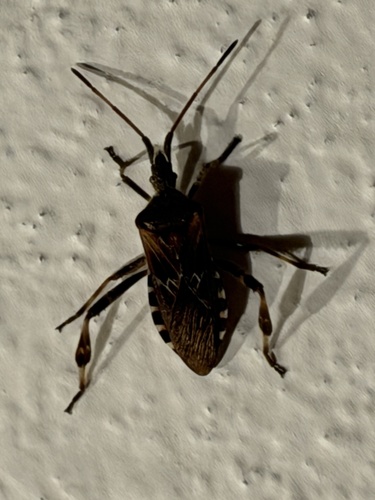
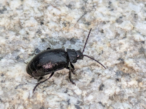
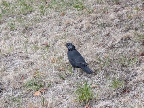
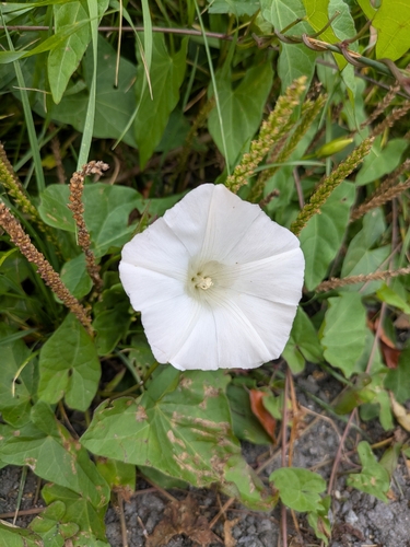
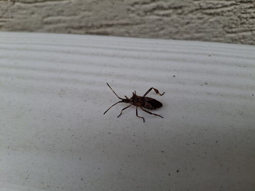
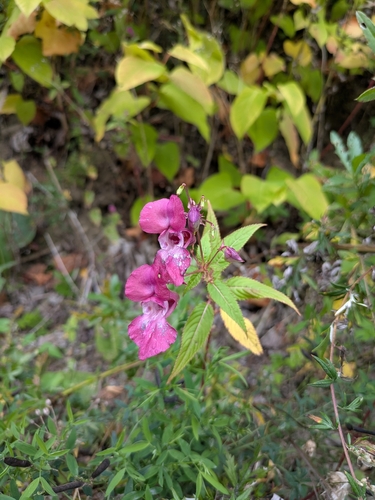
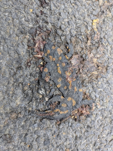
Research-grade observations from iNaturalist (within ~15 mi).
Events
Gallery
Official Identifiers
ČSÚ — Czech Statistical Office
- RÚIAN code
- CZ569356
- Population (Wikidata)
- 2,303
- Wikidata
- Q341077
RÚIAN obec ID via Wikidata P782
Sources
- • Wikipedia
- • Wikidata
- • iNaturalist
- • Open-Meteo / sunrise-sunset.org
- • Wikipedia Pageviews API
- • Open Library
- • Wikidata SPARQL (CC0) — population, area, elevation, inception, head of government, Commons image
- • ČSÚ — Czech Statistical Office — RÚIAN obec ID via Wikidata P782