Browse / Czechia / Ústí nad Labem / Chabařovice
Chabařovice
Ústí nad Labemvillage

Chabařovice
Total population
2,004
Demographic figures from Czech Statistical Office. Overview below cites Wikipedia and may reference a different year.
City facts
Facts from Wikidata (CC0).
Overview
Chabařovice is a town in Ústí nad Labem District in the Ústí nad Labem Region of the Czech Republic. It has about 2,600 inhabitants. The town is located on the stream Ždírnický potok in the Most Basin.
Read more on WikipediaHistory & geography
History
The first written mention of Chabařovice is in the list of parish churches of the Archdiocese of Prague from 1352, where the village was listed as a part of the Rýzmburk estate. During the Hussite Wars in 1426, the village was the battlefield of the Battle of Aussig between the Crusaders and the Hussites, which is considered the bloodiest battle of the Hussite Wars. In 1520, Chabařovice was mentioned as a town with the rights to brew beer and produce malt. Until World War II, ethnic Germans made up about two thirds of the town's population. After World War II, the German-speaking population was expelled. Coal was discovered around the town in 1774. Initially it helped the town's prosperity, but in the last quarter of the 20th century, the abolition of Chabařovice was planned for 1997 due to coal mining. In 1991, however, a government decision revoked this plan. In 1986, Chabařovice was annexed to Ústí nad Labem, but in 1990, it became again a separate town.
Geography
Chabařovice is located west of Ústí nad Labem, in its immediate vicinity. It lies in the eastern tip of the Most Basin. The municipal territory is rich in fishponds, supplied mostly by the stream Ždírnický potok. There is also half of the artificial Lake Milada in the territory of Chabařovice, which is a frequent tourist destination.
Excerpted from the corresponding Wikipedia article (CC BY-SA).
Geography
Coordinates & boundaries from the US Census TIGER/Line shapefiles.
Climate
Air quality
Walkability
Amenities nearby
Wildlife & biodiversity
Earthquake history
Photos
Sights & places nearby
Notable people from here
Nearby places in Ústí nad Labem
- Bžany6.4 mi away · pop. 167
- Mrzlice12.5 mi away · pop. 52
- Paillote1117 mi away
- Haouch Gaby1119.2 mi away
- Douar Nessasseha دوار نساسحة1120.9 mi away
- Haouch Ben Said1121.3 mi away
- Haouch Ain Maiza1125.5 mi away
- Haouch Ben Kouider1126.6 mi away
- Sidi Rached1126.8 mi away · pop. 11,062
- Tipaza1127 mi away · pop. 25,225
- Douar Adel masskifa1127.9 mi away
- 5 Martyrs1129 mi away
Geography & sun
Nearby airports
Public attention
Books about this place
Recent natural events nearby
Ground air-quality sensors
Recently spotted species
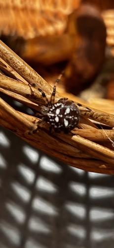
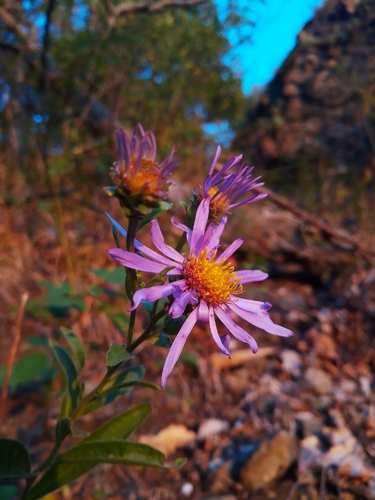
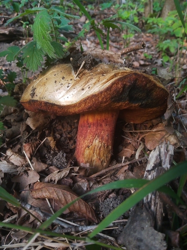
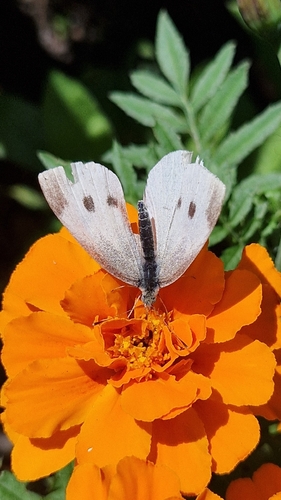
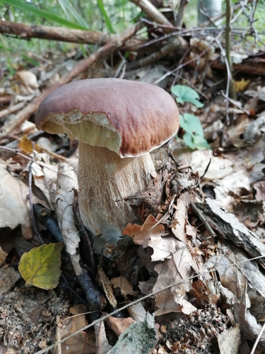
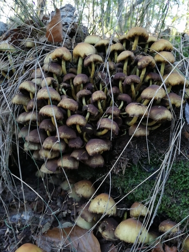
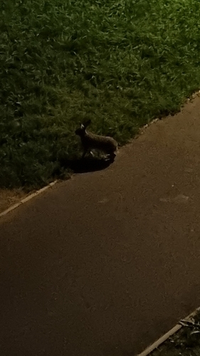
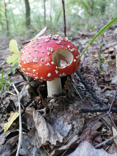
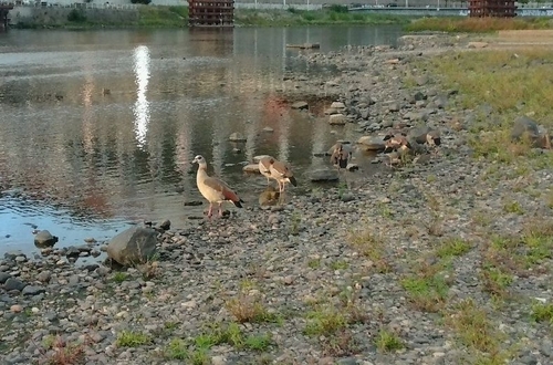
Research-grade observations from iNaturalist (within ~15 mi).
Events
Gallery
Official Identifiers
ČSÚ — Czech Statistical Office
- RÚIAN code
- CZ568007
- Population (Wikidata)
- 2,545
- Wikidata
- Q1019326
RÚIAN obec ID via Wikidata P782
Sources
- • Wikipedia
- • Wikidata
- • iNaturalist
- • Wikidata SPARQL (CC0) — population, area, elevation, inception, head of government, Commons image
- • ČSÚ — Czech Statistical Office — RÚIAN obec ID via Wikidata P782