Browse / Czechia / Hradec Králové / Chlumec nad Cidlinou
Chlumec nad Cidlinou
Hradec Královétown

Chlumec nad Cidlinou
Total population
4,779
Demographic figures from Czech Statistical Office. Overview below cites Wikipedia and may reference a different year.
City facts
Facts from Wikidata (CC0).
Overview
Chlumec nad Cidlinou is a town in Hradec Králové District in the Hradec Králové Region of the Czech Republic. It has about 5,600 inhabitants. The town is located at the confluence of the Cidlina and Bystřice rivers, in the East Elbe Table. The main landmark of Chlumec nad Cidlinou is the Karlova Koruna Chateau.
Read more on WikipediaHistory & geography
History
The first written mention of Chlumec is from 1235 in a deed of King Wenceslaus I. It was located on a trade route from Prague to Kłodzko Land. The village of Lučice, part of Chlumec nad Cidlinou, was first mentioned in 1110. The Sternberg family owned Chlumec until 1393. During the first half of the 15th century, it belonged to the lords of Bergov, who had built a water castle here. After it belonged to various nobles and changed owners several times, it was acquired by the Pernštejn family in 1521. During their rule, the estate grew significantly and prospered. The castle was fortified and the new Church of Saint Ursula was built. In these times Chlumec was promoted to a town. In 1547, the Chlumec estate was bought by the royal chamber. From 1611, Chlumec belonged to the Kinsky family. During the Thirty Years' War, the town was conquered and looted repeatedly. It was badly damaged and the castle was destroyed. After several fires, the castle was not renewed and new aristocratic residence was built – the Karlova Koruna Chateau. In the late 17th and early 18th centuries, the town recovered and crafts flourished. The town developed rapidly before World War I. Several public buildings were built, including the impressive Neo-Renaissance school.
Geography
Chlumec nad Cidlinou is located about west of Hradec Králové. It lies in a flat landscape in the East Elbe Table. The highest point is at above sea level. The town is situated at the confluence of the Cidlina and Bystřice rivers. There are several fishponds in the municipal territory, especially north of the town. The largest of them is Chlumecký rybník. The nearest neighbourhood is surrounded by gardens and after it the town is sometimes nicknamed "Town in gardens".
Excerpted from the corresponding Wikipedia article (CC BY-SA).
Geography
Coordinates & boundaries from the US Census TIGER/Line shapefiles.
Climate
Air quality
Walkability
Amenities nearby
Wildlife & biodiversity
Earthquake history
Photos
Sights & places nearby
Notable people from here
Nearby places in Hradec Králové
- Jivany25.8 mi away · pop. 88
- Piancaldoli451.7 mi away · pop. 143
- Marradi457.1 mi away · pop. 3,617
- Istia-Sigliola-Greta460.1 mi away · pop. 93
- Casanuova460.9 mi away · pop. 43
- Traversa461.3 mi away · pop. 160
- Montepiano464.9 mi away · pop. 599
- Luco Mugello466 mi away · pop. 1,114
- Pavana466.4 mi away · pop. 414
- Sasseta466.9 mi away · pop. 275
- Galliano467.1 mi away · pop. 1,122
- Gavigno467.6 mi away · pop. 5
Geography & sun
Elevation, sunrise/sunset and daylight from Open-Meteo. Solar climatology from NASA POWER.
Nearby airports
Public attention
Pageview totals from the Wikimedia Pageviews API.
Books about this place
Recent natural events nearby
Ground air-quality sensors
Recently spotted species
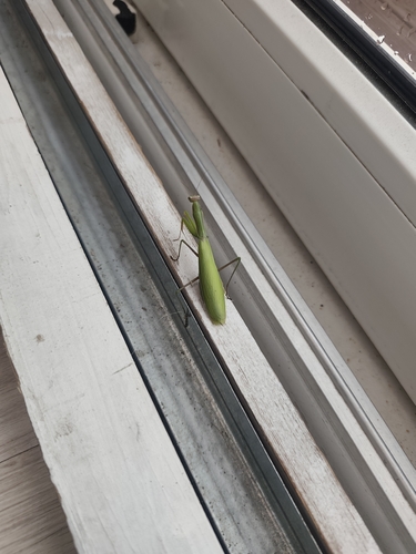

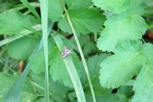
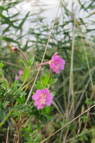
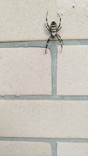
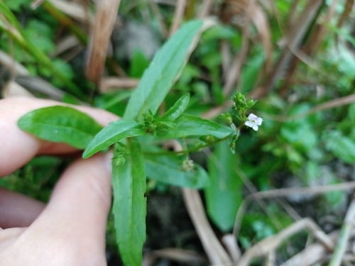
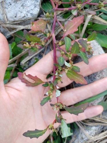
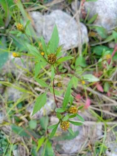
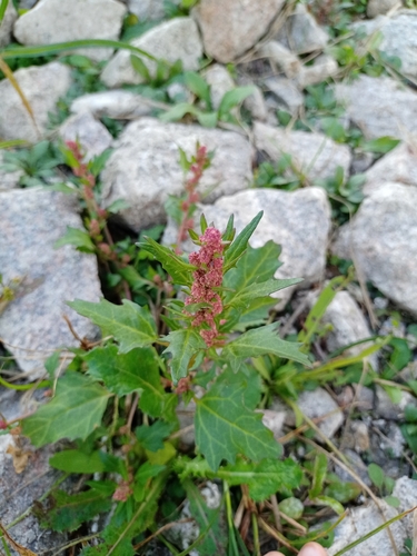
Research-grade observations from iNaturalist (within ~15 mi).
Events
Gallery
Official Identifiers
ČSÚ — Czech Statistical Office
- RÚIAN code
- CZ570109
- Population (Wikidata)
- 5,609
- Wikidata
- Q1013858
RÚIAN obec ID via Wikidata P782
Sources
- • Wikipedia
- • Wikidata
- • iNaturalist
- • Open-Meteo / sunrise-sunset.org
- • Wikipedia Pageviews API
- • ČSÚ — Czech Statistical Office — RÚIAN obec ID via Wikidata P782