Browse / Czechia / Plzeň / Chodová Planá
Chodová Planá
Plzeňvillage

Chodová Planá
Total population
1,990
Demographic figures from Czech Statistical Office. Overview below cites Wikipedia and may reference a different year.
City facts
Facts from Wikidata (CC0).
Overview
Chodová Planá is a market town in Tachov District in the Plzeň Region of the Czech Republic. It has about 2,000 inhabitants.
Read more on WikipediaHistory & geography
History
The first written mention of Chodová Planá is from 1319, when it was a property of the knights Ctibor and Oldřich. It was then owned by various knights, and in 1391 and 1413 it was documented as the property of the Teplá Abbey. Its owners often changed until 1560, when Chodová Planá was bought by the Širtingar (German: Schirnding) family. After the Battle of White Mountain in 1620, the properties of the Širtingar family were confiscated, and Chodová Planá was acquired by the counts of Haimhausen. The estate remained in their possession until the abolition of serfdom in 1848. In 1733, a huge fire destroyed half of the market town, including the church. Until 1938, Chodová Planá had a Jewish community. Its presence is documented by two remaining Jewish cemeteries.
Geography
Chodová Planá is located about northeast of Tachov and northwest of Plzeň. Most of the municipal territory lies in the Teplá Highlands, but the western part with the built-up area lies in the Podčeskoleská Hills. The highest point is at above sea level. The stream Kosový potok flows across the municipal territory. There are several fishponds in the vicinity of the market town. The largest of them is Regent, a pond used for sports and recreational purposes. The pond was founded in 1479.
Excerpted from the corresponding Wikipedia article (CC BY-SA).
Geography
Coordinates & boundaries from the US Census TIGER/Line shapefiles.
Climate
Air quality
Walkability
Amenities nearby
Wildlife & biodiversity
Earthquake history
Photos
Sights & places nearby
Notable people from here


People born within ~10 km, from Wikidata (CC0). Click any name for their Wikipedia article.
Nearby places in Plzeň
- Lestkov6.4 mi away · pop. 260
- Studánka9.7 mi away · pop. 387
- Dlouhý Újezd9.8 mi away · pop. 279
- Čečkovice11.5 mi away · pop. 77
- Semněvice22.3 mi away · pop. 109
- Kotovice24.4 mi away · pop. 150
- Křenovy27.8 mi away · pop. 150
- Mladotice28.9 mi away · pop. 443
- Dolní Hradiště34.1 mi away · pop. 42
- Liblín36.3 mi away · pop. 301
- Vejvanov41.2 mi away · pop. 216
- Mešno43.1 mi away · pop. 87
Geography & sun
Elevation, sunrise/sunset and daylight from Open-Meteo. Solar climatology from NASA POWER.
Nearby airports
Public attention
Pageview totals from the Wikimedia Pageviews API.
Books about this place
Recent natural events nearby
Ground air-quality sensors
Recently spotted species
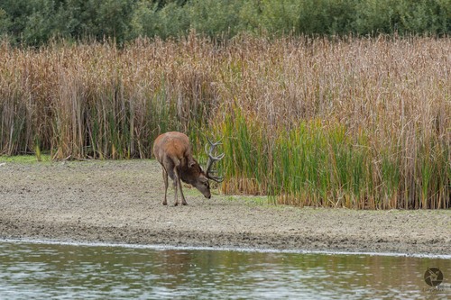
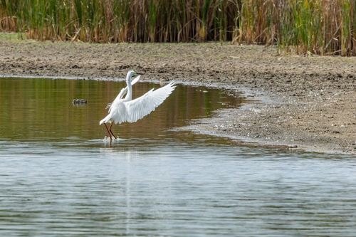
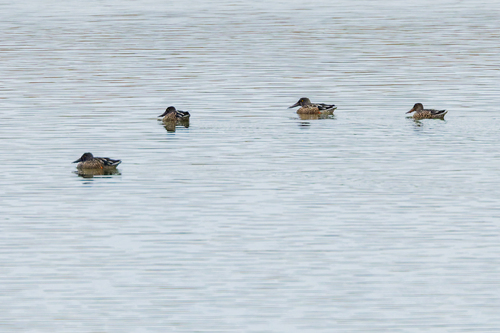
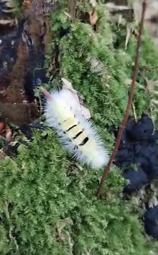
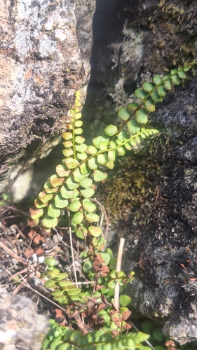
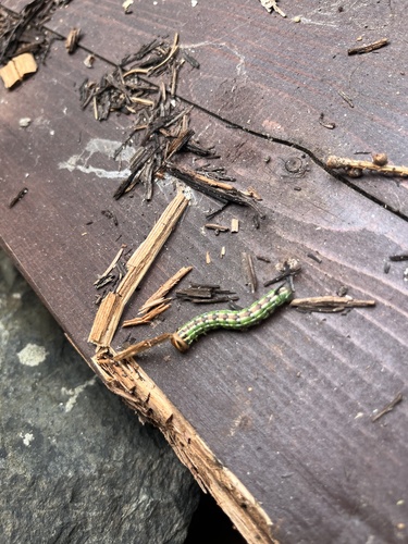
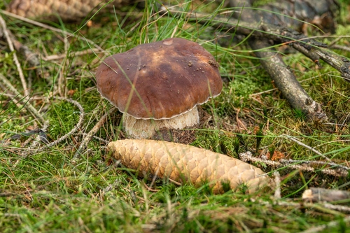
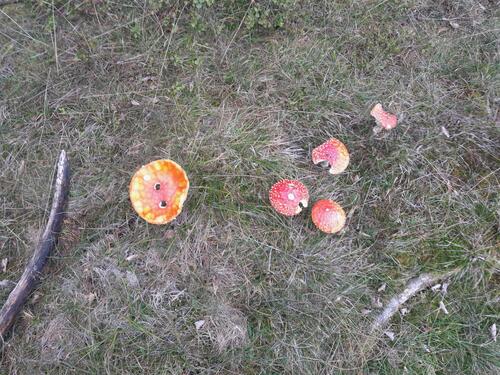
Research-grade observations from iNaturalist (within ~15 mi).
Events
Gallery
Official Identifiers
ČSÚ — Czech Statistical Office
- RÚIAN code
- CZ560901
- Population (Wikidata)
- 1,990
- Wikidata
- Q1075695
RÚIAN obec ID via Wikidata P782
Sources
- • Wikipedia
- • Wikidata
- • iNaturalist
- • Open-Meteo / sunrise-sunset.org
- • Wikipedia Pageviews API
- • Wikidata SPARQL (CC0) — population, area, elevation, inception, head of government, Commons image
- • ČSÚ — Czech Statistical Office — RÚIAN obec ID via Wikidata P782