Browse / Czechia / Liberec / Chrastava
Chrastava
Liberectown

Chrastava
Total population
4,894
Demographic figures from Czech Statistical Office. Overview below cites Wikipedia and may reference a different year.
City facts
Facts from Wikidata (CC0).
Overview
Chrastava is a town in Liberec District in the Liberec Region of the Czech Republic. It has about 6,300 inhabitants. Chrastava town is located at the confluence of the Lusatian Neisse and Jeřice rivers and is known as an industrial town.
Read more on WikipediaHistory & geography
History
The first written mention of Chrastava is from 1352 as Cratzauia, already referred to as quite big settlement. It was founded probably at the end of the 13th century by German settlers, having been invited by King Ottokar II. They came mainly from the town of Pirna in Saxony and began to mine metals in the vicinity of Chrastava, in particularly copper, tin, lead, iron and silver. Chrastava, then known mostly by the German name Kratzau, was occupied by the Hussites who use the town as a base for expeditions into Lusatia during the Hussite Wars. In 1433, the local castle and the whole town was conquered and damaged. This caused general decline, departure of population and stagnation of trade, which lasted for several decades. As more women arrived from the evacuated Gross-Rosen subcamps, conditions at Kratzau worsened. Josef Mengele is known to have visited Kratzau three times between October 1944 and March 1945 to conduct a "selection"; after each of these visits the selected women were sent to a subcamp in Zittau. After the German population was expelled in 1945–1947, Chrastava was resettled mainly by Czechs.
Geography
Chrastava is located about northwest of Liberec. On the north, the municipal territory borders Germany. It lies mostly in the Eastern Upper Lusatia, but it also extends into the Jizera Mountains on the north and into the Ještěd–Kozákov Ridge on the south. The highest point is the hill Dlouhá hora at above sea level. The town is situated at the confluence of the Lusatian Neisse and Jeřice rivers.
Excerpted from the corresponding Wikipedia article (CC BY-SA).
Geography
Coordinates & boundaries from the US Census TIGER/Line shapefiles.
Climate
Air quality
Walkability
Amenities nearby
Wildlife & biodiversity
Earthquake history
Photos
Sights & places nearby
Notable people from here


People born within ~10 km, from Wikidata (CC0). Click any name for their Wikipedia article.
Nearby places in Liberec
- Horní Chrastava0.7 mi away · pop. 388
- Andělská Hora1.3 mi away · pop. 267
- Dolní Vítkov1.5 mi away · pop. 257
- Bedřichovka1.6 mi away · pop. 54
- Nová Ves1.7 mi away · pop. 556
- Růžek1.8 mi away · pop. 63
- Bílý Kostel nad Nisou2 mi away · pop. 742
- Machnín2.2 mi away · pop. 976
- Svárov2.4 mi away · pop. 56
- Horní Vítkov2.5 mi away · pop. 112
- Krásná Studánka3 mi away · pop. 676
- Stráž nad Nisou3.1 mi away · pop. 1,716
Geography & sun
Elevation, sunrise/sunset and daylight from Open-Meteo. Solar climatology from NASA POWER.
Nearby airports
Public attention
Pageview totals from the Wikimedia Pageviews API.
Books about this place
Recent natural events nearby
Ground air-quality sensors
Recently spotted species
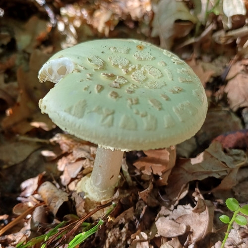
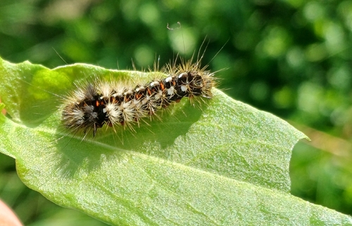
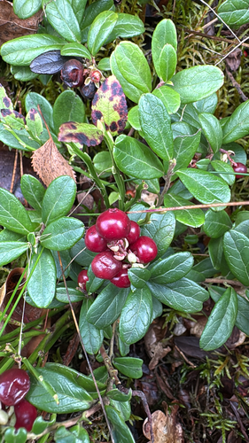
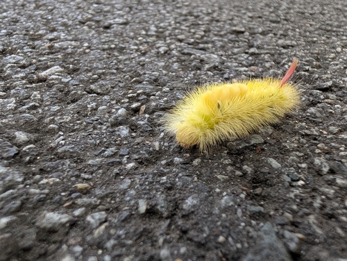
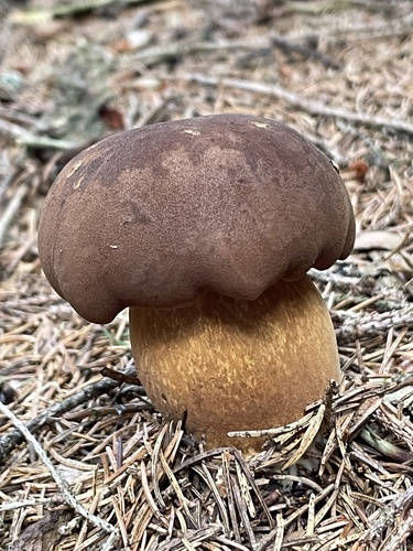
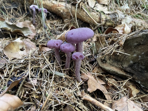
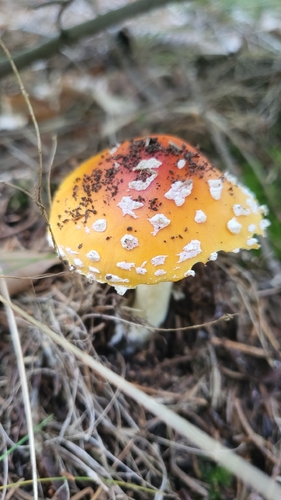
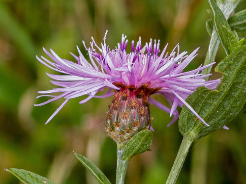
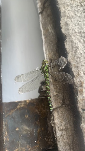
Research-grade observations from iNaturalist (within ~15 mi).
Events
Gallery
Official Identifiers
ČSÚ — Czech Statistical Office
- RÚIAN code
- CZ564117
- Population (Wikidata)
- 6,315
- Wikidata
- Q1013885
RÚIAN obec ID via Wikidata P782
Sources
- • Wikipedia
- • Wikidata
- • iNaturalist
- • Open-Elevation
- • Open-Meteo / sunrise-sunset.org
- • Wikipedia Pageviews API
- • Wikidata SPARQL (CC0) — population, area, elevation, inception, head of government, Commons image
- • ČSÚ — Czech Statistical Office — RÚIAN obec ID via Wikidata P782