Browse / Czechia / Pardubice / Chrudim
Chrudim
Pardubicetown

Chrudim
Total population
23,002
Demographic figures from Czech Statistical Office. Overview below cites Wikipedia and may reference a different year.
City facts
Facts from Wikidata (CC0).
Overview
Chrudim is a town in the Pardubice Region of the Czech Republic. It has about 24,000 inhabitants and is the second largest town of the region. It is situated on the Chrudimka River.
Read more on WikipediaHistory & geography
History
The oldest archaeological findings which provide first signs of the settlement in this area date back to the 5th millennium BC. Various cultures succeeded one on another in the territory of today's town of Chrudim and its vicinity. Since the 7th–8th century, the area is inhabited by Slavs. The first written mention of Chrudim is from 1055, when Duke Bretislav I died here according to Chronica Boemorum. The royal town of Chrudim was founded in 1276 by King Ottokar II for its location on a route from Prague to Moravia. From 1307, it became a dowry town, administered by Bohemian queens. Until 1918, the town was part of Austria-Hungary, head of the Chrudim District, one of the 94 Bezirkshauptmannschaften in Bohemia.
Geography
Chrudim is located about south of Pardubice. It lies mostly in the Svitavy Uplands. The highest point is the hill Podhůra at above sea level. This hill is situated in the southern tip of the municipal territory, which extends into the Iron Mountains and the eponymous protected landscape area. The Chrudimka River flows through the town.
Excerpted from the corresponding Wikipedia article (CC BY-SA).
Geography
Coordinates & boundaries from the US Census TIGER/Line shapefiles.
Climate
10-year averages from ERA5 reanalysis (Open-Meteo).
Air quality
Walkability
Amenities nearby
Wildlife & biodiversity
Earthquake history
Photos
Sights & places nearby
Notable people from here
Nearby places in Pardubice
- Vestec1.4 mi away · pop. 144
- Vrcha1.5 mi away · pop. 212
- Kozojedy1.7 mi away · pop. 51
- Markovice1.7 mi away · pop. 739
- Sobětuchy2 mi away · pop. 327
- Topol2.1 mi away · pop. 167
- Vlčnov2.1 mi away · pop. 117
- Medlešice2.2 mi away · pop. 504
- Rabštejnská Lhota2.7 mi away · pop. 431
- Třibřichy2.7 mi away · pop. 285
- Stolany2.7 mi away · pop. 372
- Tři Bubny2.8 mi away · pop. 6
Geography & sun
Elevation, sunrise/sunset and daylight from Open-Meteo. Solar climatology from NASA POWER.
Nearby airports
Public attention
Pageview totals from the Wikimedia Pageviews API.
Books about Chrudim
Search results from Open Library.
Recent natural events nearby
Ground air-quality sensors
Recently spotted species
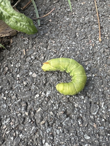
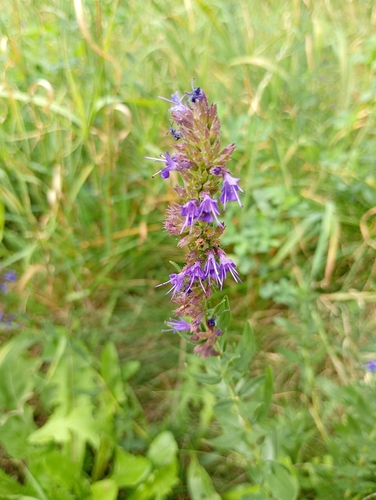
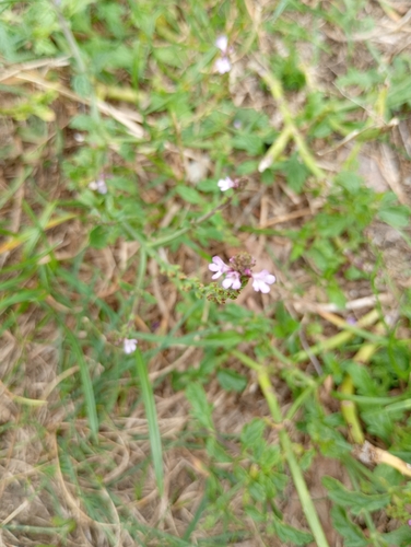
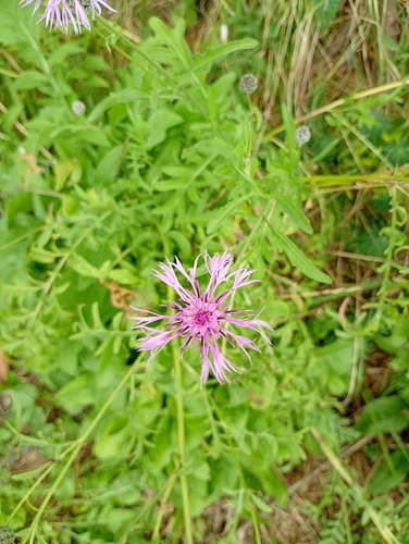
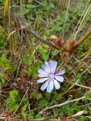
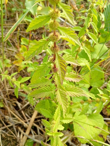
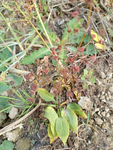
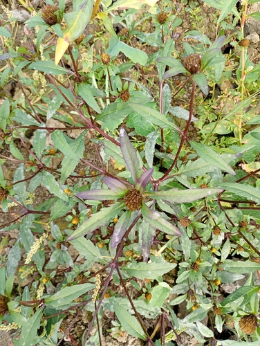
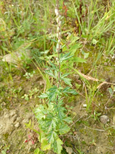
Research-grade observations from iNaturalist (within ~15 mi).
Events
Gallery
Official Identifiers
ČSÚ — Czech Statistical Office
- RÚIAN code
- CZ571164
- Population (Wikidata)
- 23,564
- Wikidata
- Q986070
RÚIAN obec ID via Wikidata P782
Sources
- • Wikipedia
- • Open-Meteo (ERA5 reanalysis)
- • Wikidata
- • iNaturalist
- • Open-Meteo / sunrise-sunset.org
- • Wikipedia Pageviews API
- • Open Library
- • Wikidata SPARQL (CC0) — population, area, elevation, inception, head of government, Commons image
- • ČSÚ — Czech Statistical Office — RÚIAN obec ID via Wikidata P782