Browse / Czechia / Olomouc / Dobromilice
Dobromilice
Olomoucvillage

Featured view
Dobromilice
Total population
815
Elevation218 m
Land area7.95 km²
Coordinates49.36°, 17.14°
Demographic figures from Czech Statistical Office. Overview below cites Wikipedia and may reference a different year.
Loading additional data from public sources…0 / 11
CensusWikipediaWeatherPlacesPeopleEnvironmentHealth & SchoolsRelatedGeography & CultureLive MonitoringEvents & Gallery
0% completeCity facts
Facts from Wikidata (CC0).
Overview
Dobromilice is a municipality and village in Prostějov District in the Olomouc Region of the Czech Republic. It has about 800 inhabitants.
Read more on WikipediaHistory & geography
Geography
Latitude
49.3573
Longitude
17.1386
Water area
—
Coordinates & boundaries from the US Census TIGER/Line shapefiles.
Climate
Air quality
Walkability
Amenities nearby
Wildlife & biodiversity
Earthquake history
Photos
Sights & places nearby
Notable people from here
Nearby places in Olomouc
- Doloplazy1.1 mi away · pop. 572
- Želeč2 mi away · pop. 558
- Dřevnovice2 mi away · pop. 490
- Těšice2.8 mi away · pop. 68
- Vřesovice3.1 mi away · pop. 407
- Mořice3.2 mi away · pop. 474
- Ondratice3.4 mi away · pop. 343
- Vranovice-Kelčice3.4 mi away · pop. 289
- Skalka3.5 mi away · pop. 252
- Sněhotice3.6 mi away · pop. 131
- Tištín3.7 mi away · pop. 522
- Tvorovice3.9 mi away · pop. 300
Geography & sun
Avg solar (kWh/m²/day)
3.11
Annual solar (kWh/m²)
1,136
Elevation, sunrise/sunset and daylight from Open-Meteo. Solar climatology from NASA POWER.
Nearby airports
Public attention
Wikipedia views (last 30 days)
17
Avg daily Wikipedia views
1
Attention level
Obscure
Pageview totals from the Wikimedia Pageviews API.
Books about this place
Recent natural events nearby
Ground air-quality sensors
Recently spotted species
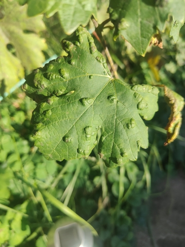
Grape Erineum Mite
Colomerus vitis
Seen 2026-09-26
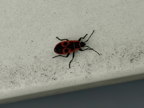
European Firebug
Pyrrhocoris apterus
Seen 2026-09-25
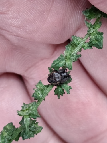
Walnut Orbweaver
Nuctenea umbratica
Seen 2026-09-25
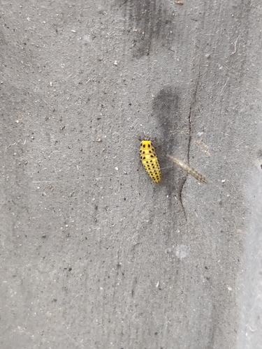
22-spot Ladybird
Psyllobora vigintiduopunctata
Seen 2026-09-25
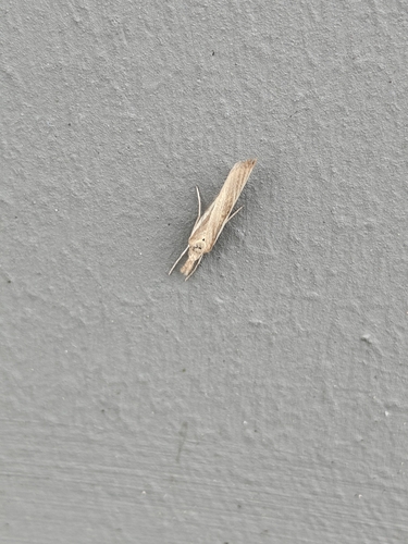
Common Grass-veneer
Agriphila tristella
Seen 2026-09-25
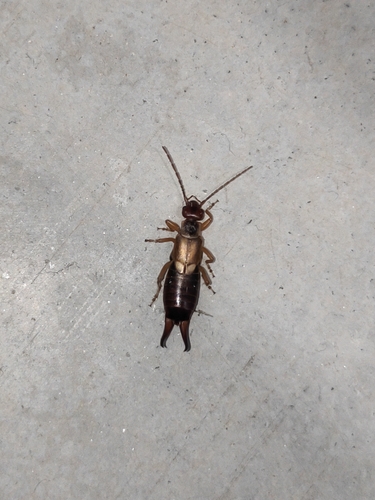
European Earwig
Forficula auricularia
Seen 2026-09-24
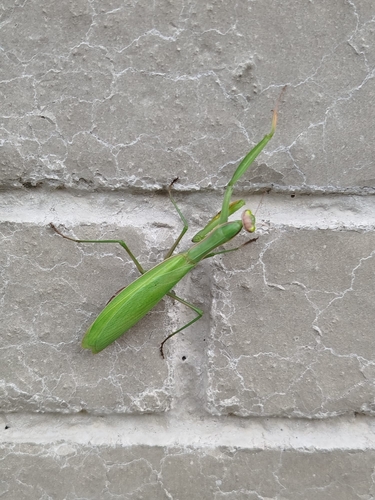
European Mantis
Mantis religiosa
Seen 2026-09-24
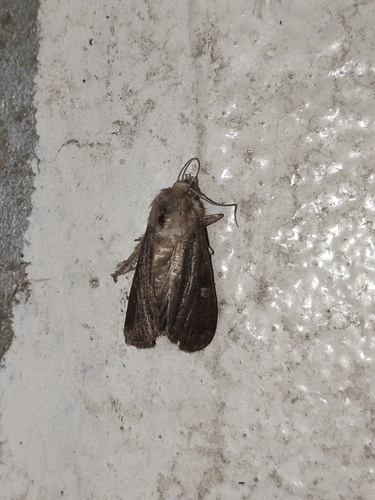
Square-spot Rustic
Xestia xanthographa
Seen 2026-09-23
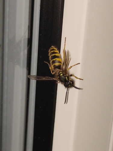
Common European Yellowjacket
Vespula vulgaris
Seen 2026-09-23
Research-grade observations from iNaturalist (within ~15 mi).
Events
Gallery
Official Identifiers
ČSÚ — Czech Statistical Office
- RÚIAN code
- CZ589446
- Population (Wikidata)
- 797
- Wikidata
- Q2000128
RÚIAN obec ID via Wikidata P782
Sources
- • Wikipedia
- • Wikidata
- • iNaturalist
- • Open-Meteo / sunrise-sunset.org
- • Wikipedia Pageviews API
- • ČSÚ — Czech Statistical Office — RÚIAN obec ID via Wikidata P782