Browse / Czechia / Olomouc / Dolní Studénky
Dolní Studénky
Olomoucvillage

Dolní Studénky
Total population
920
Demographic figures from Czech Statistical Office. Overview below cites Wikipedia and may reference a different year.
City facts
Facts from Wikidata (CC0).
Overview
Dolní Studénky is a municipality and village in Šumperk District in the Olomouc Region of the Czech Republic. It has about 1,400 inhabitants.
Read more on WikipediaHistory & geography
History
The first written mention of Dolní Studénky is from 1353, when it was owned by Jan of Kravaře. The history of the village is connected with the village of Třemešek (today a small hamlet within Králec) where the seat of the nobility was located. From 1437 to 1509, it was owned by the Tunkl of Brníčko family, who founded a system of fishponds here. Another notable owners were the Zierotin family, who held it in 1527–1559 and then again in 1653–1771. In 1559–1653, the estate was owned by the Bukůvka family, who had a Renaissance castle built in Třemešek. The German name of the village, Schönbrunn, was first documented in 1718. After World War II, the German-speaking population was expelled.
Geography
Dolní Studénky is located about south of Šumperk and northwest of Olomouc. It lies in the Hanušovice Highlands. The highest point is the hill Dražník at above sea level.
Excerpted from the corresponding Wikipedia article (CC BY-SA).
Geography
Coordinates & boundaries from the US Census TIGER/Line shapefiles.
Climate
Air quality
Walkability
Amenities nearby
Wildlife & biodiversity
Earthquake history
Photos
Sights & places nearby
Notable people from here


People born within ~10 km, from Wikidata (CC0). Click any name for their Wikipedia article.
Geography & sun
Elevation, sunrise/sunset and daylight from Open-Meteo. Solar climatology from NASA POWER.
Nearby airports
Public attention
Pageview totals from the Wikimedia Pageviews API.
Books about this place
Recent natural events nearby
Ground air-quality sensors
Recently spotted species
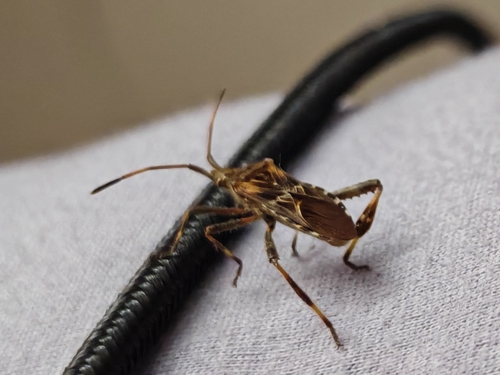
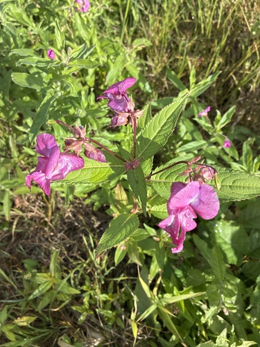
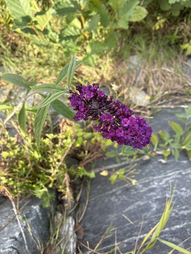
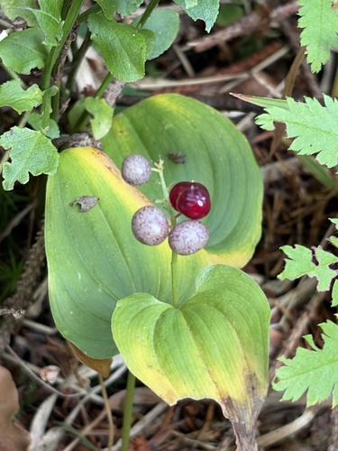
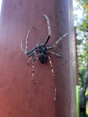
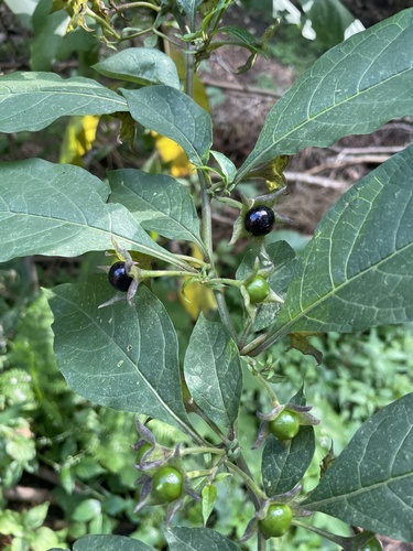
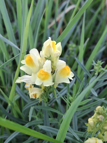
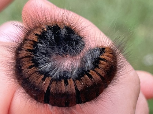
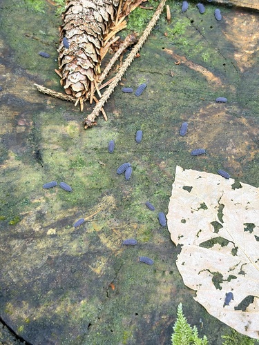
Research-grade observations from iNaturalist (within ~15 mi).
Events
Gallery
Official Identifiers
ČSÚ — Czech Statistical Office
- RÚIAN code
- CZ553379
- Population (Wikidata)
- 1,421
- Wikidata
- Q1236223
RÚIAN obec ID via Wikidata P782
Sources
- • Wikipedia
- • Wikidata
- • iNaturalist
- • Open-Meteo / sunrise-sunset.org
- • Wikipedia Pageviews API
- • ČSÚ — Czech Statistical Office — RÚIAN obec ID via Wikidata P782