Browse / Czechia / Karlovy Vary / Františkovy Lázně
Františkovy Lázně
Karlovy Varytown

Františkovy Lázně
Total population
4,155
Demographic figures from Czech Statistical Office. Overview below cites Wikipedia and may reference a different year.
City facts
Sister cities
Facts from Wikidata (CC0).
Overview
Františkovy Lázně is a spa town in Cheb District in the Karlovy Vary Region of the Czech Republic. It has about 5,600 inhabitants. The town is located in the Cheb Basin.
Read more on WikipediaHistory & geography
History
The salutary effects of the surrounding springs were known from the late 14th century on. The medical doctor Georgius Agricola (1494–1555) mentioned the mineral water available to Cheb citizens. The sources from which, according to ancient law, water was drafted and brought to the town, were first used locally for salutary purposes. Later, the water was also shipped in earthenware bottles, and in 1700, it reportedly sold more water than all other spas in the Empire combined. About 1705, an inn was erected at the site of a mineral spring later known as Franzensquelle. On 27 April 1793, the town was officially founded under the name Kaiser Franzensdorf, after Emperor Francis II, and later renamed Franzensbad. The spa was founded by Eger-based doctor Bernhard Adler (1753–1810). He promoted the expansion of spa facilities and the accommodation for those seeking healing and promoted the transformation of the swampy moorland with paths and footbridges to well-known sources. The town was laid out around 24 springs in an orthogonal plan. When in 1791 Adler had a pavilion and a water basin erected at the Franzensquelle, he sparked the Egerer Weibersturm ("Women's storm of Eger") by numerous women who earned their livelihood in the scooping, transport and sale of the water in Eger. Feeling their water-bearing rights threatened, they demolished his premises. The town council of Cheb intervened and made the extension of Franzensbad as a health resort possible. The result was an extensive recreation area, with easy access from the town of Cheb. In 1852, the spa became an independent municipality. Johann Wolfgang von Goethe was one of the most famous guests in the early days; his visits to Franzensbad were extensively reported in the book written by Johannes Urzidil Goethe in…
Geography
Františkovy Lázně is located about north of Cheb, in the historical Egerland region. It lies in the westernmost part of the Cheb Basin. The highest point is the hill Na Skále at above sea level. The stream Slatinný potok, a tributary of the Ohře, flows through the municipal territory. The area is rich in fishponds, the largest of which is Amerika. Its western part with an island is protected as a nature reserve and is an important nesting place and migration stop for water birds. The eastern part of the pond is used for recreation.
Excerpted from the corresponding Wikipedia article (CC BY-SA).
Geography
Coordinates & boundaries from the US Census TIGER/Line shapefiles.
Climate
Air quality
Walkability
Amenities nearby
Wildlife & biodiversity
Earthquake history
Photos
Sights & places nearby
Notable people from here


People born within ~10 km, from Wikidata (CC0). Click any name for their Wikipedia article.
Nearby places in Karlovy Vary
- Slapany6.5 mi away
- Citice12 mi away · pop. 713
- Boč36.4 mi away · pop. 76
- Ouled Driss975.2 mi away · pop. 11,303
- M'Zaret Boumendjel975.9 mi away
- Mechroha977.4 mi away · pop. 21,802
- Souk Ahras981.1 mi away · pop. 155,259
- Mechtat Dardoura982.6 mi away
- Tiffech989.1 mi away
- Ain Tamatmat989.8 mi away
- Ain el Garsa995 mi away
- Hadj Rabah995.6 mi away
Geography & sun
Elevation, sunrise/sunset and daylight from Open-Meteo. Solar climatology from NASA POWER.
Nearby airports
Public attention
Pageview totals from the Wikimedia Pageviews API.
Books about Františkovy Lázně
Search results from Open Library.
Recent natural events nearby
Ground air-quality sensors
Recently spotted species
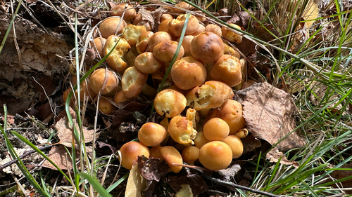
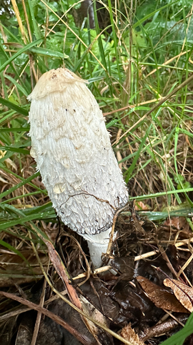
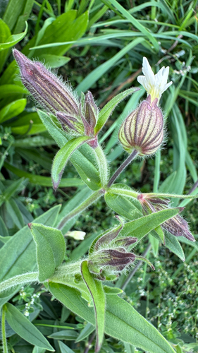
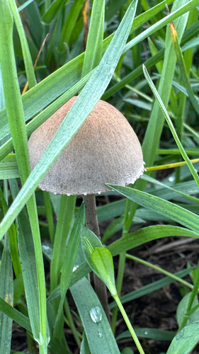
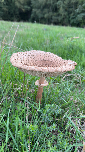
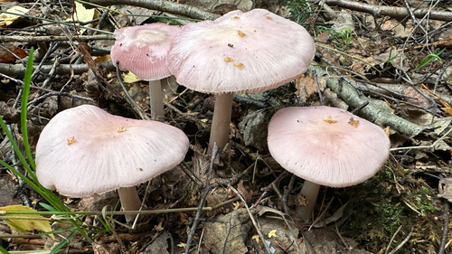
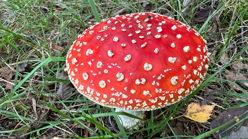
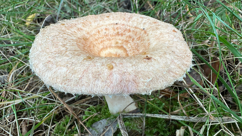
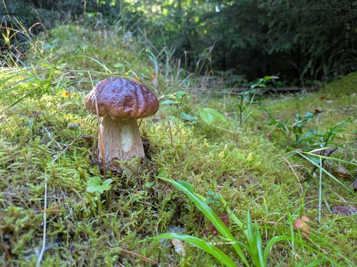
Research-grade observations from iNaturalist (within ~15 mi).
Events
Gallery
Official Identifiers
ČSÚ — Czech Statistical Office
- RÚIAN code
- CZ554529
- Population (Wikidata)
- 5,607
- Wikidata
- Q756581
RÚIAN obec ID via Wikidata P782
Sources
- • Wikipedia
- • Wikidata
- • iNaturalist
- • Open-Meteo / sunrise-sunset.org
- • Wikipedia Pageviews API
- • Open Library
- • Wikidata SPARQL (CC0) — population, area, elevation, inception, head of government, Commons image
- • ČSÚ — Czech Statistical Office — RÚIAN obec ID via Wikidata P782