Browse / Czechia / Plzeň / Hartmanice
Hartmanice
Plzeňtown

Hartmanice
Total population
929
Demographic figures from Czech Statistical Office. Overview below cites Wikipedia and may reference a different year.
City facts
Facts from Wikidata (CC0).
Overview
Hartmanice is a town in Klatovy District in the Plzeň Region of the Czech Republic. It has about 900 inhabitants.
Read more on WikipediaHistory & geography
History
The first written mention of Hartmanice is from 1315. Thanks to gold mining in the area, the settlement grew rapidly. From 1603 until the establishment of a sovereign municipality in 1848, it was a property of the town of Sušice. In 1607, Hartmanice was promoted to a market town. Until the Thirty Years' War, the population was predominantly Czech, but during the war the market town and the gold mines were abandoned. After the war, Hartmanice was resettled by Germans. In 1938, the area was annexed by Nazi Germany. After World War II, the German-speaking population was expelled and new settlers came from Volhynia and Slovakia. A military training area was established next to Hartmanice in 1952, which slowed down its development. The military area was abolished in 1991. In 1992, Hartmanice obtained the town status.
Geography
Hartmanice is located about southeast of Klatovy and south of Plzeň. It lies on the border between the Bohemian Forest Foothills and Bohemian Forest mountain range. The highest point is the mountain Křemelná at above sea level. The southern part of the municipal territory lies in the Šumava National Park. The territory of Hartmanice is rich in watercourses. The Otava River is formed by the confluence of the Vydra and Křemelná rivers, located in the southeastern tip of the municipal territory, and then briefly flows along the eastern municipal border. The upper course of the Ostružná River crosses the western part of the municipal territory. The Volšovka Stream originates here and then flows across the territory from west to northeast.
Excerpted from the corresponding Wikipedia article (CC BY-SA).
Geography
Coordinates & boundaries from the US Census TIGER/Line shapefiles.
Climate
Air quality
Walkability
Amenities nearby
Wildlife & biodiversity
Earthquake history
Photos
Sights & places nearby
Notable people from here


People born within ~10 km, from Wikidata (CC0). Click any name for their Wikipedia article.
Geography & sun
Elevation, sunrise/sunset and daylight from Open-Meteo. Solar climatology from NASA POWER.
Nearby airports
Public attention
Pageview totals from the Wikimedia Pageviews API.
Books about this place
Recent natural events nearby
Ground air-quality sensors
Recently spotted species
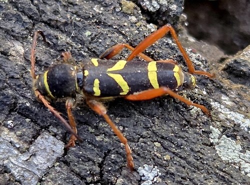
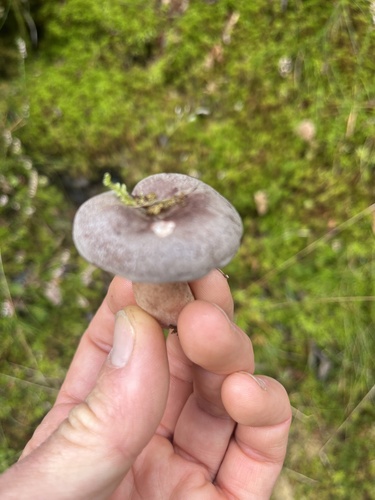
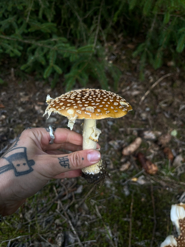
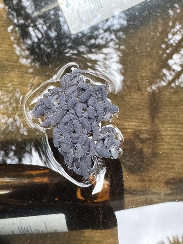
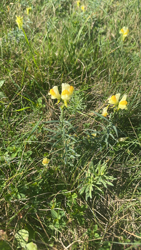
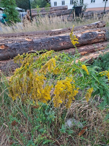
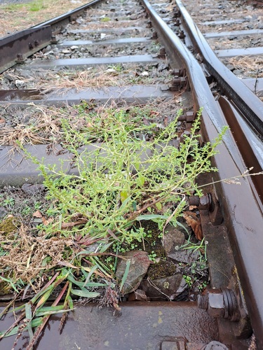
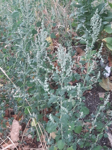
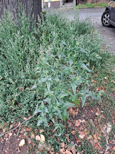
Research-grade observations from iNaturalist (within ~15 mi).
Events
Gallery
Sources
- • Wikipedia
- • Wikidata
- • iNaturalist
- • Open-Meteo / sunrise-sunset.org
- • Wikipedia Pageviews API