Browse / Czechia / Moravian-Silesian / Hnojník
Hnojník
Moravian-Silesianvillage

Hnojník
Total population
1,446
Demographic figures from Czech Statistical Office. Overview below cites Wikipedia and may reference a different year.
City facts
Facts from Wikidata (CC0).
Overview
Hnojník is a municipality and village in Frýdek-Místek District in the Moravian-Silesian Region of the Czech Republic. It has about 1,500 inhabitants. The municipality has a significant Polish minority.
Read more on WikipediaHistory & geography
History
The village was probably founded by Slavs at the end of the 12th century. The first written mention of Hnojník is in a Latin document of Diocese of Wrocław called Liber fundationis episcopatus Vratislaviensis from around 1305 as Gnoynik. Politically Hnojník belonged initially to the Duchy of Teschen, from 1327 a fee of the Kingdom of Bohemia. The village probably became a seat of a Catholic parish prior to the 16th century. After the 1540s, Protestant Reformation prevailed in the Duchy of Teschen and a local Catholic church was taken over by Lutherans. It was taken from them (as one from around fifty buildings) in the region by a special commission and given back to the Roman Catholic Church on 23 March 1654. Until 1483, Hnojník was owned by the princes of Tetschen. After 1483, it was owned by several noble families. In 1736, the village was bought by Karl Beess. Shortly after, he had built a one-storey Baroque castle. The Beess family was the last feudal owner of the Hnojník estate. After World War I, Polish–Czechoslovak War and the division of Cieszyn Silesia in 1920, the municipality became a part of Czechoslovakia. Following the Munich Agreement, in October 1938 together with the Trans-Olza region it was annexed by Poland, administratively adjoined to Cieszyn County of Silesian Voivodeship. It was then annexed by Nazi Germany at the beginning of World War II. After the war it was restored to Czechoslovakia. The Beess family property was confiscated in November 1945 according to the Beneš decrees. In 1946, the German-speaking population, including the Beess family, was expelled.
Geography
Hnojník is located about east of Frýdek-Místek and southeast of Ostrava. It lies in the historical region of Cieszyn Silesia, in the Moravian-Silesian Foothills. The Stonávka River flows through the municipality.
Excerpted from the corresponding Wikipedia article (CC BY-SA).
Geography
Coordinates & boundaries from the US Census TIGER/Line shapefiles.
Climate
Air quality
Walkability
Amenities nearby
Wildlife & biodiversity
Earthquake history
Photos
Sights & places nearby
Notable people from here
Nearby places in Moravian-Silesian
- Střítež1.3 mi away · pop. 996
- Horní Tošanovice1.7 mi away · pop. 490
- Komorní Lhotka1.8 mi away · pop. 1,097
- Vělopolí1.8 mi away · pop. 206
- Smilovice2 mi away · pop. 581
- Třanovice2.2 mi away · pop. 932
- Ropice Za lesem2.2 mi away
- Dolní Tošanovice2.4 mi away · pop. 428
- Horní Žukov2.7 mi away · pop. 694
- Dobratice2.7 mi away · pop. 1,036
- Řeka3.2 mi away · pop. 466
- Vojkovice3.3 mi away · pop. 495
Geography & sun
Elevation, sunrise/sunset and daylight from Open-Meteo. Solar climatology from NASA POWER.
Nearby airports
Public attention
Pageview totals from the Wikimedia Pageviews API.
Books about this place
Recent natural events nearby
Ground air-quality sensors
Recently spotted species
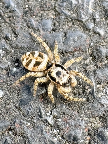
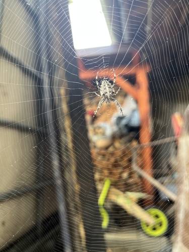
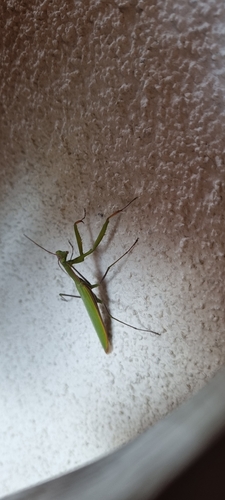
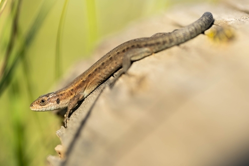
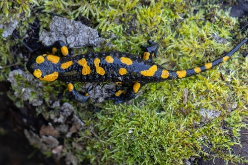
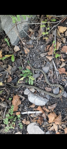


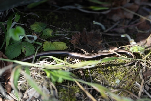
Research-grade observations from iNaturalist (within ~15 mi).
Events
Gallery
Official Identifiers
ČSÚ — Czech Statistical Office
- RÚIAN code
- CZ598160
- Population (Wikidata)
- 1,493
- Wikidata
- Q614426
RÚIAN obec ID via Wikidata P782
Sources
- • Wikipedia
- • Wikidata
- • iNaturalist
- • Open-Meteo / sunrise-sunset.org
- • Wikipedia Pageviews API
- • Wikidata SPARQL (CC0) — population, area, elevation, inception, head of government, Commons image
- • ČSÚ — Czech Statistical Office — RÚIAN obec ID via Wikidata P782