Browse / Czechia / South Moravian / Hodonín
Hodonín
South Moraviantown

Hodonín
Total population
27,361
Demographic figures from Czech Statistical Office. Overview below cites Wikipedia and may reference a different year.
City facts
Overview
Hodonín is a town in the South Moravian Region of the Czech Republic. It has about 23,000 inhabitants. The town is located on the Morava River in the Lower Morava Valley, on the border with Slovakia.
Read more on WikipediaHistory & geography
History
The castle in Hodonín was founded sometime in the 11th century. However, the document from 1046 which was the oldest mention of the castle, is demonstrably a forgery. The first written credible mention of Hodonín is from 1169. In 1228, it became a town. During the Thirty Years' War the town was severely damaged and the population decreased. In the 18th century a local castle was rebuilt to a tobacco factory, whose production helped repopulate the town. The railway to Hodonín was built in 1841, and extended to Holíč in 1891. Hodonín was the first town in the Protectorate of Bohemia and Moravia to be liberated from Nazi Germany occupation at the end of World War II. The battle for the town that was part of the Bratislava–Brno offensive, began on 11 April 1945, after the Red Army captured the nearby Holíč. Soviet troops crossed the Morava River and advanced toward Hodonín, supported by fighter planes that had already bombed German defenses and retreating units in the area. After approximately 24 hours of fighting, Soviet forces overcame the German resistance, and by 8 p.m. on 12 April, the town was fully liberated. The northern part of the municipal territory (especially the locality of Pánov, a retirement home and the Hodonín Zoo) was severely damaged by the 2021 South Moravia tornado.
Geography
Hodonín is located about southeast of Brno, on the border with Slovakia. It lies in a flat landscape in the Lower Morava Valley. The town is situated on the right bank of the Morava River, which forms the Czech-Slovak border in this area. The western municipal boundary is formed by the Kyjovka River, which feeds here a system of eight fishponds.
Excerpted from the corresponding Wikipedia article (CC BY-SA).
Geography
Coordinates & boundaries from the US Census TIGER/Line shapefiles.
Climate
Air quality
Walkability
Amenities nearby
Wildlife & biodiversity
Earthquake history
Photos
Sights & places nearby
Notable people from here

People born within ~10 km, from Wikidata (CC0). Click any name for their Wikipedia article.
Nearby places in South Moravian
- Josefov5.3 mi away · pop. 376
- Mutěnice5.4 mi away · pop. 3,669
- Starý Poddvorov6.3 mi away · pop. 900
- Petrov7.2 mi away · pop. 1,382
- Týnec7.3 mi away · pop. 1,016
- Nový Poddvorov7.4 mi away · pop. 181
- Svatobořice8.9 mi away · pop. 1,922
- Čejkovice8.9 mi away · pop. 2,564
- Kostice10 mi away · pop. 1,838
- Kyjov10.6 mi away · pop. 11,774
- Terezín10.7 mi away · pop. 400
- Tvarožná Lhota10.8 mi away · pop. 851
Geography & sun
Elevation, sunrise/sunset and daylight from Open-Meteo. Solar climatology from NASA POWER.
Nearby airports
Public attention
Pageview totals from the Wikimedia Pageviews API.
Books about this place
Recent natural events nearby
Ground air-quality sensors
Recently spotted species
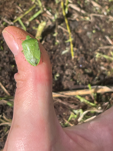
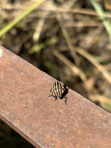
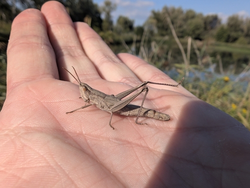

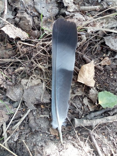
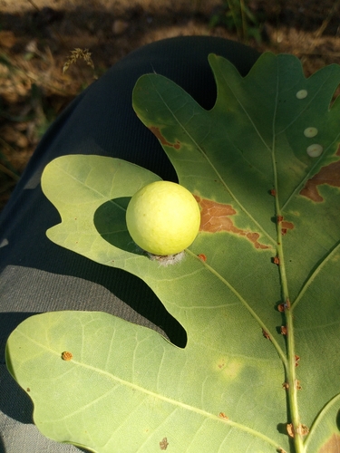
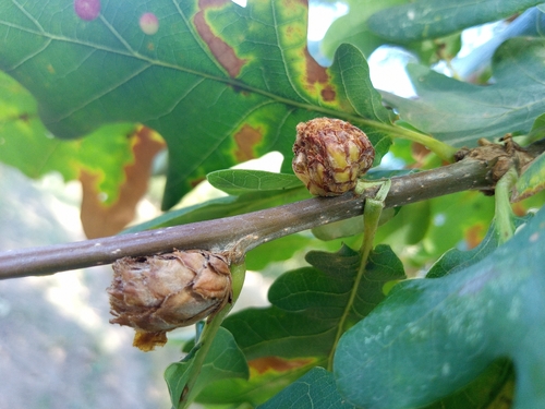
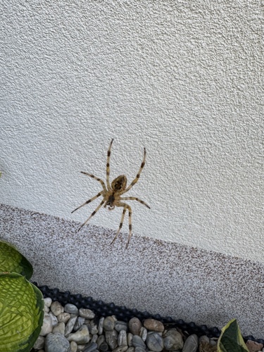
Research-grade observations from iNaturalist (within ~15 mi).
Events
Gallery
Sources
- • Wikipedia
- • Wikidata
- • iNaturalist
- • Open-Meteo / sunrise-sunset.org
- • Wikipedia Pageviews API