Browse / Czechia / Moravian-Silesian / Hodslavice
Hodslavice
Moravian-Silesianvillage

Featured view
Hodslavice
Total population
1,688
Elevation337 m
Land area10.85 km²
Coordinates49.54°, 18.02°
Demographic figures from Czech Statistical Office. Overview below cites Wikipedia and may reference a different year.
Loading additional data from public sources…0 / 11
CensusWikipediaWeatherPlacesPeopleEnvironmentHealth & SchoolsRelatedGeography & CultureLive MonitoringEvents & Gallery
0% completeCity facts
Facts from Wikidata (CC0).
Overview
Hodslavice is a municipality and village in Nový Jičín District in the Moravian-Silesian Region of the Czech Republic. It has about 1,700 inhabitants.
Read more on WikipediaHistory & geography
Geography
Latitude
49.5386
Longitude
18.0237
Water area
—
Coordinates & boundaries from the US Census TIGER/Line shapefiles.
Climate
Air quality
Walkability
Amenities nearby
Wildlife & biodiversity
Earthquake history
Photos
Sights & places nearby
Notable people from here
Nearby places in Moravian-Silesian
- Hostašovice1.2 mi away · pop. 688
- Straník1.5 mi away · pop. 468
- Mořkov1.6 mi away · pop. 2,326
- Kojetín2.4 mi away · pop. 160
- Bludovice2.4 mi away · pop. 359
- Petřkovice3.3 mi away · pop. 198
- Janovice3.6 mi away · pop. 243
- Loučka3.8 mi away · pop. 3,694
- Ženklava4.1 mi away · pop. 847
- Palačov4.7 mi away · pop. 216
- Šenov u Nového Jičína4.7 mi away · pop. 1,957
- Rybí4.9 mi away · pop. 1,062
Geography & sun
Avg solar (kWh/m²/day)
3.01
Annual solar (kWh/m²)
1,100
Elevation, sunrise/sunset and daylight from Open-Meteo. Solar climatology from NASA POWER.
Nearby airports
Public attention
Wikipedia views (last 30 days)
51
Avg daily Wikipedia views
2
Attention level
Obscure
Pageview totals from the Wikimedia Pageviews API.
Books about this place
Recent natural events nearby
Ground air-quality sensors
Recently spotted species
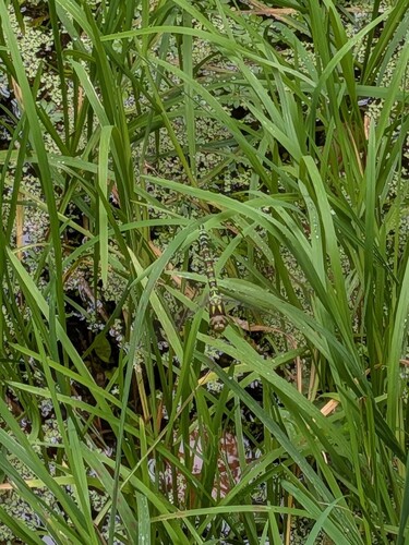
Southern Hawker
Aeshna cyanea
Seen 2026-09-23
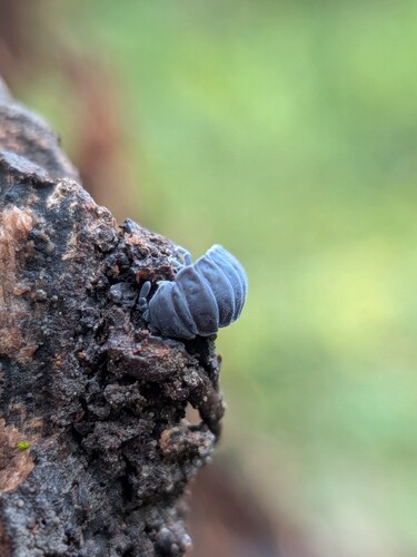
Tetrodontophora bielanensis
Tetrodontophora bielanensis
Seen 2026-09-23
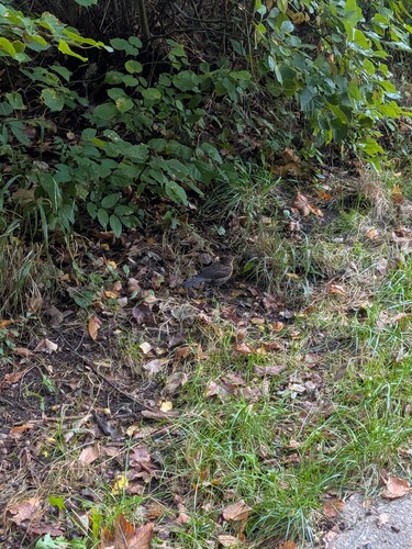
Eurasian Blackbird
Turdus merula
Seen 2026-09-23
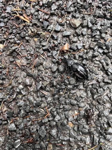
Leather Beetle
Carabus coriaceus
Seen 2026-09-22
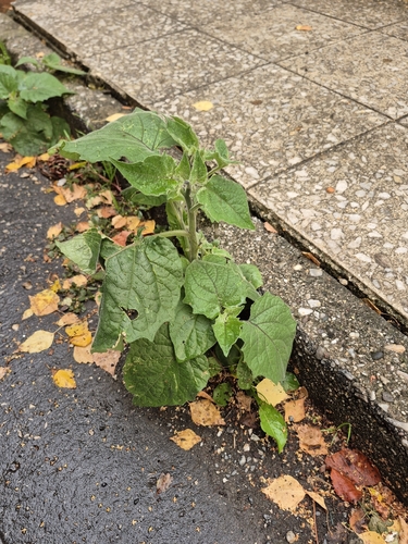
Cape gooseberry
Physalis peruviana
Seen 2026-09-21
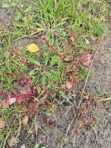
Many-seeded Goosefoot
Lipandra polysperma
Seen 2026-09-21
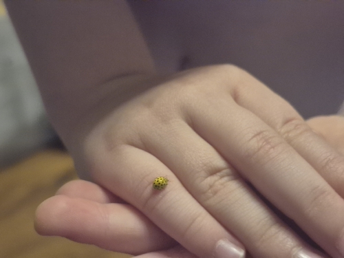
22-spot Ladybird
Psyllobora vigintiduopunctata
Seen 2026-09-21
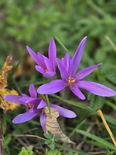
Autumn Crocus
Colchicum autumnale
Seen 2026-09-21
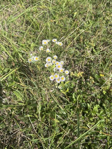
annual fleabane
Erigeron annuus
Seen 2026-09-21
Research-grade observations from iNaturalist (within ~15 mi).
Events
Gallery
Official Identifiers
ČSÚ — Czech Statistical Office
- RÚIAN code
- CZ599409
- Population (Wikidata)
- 1,692
- Wikidata
- Q1622760
RÚIAN obec ID via Wikidata P782
Sources
- • Wikipedia
- • Wikidata
- • iNaturalist
- • Open-Meteo / sunrise-sunset.org
- • Wikipedia Pageviews API
- • Wikidata SPARQL (CC0) — population, area, elevation, inception, head of government, Commons image
- • ČSÚ — Czech Statistical Office — RÚIAN obec ID via Wikidata P782