Browse / Czechia / Pardubice / Holice
Holice
Pardubicetown

Holice
Total population
4,550
Demographic figures from Czech Statistical Office. Overview below cites Wikipedia and may reference a different year.
City facts
Facts from Wikidata (CC0).
Overview
Holice is a town in Pardubice District in the Pardubice Region of the Czech Republic. It has about 6,800 inhabitants. The town is located on the stream Ředický potok in the East Elbe Table. It is known as the birthplace of the explorer of Africa Emil Holub and there is a museum dedicated to him.
Read more on WikipediaHistory & geography
History
The first written mention of Holice is from 1336, when it was property of John of Bohemia as a part of the Chvojno estate. The settlement was probably founded at the end of the 13th century. From the mid-14th century until the Hussite Wars, the village belonged to the Sternberg family. In the second half of the 15th century, Holice became a market town with a fortress and a church and became the centre of the estate. In 1481, Neptalim of Frimburk acquired Holice. During his rule, Holice prospered and acquired various privileges, including exemption from paying taxes, exemption from corvée and the right to brew beer. In 1507, Vilém II of Pernštejn became the owner of the town. From that time until the establishment of a sovereign municipality in 1849, Holice was part of the Pardubice estate. In 1641, during the Thirty Years' War, Holice acquired the right to build a salt warehouse on its territory, but two years later the town was burned down by the Swedish army. Holice was also hit by other fire disasters in 1679 and 1680. The town then prospered until 1758, when it was ravaged by the army of Prussian King Frederick the Great during the Seven Years' War. But after the war, the market town recovered and prospered again. At the end of the 19th century, the railway was built. At the beginning of the 20th century, the very first bus line, which ran from Pardubice to Holice, was launched. In 1931, Holice was promoted to a town.
Geography
Holice is located about east of Pardubice. It lies in a flat landscape in the East Elbe Table. The highest point is the hill Kamenec at above sea level. The stream Ředický potok flows through the town.
Excerpted from the corresponding Wikipedia article (CC BY-SA).
Geography
Coordinates & boundaries from the US Census TIGER/Line shapefiles.
Climate
Air quality
Walkability
Amenities nearby
Wildlife & biodiversity
Earthquake history
Photos
Sights & places nearby
Notable people from here


People born within ~10 km, from Wikidata (CC0). Click any name for their Wikipedia article.
Geography & sun
Elevation, sunrise/sunset and daylight from Open-Meteo. Solar climatology from NASA POWER.
Nearby airports
Public attention
Pageview totals from the Wikimedia Pageviews API.
Books about Holice
Search results from Open Library.
Recent natural events nearby
Ground air-quality sensors
Recently spotted species
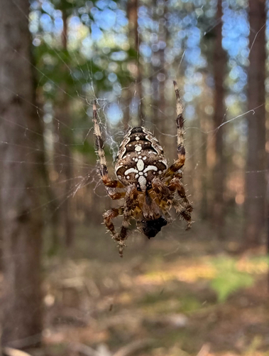
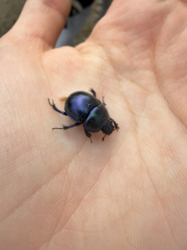
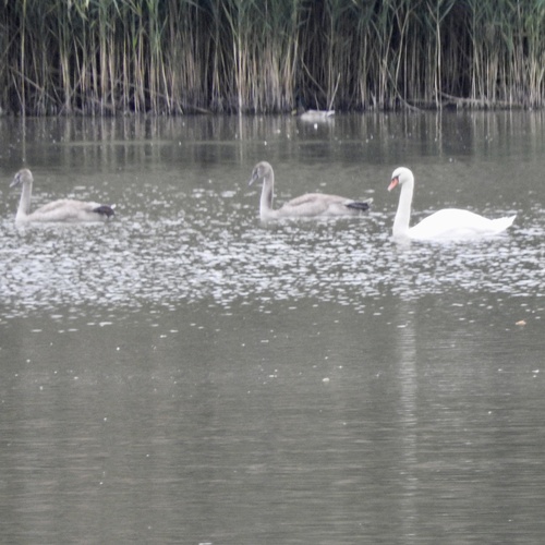
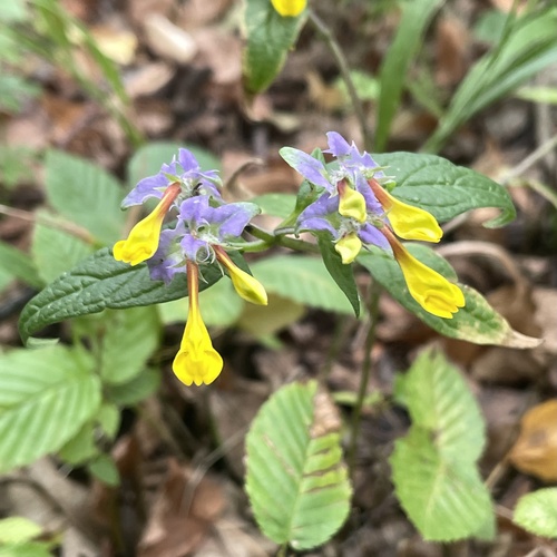
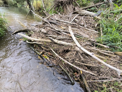
Research-grade observations from iNaturalist (within ~15 mi).
Events
Gallery
Official Identifiers
ČSÚ — Czech Statistical Office
- RÚIAN code
- CZ574988
- Population (Wikidata)
- 6,761
- Wikidata
- Q1624693
RÚIAN obec ID via Wikidata P782
Sources
- • Wikipedia
- • Wikidata
- • iNaturalist
- • Open-Meteo / sunrise-sunset.org
- • Wikipedia Pageviews API
- • Open Library
- • ČSÚ — Czech Statistical Office — RÚIAN obec ID via Wikidata P782