Browse / Czechia / South Bohemian / Horní Planá
Horní Planá
South Bohemiantown

Horní Planá
Total population
2,098
Demographic figures from Czech Statistical Office. Overview below cites Wikipedia and may reference a different year.
City facts
Facts from Wikidata (CC0).
Overview
Horní Planá is a town in Český Krumlov District in the South Bohemian Region of the Czech Republic. It has about 1,900 inhabitants.
Read more on WikipediaHistory & geography
History
Horní Planá was founded by monks from the Zlatá Koruna Monastery in the first half of the 14th century. In 1349, it was promoted to a market town by King Charles IV. During the Hussite Wars in 1420, it was incorporated into the Český Krumlov estate, then held by the Rosenberg family. The Rosenbergs insignia were adopted in the town's coat of arms. The good location on the trade route from Bohemia to Austria and later the construction of the Schwarzenberg Canal and the railway had a significant influence on the town's development. Until 1945, the local population predominantly consisted of ethnic Germans. In 1930, they made 98% of the population. In 1938, the town was annexed by Nazi Germany upon the 1938 Munich Agreement and incorporated into the Reichsgau Oberdonau. After World War II, it was restored to Czechoslovakia, while the remaining German-speaking population was expelled.
Geography
Horní Planá lies about southwest of Český Krumlov and southwest of České Budějovice. It lies on the border with Austria. Horní Planá is situated in the Bohemian Forest on the southeastern rim of the Šumava National Park, in the Šumava Protected Landscape Area. The highest point of Horní Planá and of the entire Český Krumlov District is a point on the top of the mountain Smrčina with an altitude of . Horní Planá is located on the northern shore of the Lipno Reservoir, south of the Boletice Military Training Area. Tajvan, the largest island of the reservoir, is located in the territory of Horní Planá. Beyond the Lipno Reservoir, a densely forested area with several abandoned villages stretches up to the Vltava–Danube drainage divide (part of the main European Watershed).
Excerpted from the corresponding Wikipedia article (CC BY-SA).
Geography
Coordinates & boundaries from the US Census TIGER/Line shapefiles.
Climate
Air quality
Walkability
Amenities nearby
Wildlife & biodiversity
Earthquake history
Photos
Sights & places nearby
Notable people from here


People born within ~10 km, from Wikidata (CC0). Click any name for their Wikipedia article.
Nearby places in South Bohemian
- Bližší Lhota1.2 mi away · pop. 57
- Karlovy Dvory1.5 mi away
- Hůrka2 mi away · pop. 152
- Hodňov2.2 mi away · pop. 79
- Láz4.4 mi away · pop. 53
- Polná na Šumavě5.7 mi away
- Posudov8.2 mi away
- Svatý Tomáš9.4 mi away
- Slavkov9.6 mi away · pop. 59
- Březovík10.8 mi away · pop. 56
- Přední Výtoň11.2 mi away · pop. 266
- Borová11.3 mi away · pop. 53
Geography & sun
Elevation, sunrise/sunset and daylight from Open-Meteo. Solar climatology from NASA POWER.
Nearby airports
Public attention
Pageview totals from the Wikimedia Pageviews API.
Books about this place
Recent natural events nearby
Ground air-quality sensors
Recently spotted species
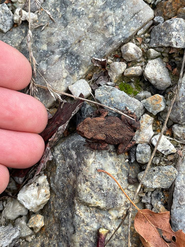
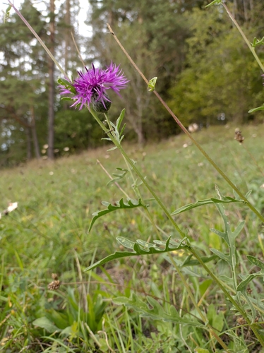
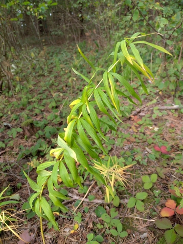
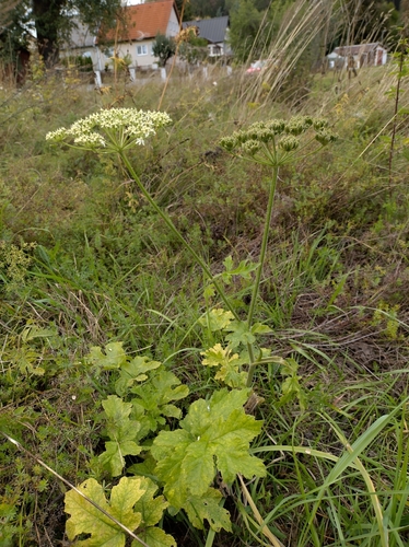
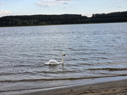
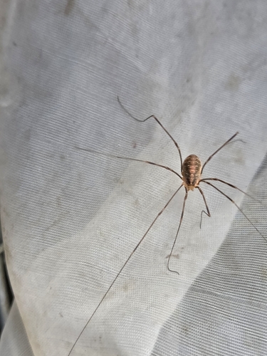
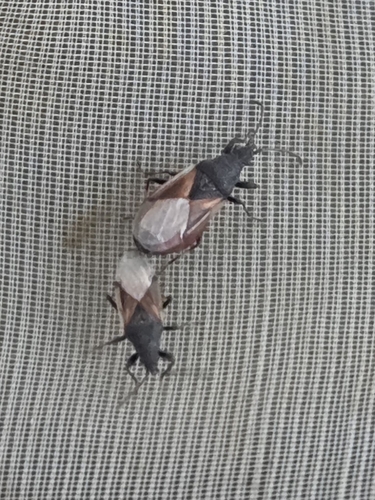
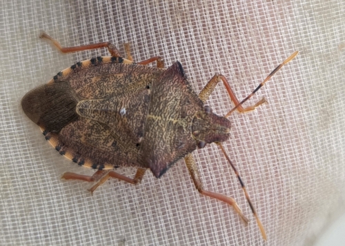
Research-grade observations from iNaturalist (within ~15 mi).
Events
Gallery
Official Identifiers
ČSÚ — Czech Statistical Office
- RÚIAN code
- CZ545511
- Population (Wikidata)
- 1,943
- Wikidata
- Q1628741
RÚIAN obec ID via Wikidata P782
Sources
- • Wikipedia
- • Wikidata
- • iNaturalist
- • Open-Meteo / sunrise-sunset.org
- • Wikipedia Pageviews API
- • Wikidata SPARQL (CC0) — population, area, elevation, inception, head of government, Commons image
- • ČSÚ — Czech Statistical Office — RÚIAN obec ID via Wikidata P782