Browse / Czechia / Hradec Králové / Hradec Králové
Hradec Králové
Hradec Královécity

Hradec Králové
Total population
90,596
Founded
1225
Demographic figures from Czech Statistical Office. Overview below cites Wikipedia and may reference a different year.
City facts
Sister cities
Facts from Wikidata (CC0).
Overview
Hradec Králové is a city in the Czech Republic. It has about 94,000 inhabitants and is the capital of the Hradec Králové Region. The city is situated in a flat landscape, at the confluence of the Elbe and Orlice rivers.
Read more on WikipediaHistory & geography
History
The first written mention of a castle named Hradec is in Chronica Boemorum written in 1119–1125, when the record of the castle is associated with the year 1091. The document from 1073 that mentioned Hradec is a forgery from the 12th century. The first written mention of the settlement of Hradec is from 1225 and it was already referred to as a city. In 1306, Hradec became a dowry town ruled by Bohemian queens. It was the residence of Elizabeth Richeza of Poland in 1308–1318 or Elizabeth of Pomerania in 1378–1393. In the 14th century, thanks to the presence of the queens, the city became a military and political centre of a region with a high level of education and culture. Extensive fires in 1290, 1339 and 1407 accelerated the reconstruction of the city. In 1420, during the Hussite Wars, the city was conquered by the Hussites and became their military centre. In 1423, the Hussites completely destroyed the castle where the queens used to live. During the rule of King George of Poděbrady, the city experienced a new period of economic, political and cultural prosperity. The development ended in 1547, when Hradec Králové joined the campaign against Emperor Ferdinand I, and as a result many of its properties were confiscated and its privileges were taken away. The city did not recover economically until the end of the 16th century. At this time, the houses were rebuilt in the Renaissance style. Hradec Králové was hit hard by the Thirty Years' War. It was conquered by the Swedish army in 1639 and several more times in the following years. At the end of the war, the city was depopulated and almost destroyed. However, the city recovered and in the 17th and early 18th century acquired a Baroque character. During the War of the Austrian Succession, the city was again involved…
Geography
Hradec Králové is located about east of Prague and forms an agglomeration with the city of Pardubice, which is located about south of Hradec Králové. It lies in the East Elbe Table, in the eastern part of the Polabí lowlands. The highest point is the hill Slatina at above sea level. The city is situated at the confluence of the Elbe and Orlice rivers. The municipal territory is rich in small fishponds. Hradec Králové has a humid continental climate (Köppen: Dfb; Trewartha: Dcbo). The annual average temperature is , the hottest month in July is , and the coldest month is in January. The annual precipitation is , of which July is the wettest with , while February is the driest with only . The extreme temperature throughout the year ranged from on 10 February 1956 to on 2 August 1934.
Excerpted from the corresponding Wikipedia article (CC BY-SA).
Geography
Coordinates & boundaries from the US Census TIGER/Line shapefiles.
Climate
Air quality
Walkability
Amenities nearby
Wildlife & biodiversity
Most-observed species
- MallardAnas platyrhynchos Linnaeus, 1758 · Aves2,112
- Great TitParus major Linnaeus, 1758 · Aves1,855
- Common BuzzardButeo buteo (Linnaeus, 1758) · Aves1,831
- Gray/Purple HeronArdea cinerea Linnaeus, 1758 · Aves1,779
- YellowhammerEmberiza citrinella Linnaeus, 1758 · Aves1,643
- European StarlingSturnus vulgaris Linnaeus, 1758 · Aves1,584
- Eurasian Blue TitCyanistes caeruleus (Linnaeus, 1758) · Aves1,559
- Eurasian BlackbirdTurdus merula Linnaeus, 1758 · Aves1,522
Citizen-science & research observations from the Global Biodiversity Information Facility (GBIF).
Earthquake history
Most recent
- M 3 — 2006-03-211 km NNW of Bystré, Czechia
- M 3.4 — 2005-10-250 km N of ?ervený Kostelec, Czechia
- M 2.9 — 2005-08-102 km WSW of ?ervený Kostelec, Czechia
- M 2.8 — 2005-04-072 km SE of ?wierzawa, Poland
- M 2.7 — 2004-10-145 km WSW of Wilków, Poland
- M 2.7 — 2004-08-133 km SSW of Karpacz, Poland
Events from the USGS Earthquake Catalog (global) (FDSN Event Web Service).
Photos
Sights & places nearby
Notable people from here
Nearby places in Hradec Králové
- Boharyně8.9 mi away · pop. 186
- Králíky13.5 mi away · pop. 227
- Jivany31.6 mi away · pop. 88
- Královec32.9 mi away · pop. 176
- Istia-Sigliola-Greta471 mi away · pop. 93
- Traversa472.3 mi away · pop. 160
- Luco Mugello476.8 mi away · pop. 1,114
- Pavana477.8 mi away · pop. 414
- Sasseta478 mi away · pop. 275
- Galliano478 mi away · pop. 1,122
- Cavarzano479 mi away · pop. 226
- Vernio479.3 mi away · pop. 6,060
Geography & sun
Elevation, sunrise/sunset and daylight from Open-Meteo. Solar climatology from NASA POWER.
Nearby airports
Public attention
Pageview totals from the Wikimedia Pageviews API.
Books about Hradec Králové

Search results from Open Library.
Recent natural events nearby
Ground air-quality sensors
Recently spotted species
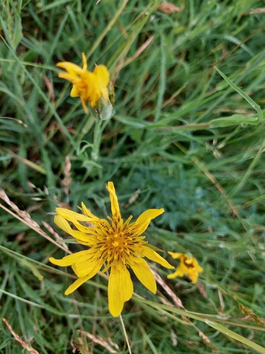
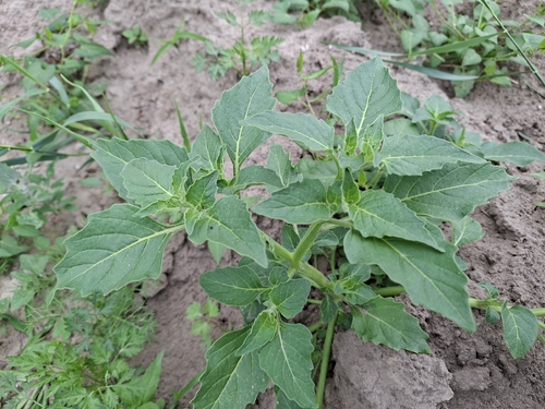
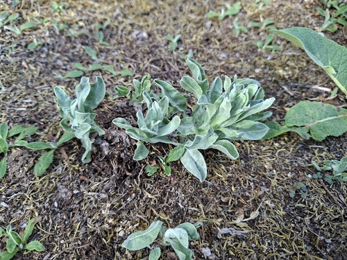
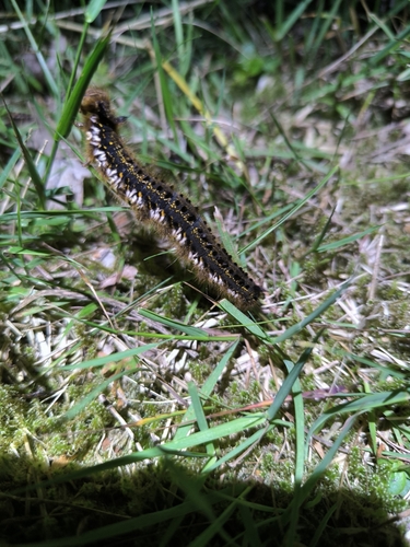
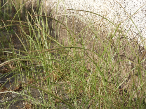
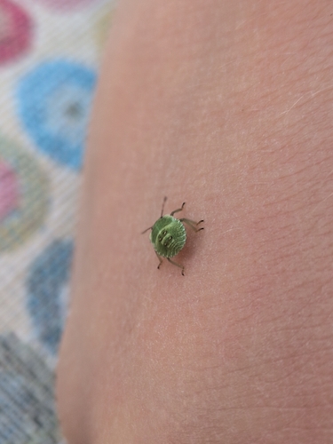
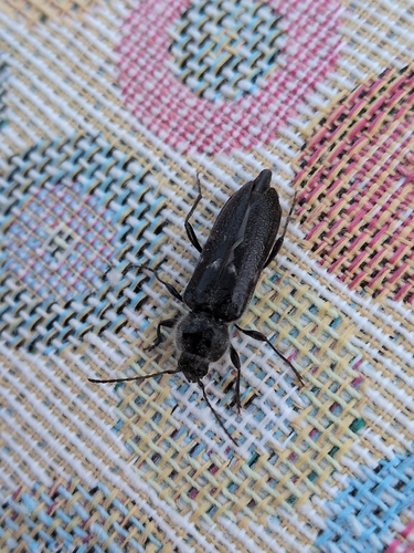
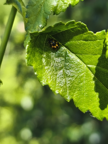
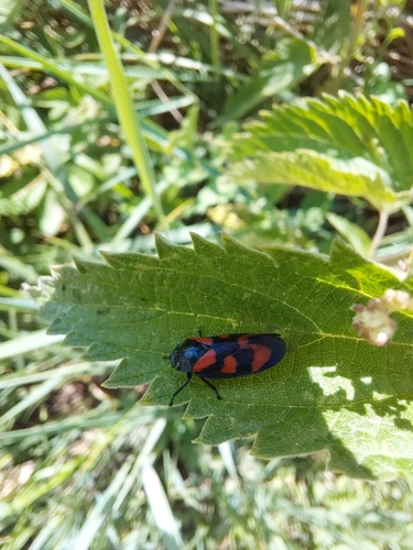
Research-grade observations from iNaturalist (within ~15 mi).
Events
Notable, recurring, and historical events associated with Hradec Králové, sourced from Wikidata.
Source: Wikidata (CC0).
Gallery
Geotagged photos within ~6 miles of Hradec Králové, from Wikimedia Commons contributors.


.jpg)
_01.JPG)
_03.JPG)
_02.JPG)
,_Velk%C3%A9_n%C3%A1m._32%2B.JPG)
,_%C5%A0pit%C3%A1lsk%C3%A1_150.JPG)
,_Velk%C3%A9_n%C3%A1m._159.JPG)
,_K%C5%99i%C5%BE%C3%ADkova_02.JPG)
,_K%C5%99i%C5%BE%C3%ADkova_01.JPG)
,_K%C5%99i%C5%BE%C3%ADkova_03.JPG)
,_roh_Mal%C3%A9_n%C3%A1m._a_Dlouh%C3%A9_ul._127-.JPG)
,_roh_Mal%C3%A9_n%C3%A1m._a_Dlouh%C3%A9_ul._127%2B.JPG)
,_roh_Mal%C3%A9_n%C3%A1m._a_Dlouh%C3%A9_ul._127.JPG)
,_Hradec_Kr%C3%A1lov%C3%A9_529.JPG)


Photos via Wikimedia Commons — see each image page for license & attribution.
Official Identifiers
ČSÚ — Czech Statistical Office
- RÚIAN code
- CZ569810
- Population (Wikidata)
- 94,311
- Wikidata
- Q180139
RÚIAN obec ID via Wikidata P782
Sources
- • Wikipedia
- • Wikimedia Commons
- • Wikidata
- • USGS Earthquake Catalog (global feed)
- • GBIF (Global Biodiversity Information Facility)
- • iNaturalist
- • Open-Meteo / sunrise-sunset.org
- • Wikipedia Pageviews API
- • Open Library
- • Wikidata SPARQL (CC0) — population, area, elevation, inception, head of government, Commons image
- • ČSÚ — Czech Statistical Office — RÚIAN obec ID via Wikidata P782