Browse / Czechia / Liberec / Hrádek nad Nisou
Hrádek nad Nisou
Liberectown

Hrádek nad Nisou
Total population
6,146
Demographic figures from Czech Statistical Office. Overview below cites Wikipedia and may reference a different year.
City facts
Facts from Wikidata (CC0).
Overview
Hrádek nad Nisou is a town in Liberec District in the Liberec Region of the Czech Republic. It has about 8,000 inhabitants. The town is located on the Lusatian Neisse River near the state border, at the tripoint of the Czech Republic, Germany and Poland. The historic town centre is well preserved and is protected as an urban monument zone.
Read more on WikipediaHistory & geography
History
The first written mention of Hrádek nad Nisou is from 1287. During the Hussite Wars, in 1424, the town was burned down. In 1466, the former church was replaced by a Gothic one. In the second half of the 16th century, there was a great development of the estate. In the 19th century, Hrádek nad Nisou became industrialised. The railway was built in 1859. Engineering, chemical and textile factories were established. From the 19th century until 1972, lignite was mined in the vicinity of the town. The town had a German majority. The Czech school was founded in 1925. From 1938 to 1945 it was annexed by Nazi Germany and administered as part of the Reichsgau Sudetenland. The German population was expelled after World War II.
Geography
Hrádek nad Nisou is located about northwest of Liberec. It is located on the state border, at the tripoint of the Czech Republic, Germany and Poland. The municipal territory lies mostly in the Eastern Upper Lusatia, but on the south it also extends to the Lusatian Mountains and Ještěd–Kozákov Ridge. The highest point is the hill Popova skála at above sea level. The Lusatian Neisse River flows through the town.
Excerpted from the corresponding Wikipedia article (CC BY-SA).
Geography
Coordinates & boundaries from the US Census TIGER/Line shapefiles.
Climate
Air quality
Walkability
Amenities nearby
Wildlife & biodiversity
Earthquake history
Photos
Sights & places nearby
Notable people from here


People born within ~10 km, from Wikidata (CC0). Click any name for their Wikipedia article.
Nearby places in Liberec
- Oldřichov na Hranicích1.2 mi away · pop. 241
- Dolní Sedlo1.2 mi away · pop. 167
- Grabštejn1.4 mi away · pop. 127
- Chotyně1.6 mi away · pop. 709
- Dolní Suchá2.2 mi away · pop. 263
- Václavice2.8 mi away · pop. 399
- Polesí3.9 mi away · pop. 77
- Bílý Kostel nad Nisou4.1 mi away · pop. 742
- Petrovice4.5 mi away · pop. 154
- Rynoltice4.5 mi away · pop. 483
- Dolní Vítkov5.2 mi away · pop. 257
- Kněžice5.3 mi away · pop. 127
Geography & sun
Elevation, sunrise/sunset and daylight from Open-Meteo. Solar climatology from NASA POWER.
Nearby airports
Public attention
Pageview totals from the Wikimedia Pageviews API.
Books about this place
Recent natural events nearby
Ground air-quality sensors
Recently spotted species
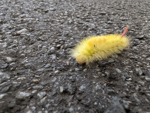
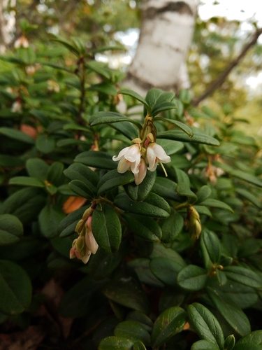
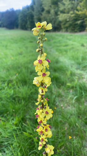
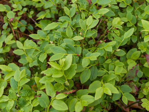
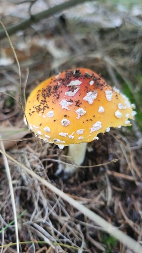
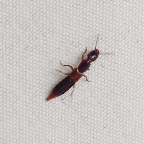
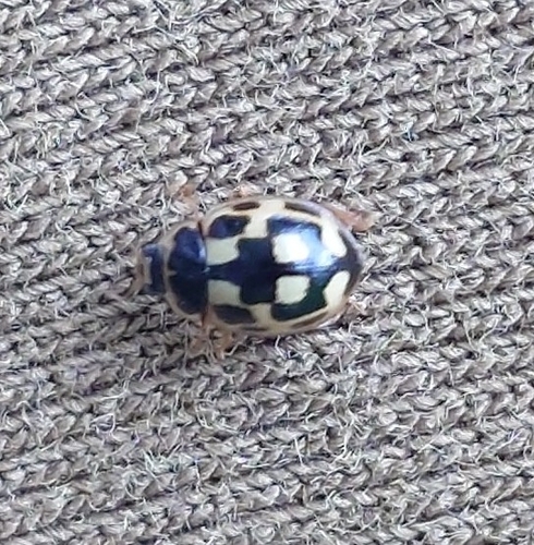
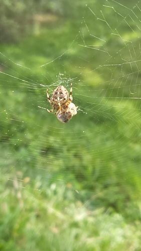
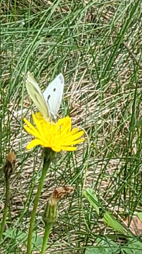
Research-grade observations from iNaturalist (within ~15 mi).
Events
Gallery
Official Identifiers
ČSÚ — Czech Statistical Office
- RÚIAN code
- CZ564095
- Population (Wikidata)
- 8,001
- Wikidata
- Q704033
RÚIAN obec ID via Wikidata P782
Sources
- • Wikipedia
- • Wikidata
- • iNaturalist
- • Open-Meteo / sunrise-sunset.org
- • Wikipedia Pageviews API
- • Wikidata SPARQL (CC0) — population, area, elevation, inception, head of government, Commons image
- • ČSÚ — Czech Statistical Office — RÚIAN obec ID via Wikidata P782