Browse / Czechia / Central Bohemian / Hudlice
Hudlice
Central Bohemianvillage

Hudlice
Total population
1,182
Demographic figures from Czech Statistical Office. Overview below cites Wikipedia and may reference a different year.
City facts
Facts from Wikidata (CC0).
Overview
Hudlice is a municipality and village in Beroun District in the Central Bohemian Region of the Czech Republic. It has about 1,300 inhabitants. It is known as the birthplace of Josef Jungmann, who is considered to be one of the creators of the modern Czech language.
Read more on WikipediaHistory & geography
History
Wenceslaus Hajek writes in his chronicle the village was gifted by Duke Jaromír to his servant Hovora. This story is considered as a romantical fabulation. The first written mention of Hudlice is from 1341. After Karlštejn Castle was founded in 1348, Hudlice was part of its estate. Later it transferred to the Křivoklát estate. From 1425 to 1437 there was a knight's court in Hudlice. The village changed its owners several times and its development was interrupted by the Hussite Wars and the Thirty Years' War. It was not until around 1656 that the village flourished with the development of the ironworks. Iron ore and vermilion were mined and gold was panned in the streams. In the past, many miners mining iron ore lived here, the main source of which was the nearby mountain of Krušná hora until the 1960s. Charcoal was produced in the surrounding forests, which was used for iron furnaces.
Excerpted from the corresponding Wikipedia article (CC BY-SA).
Geography
Coordinates & boundaries from the US Census TIGER/Line shapefiles.
Climate
Air quality
Walkability
Amenities nearby
Wildlife & biodiversity
Earthquake history
Photos
Sights & places nearby
Notable people from here


People born within ~10 km, from Wikidata (CC0). Click any name for their Wikipedia article.
Nearby places in Central Bohemian
- Otročiněves1.4 mi away · pop. 434
- Černín2.3 mi away · pop. 168
- Stradonice3.2 mi away · pop. 150
- Karlova Huť3.2 mi away · pop. 348
- Knížkovice3.6 mi away · pop. 135
- Tmaň4.7 mi away · pop. 755
- Žebrák6.7 mi away · pop. 2,248
- Všeradice8.5 mi away · pop. 415
- Skřipel9.3 mi away · pop. 117
- Malý Chlumec11.1 mi away · pop. 171
- Kuchař11.9 mi away · pop. 82
- Řevnice12.2 mi away · pop. 2,956
Geography & sun
Elevation, sunrise/sunset and daylight from Open-Meteo. Solar climatology from NASA POWER.
Nearby airports
Public attention
Pageview totals from the Wikimedia Pageviews API.
Books about this place
Recent natural events nearby
Ground air-quality sensors
Recently spotted species
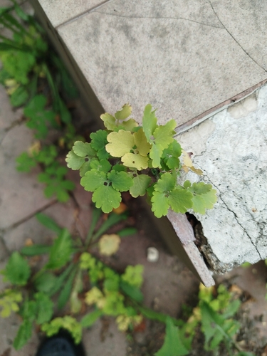
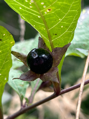
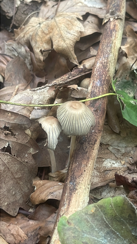
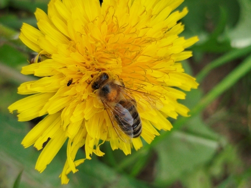
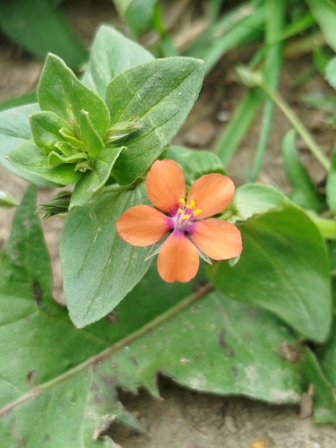
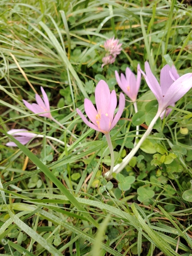
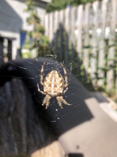
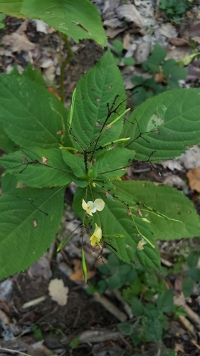
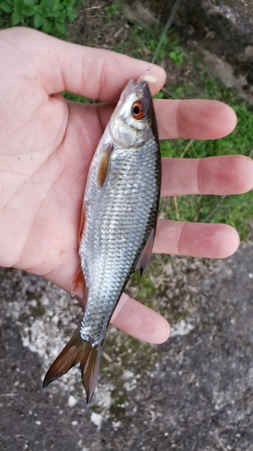
Research-grade observations from iNaturalist (within ~15 mi).
Events
Gallery
Official Identifiers
ČSÚ — Czech Statistical Office
- RÚIAN code
- CZ531227
- Population (Wikidata)
- 1,255
- Wikidata
- Q1906392
RÚIAN obec ID via Wikidata P782
Sources
- • Wikipedia
- • Wikidata
- • iNaturalist
- • Open-Meteo / sunrise-sunset.org
- • Wikipedia Pageviews API
- • Wikidata SPARQL (CC0) — population, area, elevation, inception, head of government, Commons image
- • ČSÚ — Czech Statistical Office — RÚIAN obec ID via Wikidata P782