Browse / Czechia / South Moravian / Ivanovice
Ivanovice
South Moravianvillage

Ivanovice
Total population
999
Demographic figures from Czech Statistical Office. Overview below cites Wikipedia and may reference a different year.
City facts
Overview
Brno-Ivanovice is a city district in the north part of the city of Brno, Czech Republic. It consists of the municipal part and cadastral territory of Ivanovice, originally an independent municipality that was annexed to Brno in 1971. The city district was established on 24 November 1990. Almost 2,000 people live here.
Read more on WikipediaHistory & geography
History
The first written mention of Ivanovice dates from 1358. It was always a small village, the size of which did not change until the 19th century. Ivanovice belonged to Řečkovice, it was first owned by the Augustinian Monastery in Brno, after its abolition in 1581 by the Jesuits in Brno. Finally, after 1773, Řečkovice acquired secular holders. The old imperial road connecting Brno with Svitavy ran east of Ivanovice, along which a new imperial road was built from 1752. Ivanovice recorded growth only in the 20th century, more significant growth has been occurring since the 1970s. Some lands in the south of modern Ivanovice were annexed to Brno a total of two times. Until the 1960s, these lands were part of Řečkovice, within which they were annexed to Brno as early as 16 April 1919. During the cadastral reform of Brno in 1966–1969, these lands were separated from Brno and annexed to the then municipality of Ivanovice u Brna, which was then annexed into Brno on 26 November 1971. Within Brno, Ivanovice was incorporated into the Brno VI-Řečkovice district, renamed on 1 May 1972, to Brno-Řečkovice. On 1 January 1976, based on the resolution dated 12 December 1975, Ivanovice acquired its current northern and western borders, when it acquired 4 hectares of land from Jinačovice, and 10 hectares from Česká, while at the same time 4.02 hectares of land passed from Ivanovice to Česká. From 21 September 1972 to 23 November 1990, Ivanovice was part of the Brno V municipal district, administered by Královo Pole. On 24 November 1990, the current city district of Brno-Ivanovice was established.
Geography
Ivanovice has an area of 2.45 km2. It has a village character. It is located on the northern edge of the city of Brno, at the eastern edge of the wooded hills of the Baba Nature Park. Brno-Ivanovice borders in the east with Brno-Jehnice, in the southeast with Brno-Řečkovice a Mokrá Hora, on the west with the municipality of Jinačovice, and on the north with Česká.
Excerpted from the corresponding Wikipedia article (CC BY-SA).
Geography
Coordinates & boundaries from the US Census TIGER/Line shapefiles.
Climate
Air quality
Walkability
Amenities nearby
Wildlife & biodiversity
Earthquake history
Photos
Sights & places nearby
Notable people from here
Nearby places in South Moravian
- Jehnice1.4 mi away · pop. 752
- Ořešín2.1 mi away · pop. 452
- Rozdrojovice2.6 mi away · pop. 570
- Podlesí2.9 mi away
- Útěchov3.5 mi away · pop. 446
- Moravské Knínice3.6 mi away · pop. 763
- Vranov3.8 mi away · pop. 595
- Adamov4.7 mi away · pop. 4,970
- Svinošice4.9 mi away · pop. 253
- Svatá Kateřina5 mi away · pop. 153
- Malhostovice5.7 mi away · pop. 681
- Řícmanice5.8 mi away · pop. 572
Geography & sun
Elevation, sunrise/sunset and daylight from Open-Meteo. Solar climatology from NASA POWER.
Nearby airports
Public attention
Pageview totals from the Wikimedia Pageviews API.
Books about this place
Recent natural events nearby
Ground air-quality sensors
Recently spotted species
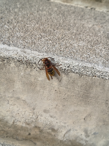
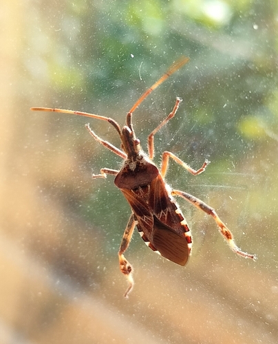

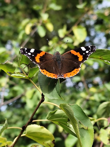
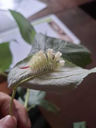
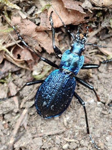
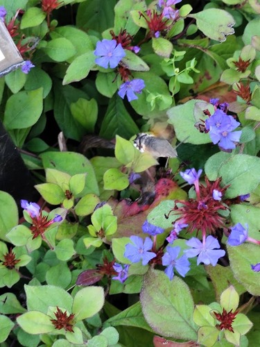
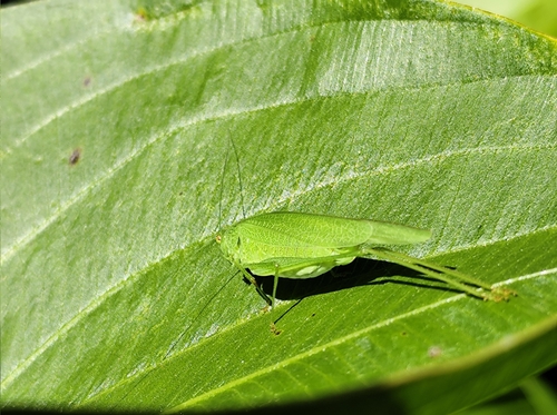
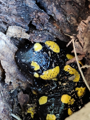
Research-grade observations from iNaturalist (within ~15 mi).
Events
Gallery
Sources
- • Wikipedia
- • iNaturalist
- • Open-Meteo / sunrise-sunset.org
- • Wikipedia Pageviews API