Browse / Czechia / Vysočina / Jemnice
Jemnice
Vysočinatown

Jemnice
Total population
4,034
Demographic figures from Czech Statistical Office. Overview below cites Wikipedia and may reference a different year.
City facts
Facts from Wikidata (CC0).
Overview
Jemnice is a town in Třebíč District in the Vysočina Region of the Czech Republic. It has about 4,000 inhabitants. The town proper is located on the Želetavka River in the Jevišovice Uplands.
Read more on WikipediaHistory & geography
History
The predecessor of Jemnice is Podolí, which was founded in the 11th century as a mining settlement. A new town on a high promontory above the river Želetavka was founded before 1226. The first written mention of Jemnice is in a deed of King Ottokar I of Bohemia from 1227. It was a royal town until 1530. Town fortifications were mentioned in 1327. Jemnice resisted during minor wars, however it was conquered and burned down by army of Matthias Corvinus in 1468. The mining in the vicinity of the town continued until the war times in the 15th century. After that, it was never successfully renewed and the main source of livelihood was agriculture and fish farming.
Geography
Jemnice is located about southwest of Třebíč and south of Jihlava. It lies mostly in the Jevišovice Uplands. The hilly forested part in the north of the municipal territory belongs to the Křižanov Highlands and includes the highest point of Jemnice, the hill Inženýrský kopec at above sea level. The Želetavka River flows through the town. There are several fishponds in the municipal territory.
Excerpted from the corresponding Wikipedia article (CC BY-SA).
Geography
Coordinates & boundaries from the US Census TIGER/Line shapefiles.
Climate
Air quality
Walkability
Amenities nearby
Wildlife & biodiversity
Earthquake history
Photos
Sights & places nearby
Notable people from here
Nearby places in Vysočina
- Budkov4.7 mi away · pop. 378
- Radkovice u Budče5 mi away · pop. 137
- Hornice5.3 mi away · pop. 80
- Dešov6.4 mi away · pop. 432
- Horky9.4 mi away · pop. 154
- Bítovánky10.3 mi away · pop. 181
- Častohostice11.3 mi away · pop. 179
- Římov13.4 mi away · pop. 402
- Částkovice14.5 mi away · pop. 63
- Štěpánovice16.1 mi away · pop. 94
- Čechočovice16.3 mi away · pop. 283
- Výčapy16.4 mi away · pop. 679
Geography & sun
Elevation, sunrise/sunset and daylight from Open-Meteo. Solar climatology from NASA POWER.
Nearby airports
Public attention
Pageview totals from the Wikimedia Pageviews API.
Books about this place
Recent natural events nearby
Ground air-quality sensors
Recently spotted species
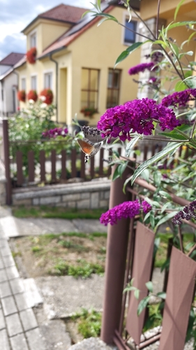
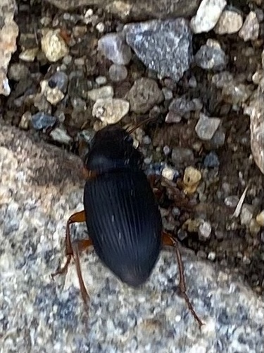
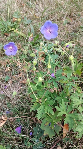
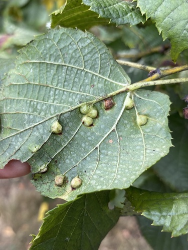
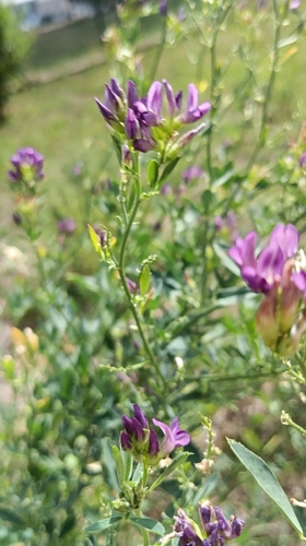
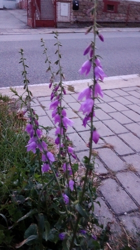
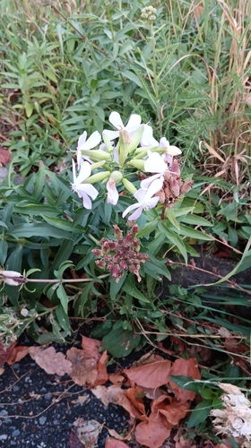
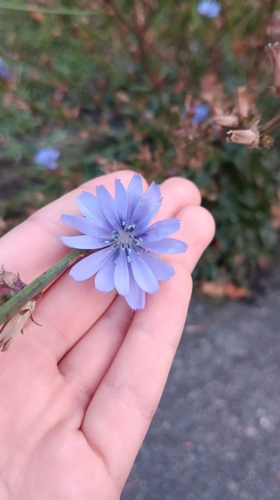
Research-grade observations from iNaturalist (within ~15 mi).
Events
Gallery
Official Identifiers
ČSÚ — Czech Statistical Office
- RÚIAN code
- CZ590789
- Population (Wikidata)
- 3,964
- Wikidata
- Q1670040
RÚIAN obec ID via Wikidata P782
Sources
- • Wikipedia
- • Wikidata
- • iNaturalist
- • Open-Meteo / sunrise-sunset.org
- • Wikipedia Pageviews API
- • Wikidata SPARQL (CC0) — population, area, elevation, inception, head of government, Commons image
- • ČSÚ — Czech Statistical Office — RÚIAN obec ID via Wikidata P782