Browse / Czechia / Vysočina / Jihlava
Jihlava
Vysočinacity

Jihlava
Total population
50,108
Founded
1233
Demographic figures from Czech Statistical Office. Overview below cites Wikipedia and may reference a different year.
City facts
Facts from Wikidata (CC0).
Overview
Jihlava is a city in the Czech Republic. It has about 54,000 inhabitants. Situated on the Jihlava River on the historical border between Moravia and Bohemia, Jihlava is the capital of the Vysočina Region.
Read more on WikipediaHistory & geography
History
Jihlava was originally a Slavic market village with a small Church of Saint John the Baptist, established on a trade route around 1200. The first written mention of Jihlava is from 1233. The mining of silver began here in 1234 and the royal mining town was established between 1233 and 1240. Jihlava thus became the oldest mining town in what is today the Czech Republic. The village was originally located on the left bank of the river Jihlava, but with the expansion of mining and the influx of inhabitants, the town spread to the right bank, where its historic centre was established. The regular plan of the rectangular network of streets with a large square in the middle was given by the building regulations of King Ottokar II from 1270. Royal privileges guaranteed prosperity and Jihlava soon became one of the most powerful cities in the kingdom. It was protected by a massive fortification and coins were minted here. It became the first city in Central Europe where mining law was codified. At the end of the 14th century, the importance of mining declined when the richest deposits were mined, and Jihlava instead became a centre of trade and crafts, especially cloth making. In 1523, a large fire severely damaged the city, which was subsequently restored in the Renaissance style. During the Thirty Years' War, Jihlava was twice captured by the Swedish troops. The suburbs were burned, most of the houses were demolished, and the city significantly depopulated. Jihlava recovered only after more than 100 years. The city was restored in the Baroque style and began to develop again. The relatively peaceful coexistence of the Czech and German-speaking inhabitants that lasted for hundreds of years ended with the nationalism caused by the Sudeten German Party of Konrad Henlein,…
Geography
Jihlava is located about southeast of Prague and northwest of Brno. The city is situated on the historical border between Moravia and Bohemia; most of the city lies in Moravia. Jihlava lies on the Jihlava River, at its confluence with the Jihlávka Stream. The municipal territory is rich in small fishponds. Jihlava is located in the heart of the Bohemian-Moravian Highlands. The northern part of the territory lies in the Upper Sázava Hills and the southern part lies in the Křižanov Highlands. The highest point is the hill Popický vrch with an elevation of , located on the southern municipal border.
Excerpted from the corresponding Wikipedia article (CC BY-SA).
Geography
Coordinates & boundaries from the US Census TIGER/Line shapefiles.
Climate
Air quality
Walkability
Amenities nearby
Wildlife & biodiversity
Earthquake history
Photos
Sights & places nearby
Notable people from here


People born within ~10 km, from Wikidata (CC0). Click any name for their Wikipedia article.
Nearby places in Vysočina
- Hruškové Dvory1.2 mi away · pop. 133
- Pístov1.5 mi away · pop. 126
- Helenín1.7 mi away
- Kosov2.1 mi away · pop. 85
- Henčov2.5 mi away · pop. 178
- Hosov2.5 mi away · pop. 126
- Nové Domky2.7 mi away
- Studénky2.9 mi away · pop. 151
- Vysoká3.1 mi away · pop. 43
- Zborná3.1 mi away · pop. 122
- Pávov3.5 mi away · pop. 322
- Cerekvička-Rosice4.2 mi away
Geography & sun
Elevation, sunrise/sunset and daylight from Open-Meteo. Solar climatology from NASA POWER.
Nearby airports
Public attention
Pageview totals from the Wikimedia Pageviews API.
Books about Jihlava
Search results from Open Library.
Recent natural events nearby
Ground air-quality sensors
Recently spotted species
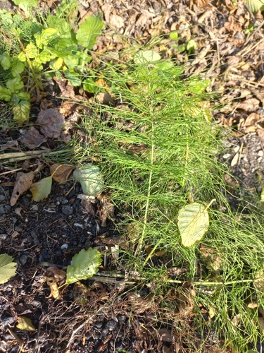
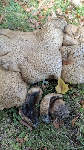
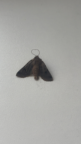
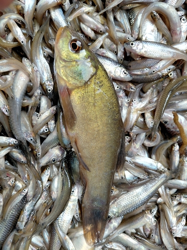
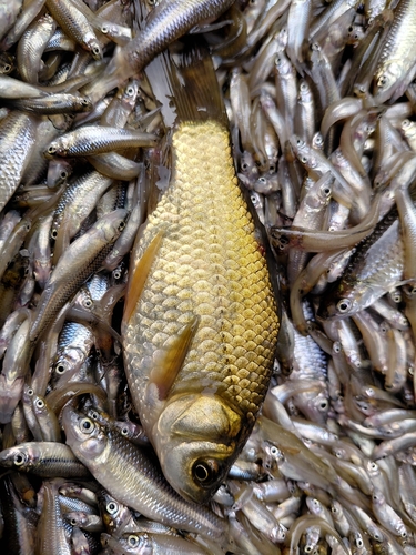
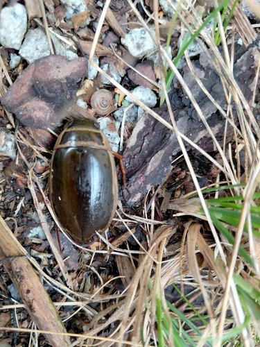
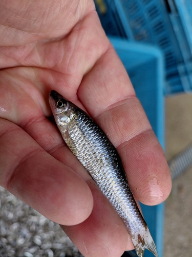
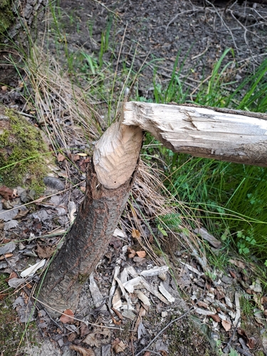
Research-grade observations from iNaturalist (within ~15 mi).
Events
Notable, recurring, and historical events associated with Jihlava, sourced from Wikidata.
- Jihlava International Documentary Film Festivalannual event
annual Czech festival of creative documentary films
Source: Wikidata (CC0).
Gallery
Official Identifiers
ČSÚ — Czech Statistical Office
- RÚIAN code
- CZ586846
- Population (Wikidata)
- 54,624
- Wikidata
- Q183111
RÚIAN obec ID via Wikidata P782
Sources
- • Wikipedia
- • Wikidata
- • iNaturalist
- • Open-Meteo / sunrise-sunset.org
- • Wikipedia Pageviews API
- • Open Library
- • Wikidata SPARQL (CC0) — population, area, elevation, inception, head of government, Commons image
- • ČSÚ — Czech Statistical Office — RÚIAN obec ID via Wikidata P782