Browse / Czechia / Central Bohemian / Jinočany
Jinočany
Central Bohemianvillage

Jinočany
Total population
792
Demographic figures from Czech Statistical Office. Overview below cites Wikipedia and may reference a different year.
City facts
Facts from Wikidata (CC0).
Overview
Jinočany is a municipality and village in Prague-West District in the Central Bohemian Region of the Czech Republic. It has about 2,400 inhabitants.
Read more on WikipediaHistory & geography
History
The first written mention of Jinočany is from 1406, when half of the village was owned by the Břevnov Monastery. During feudal times, the village was divided into two parts that had different owners. In 1845, iron ore began to be mined near Jinočany. At the end of the 19th century and the beginning of the 20th century, mining developed and caused the growth of the village and an influx of new residents. After World War I, mining was stopped due to the low iron content of the mined ore. In the years 1945–1964, mining was resumed, but it was unprofitable.
Geography
Jinočany is located about west of Prague. It lies in a flat agricultural landscape in the Prague Plateau. The highest point is at above sea level.
Excerpted from the corresponding Wikipedia article (CC BY-SA).
Geography
Coordinates & boundaries from the US Census TIGER/Line shapefiles.
Climate
Air quality
Walkability
Amenities nearby
Wildlife & biodiversity
Earthquake history
Photos
Sights & places nearby
Notable people from here


People born within ~10 km, from Wikidata (CC0). Click any name for their Wikipedia article.
Nearby places in Central Bohemian
- Kuchař3.8 mi away · pop. 82
- Solopisky5 mi away · pop. 148
- Řevnice8.3 mi away · pop. 2,956
- Noutonice9.2 mi away · pop. 93
- Brnky10.6 mi away · pop. 93
- Stradonice11.3 mi away · pop. 150
- Mníšek pod Brdy11.5 mi away · pop. 4,082
- Hatě11.5 mi away · pop. 143
- Stříbrná Lhota11.7 mi away
- Přemyšlení11.7 mi away · pop. 300
- Bojov11.8 mi away · pop. 206
- Zahořany12 mi away · pop. 92
Geography & sun
Nearby airports
Public attention
Books about this place
Recent natural events nearby
Ground air-quality sensors
Recently spotted species
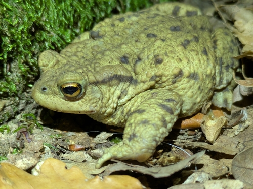
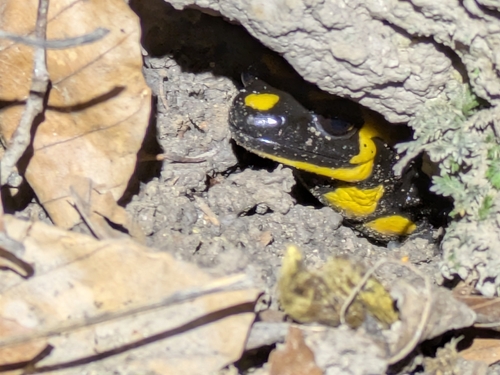
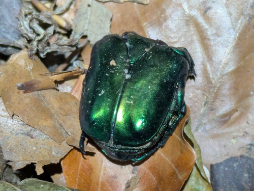
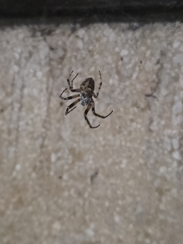
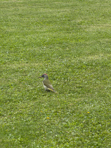
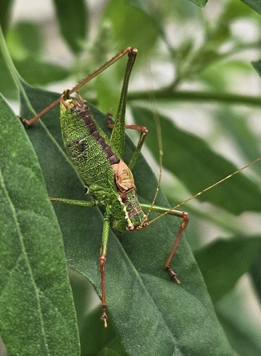
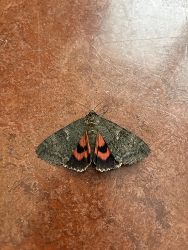
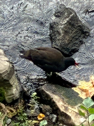
Research-grade observations from iNaturalist (within ~15 mi).
Events
Gallery
Official Identifiers
ČSÚ — Czech Statistical Office
- RÚIAN code
- CZ539350
- Population (Wikidata)
- 2,350
- Wikidata
- Q2053522
RÚIAN obec ID via Wikidata P782
Sources
- • Wikipedia
- • Wikidata
- • iNaturalist
- • ČSÚ — Czech Statistical Office — RÚIAN obec ID via Wikidata P782