Browse / Czechia / Ústí nad Labem / Jiříkov
Jiříkov
Ústí nad Labemtown

Jiříkov
Total population
3,473
Demographic figures from Czech Statistical Office. Overview below cites Wikipedia and may reference a different year.
City facts
Sister cities
Facts from Wikidata (CC0).
Overview
Jiříkov is a town in Děčín District in the Ústí nad Labem Region of the Czech Republic. It has about 3,500 inhabitants. It lies in the Lusatian Highlands, on the border with Germany.
Read more on WikipediaHistory & geography
History
The first written mention of Jiříkov is from 1346. In the 15th century, it belonged to the Šluknov estate. The village of Filipov was founded in 1681 by the then-owner of the estate, Philipp Sigmund of Dietrichstein, and named after him. Flax was grown in the vicinity of Jiříkov, which was further processed, but due to the wars, the linen craft began to flourish only from 1751. In 1753, the village was promoted to a market town by Empress Maria Theresa. The first textile factory was founded in 1807, and during the 19th century Jiříkov was industrialised. In 1873, the railway was opened. The population grew rapidly and in 1914 Jiříkov became a town. In the interwar period, disagreements between the Czech and German populations began, and in 1938 Jiříkov was annexed by Nazi Germany. After World War II, the German-speaking people were expelled and Jiříkov was repopulated by Czech settlers.
Geography
Jiříkov is located about northeast of Děčín and northwest of Liberec. It lies in the salient region of Šluknov Hook, on the border with Germany. The town is urbanistically fused with the neighbouring German town of Ebersbach-Neugersdorf. Jiříkov is situated in the Lusatian Highlands. The stream Jiříkovský potok flows through the town.
Excerpted from the corresponding Wikipedia article (CC BY-SA).
Geography
Coordinates & boundaries from the US Census TIGER/Line shapefiles.
Climate
Air quality
Walkability
Amenities nearby
Wildlife & biodiversity
Earthquake history
Photos
Sights & places nearby
Notable people from here

People born within ~10 km, from Wikidata (CC0). Click any name for their Wikipedia article.
Nearby places in Ústí nad Labem
- Bžany41.2 mi away · pop. 167
- Mrzlice47 mi away · pop. 52
- Paillote1150.9 mi away
- Haouch Gaby1153.1 mi away
- Douar Nessasseha دوار نساسحة1154.7 mi away
- Haouch Ben Said1155.2 mi away
- Haouch Ain Maiza1159.5 mi away
- Haouch Ben Kouider1160.4 mi away
- Sidi Rached1160.7 mi away · pop. 11,062
- Tipaza1161 mi away · pop. 25,225
- Douar Adel masskifa1161.8 mi away
- 5 Martyrs1162.9 mi away
Geography & sun
Elevation, sunrise/sunset and daylight from Open-Meteo. Solar climatology from NASA POWER.
Nearby airports
Public attention
Pageview totals from the Wikimedia Pageviews API.
Books about this place
Recent natural events nearby
Ground air-quality sensors
Recently spotted species
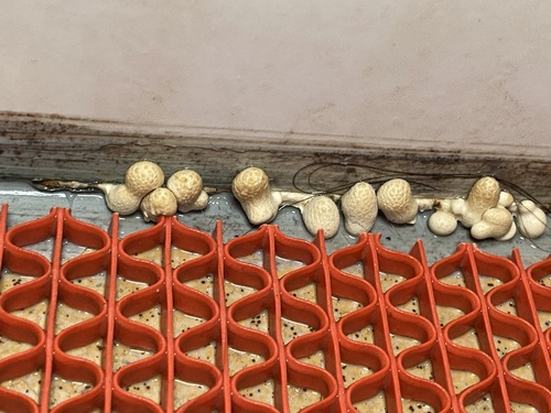
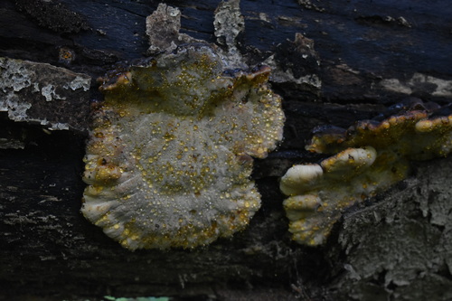
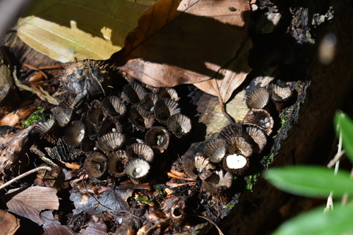
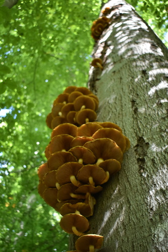
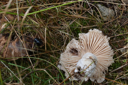
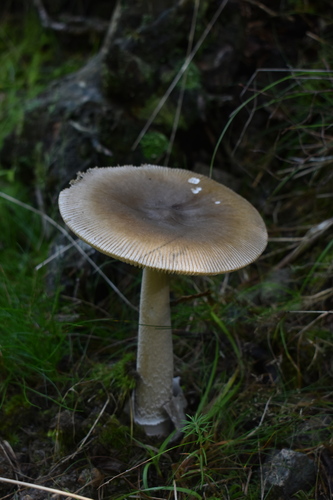
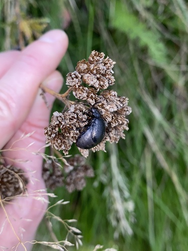
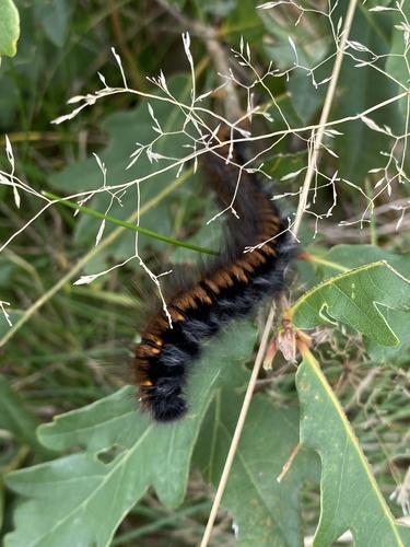
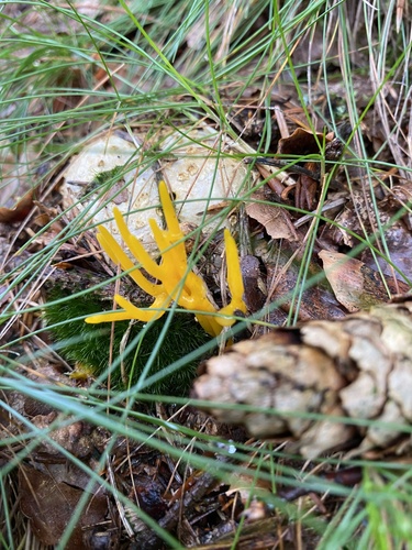
Research-grade observations from iNaturalist (within ~15 mi).
Events
Gallery
Sources
- • Wikipedia
- • Wikidata
- • iNaturalist
- • Open-Meteo / sunrise-sunset.org
- • Wikipedia Pageviews API
- • Wikidata SPARQL (CC0) — population, area, elevation, inception, head of government, Commons image