Browse / Czechia / South Bohemian / Kájov
Kájov
South Bohemianvillage

Kájov
Total population
777
Demographic figures from Czech Statistical Office. Overview below cites Wikipedia and may reference a different year.
City facts
Facts from Wikidata (CC0).
Overview
Kájov is a municipality and village in Český Krumlov District in the South Bohemian Region of the Czech Republic. It has about 2,000 inhabitants.
Read more on WikipediaHistory & geography
History
The first written mention of Kájov, Kladné and Křenov is from 1263, when King Ottokar II donated them to the newly established monastery in Zlatá Koruna. Other villages of the municipality were first documented between 1300 and 1470. Kájov was a property of the monastery until 1785, when the monastery was abolished. From 1785, it belonged to the Český Krumlov estate.
Geography
Kájov is located about west of Český Krumlov and southwest of České Budějovice. It lies in the Bohemian Forest Foothills. The highest point is near the top of the mountain Kleť at above sea level. The Polečnice Stream flows across the municipality. The village of Kájov is situated at its the confluence with the stream Chvalšinský potok. The northern part of the municipal territory lies within the Blanský les Protected Landscape Area.
Excerpted from the corresponding Wikipedia article (CC BY-SA).
Geography
Coordinates & boundaries from the US Census TIGER/Line shapefiles.
Climate
Air quality
Walkability
Amenities nearby
Wildlife & biodiversity
Earthquake history
Photos
Sights & places nearby
Notable people from here


People born within ~10 km, from Wikidata (CC0). Click any name for their Wikipedia article.
Nearby places in South Bohemian
- Novosedly0.9 mi away · pop. 92
- Staré Dobrkovice1.5 mi away · pop. 58
- Slavkov3.3 mi away · pop. 59
- Zahrádka4.9 mi away · pop. 24
- Polná na Šumavě5.1 mi away
- Rájov5.4 mi away · pop. 156
- Květušín5.9 mi away
- Třísov6.4 mi away · pop. 214
- Lhotka6.8 mi away · pop. 70
- Horní Třebonín7.5 mi away · pop. 29
- Nahořany7.6 mi away
- Březovík7.7 mi away · pop. 56
Geography & sun
Elevation, sunrise/sunset and daylight from Open-Meteo. Solar climatology from NASA POWER.
Nearby airports
Public attention
Pageview totals from the Wikimedia Pageviews API.
Books about this place
Recent natural events nearby
Ground air-quality sensors
Recently spotted species
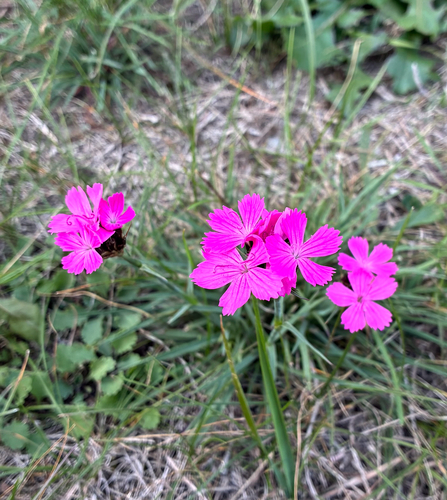
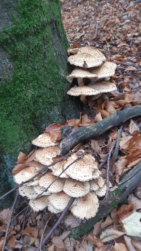
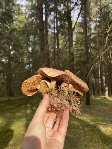
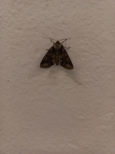
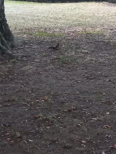
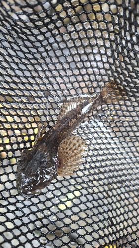
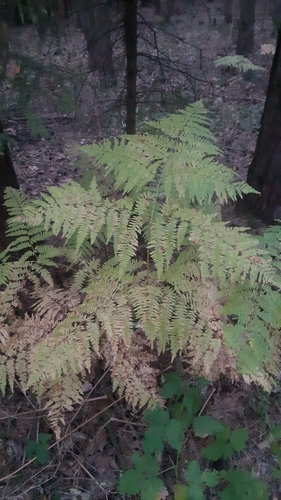
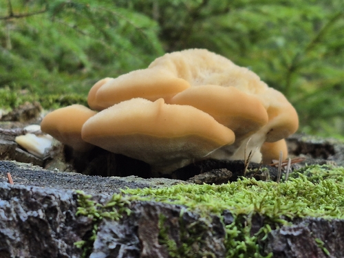
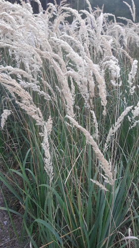
Research-grade observations from iNaturalist (within ~15 mi).
Events
Gallery
Official Identifiers
ČSÚ — Czech Statistical Office
- RÚIAN code
- CZ545554
- Population (Wikidata)
- 1,971
- Wikidata
- Q1795250
RÚIAN obec ID via Wikidata P782
Sources
- • Wikipedia
- • Wikidata
- • iNaturalist
- • Open-Meteo / sunrise-sunset.org
- • Wikipedia Pageviews API
- • ČSÚ — Czech Statistical Office — RÚIAN obec ID via Wikidata P782