Browse / Czechia / Olomouc / Konice
Konice
Olomouctown

Konice
Total population
2,277
Demographic figures from Czech Statistical Office. Overview below cites Wikipedia and may reference a different year.
City facts
Facts from Wikidata (CC0).
Overview
Konice is a town in Prostějov District in the Olomouc Region of the Czech Republic. It has about 2,600 inhabitants.
Read more on WikipediaHistory & geography
History
The first written mention of Konice is from 1200. It was probably the site of a fortress, which protected a trade route from Moravia to Bohemia. After the settlement was founded, the fortress became a manor house. After Konice changed hands several times, it became a property of the Lords of Švábenice, who held it from 1434 to 1655. After several property disputes, it was bought by the Hradisko Monastery in 1699. The monastery was abolished in 1784 and its propertives were managed by the state. Konice was bought by the entrepreneur Karel Příza in 1825. He reconstructed the local castle and moved there in 1830. His family owned the estate until 1945. In 1970, Konice was promoted to a town.
Geography
Konice is located about northwest of Prostějov and west of Olomouc. It lies on the border between the Drahany Highlands and Zábřeh Highlands. The highest point is the hill Runářovský vrch at above sea level. The Romže River flows through the town.
Excerpted from the corresponding Wikipedia article (CC BY-SA).
Geography
Coordinates & boundaries from the US Census TIGER/Line shapefiles.
Climate
Air quality
Walkability
Amenities nearby
Wildlife & biodiversity
Earthquake history
Photos
Sights & places nearby
Notable people from here


People born within ~10 km, from Wikidata (CC0). Click any name for their Wikipedia article.
Geography & sun
Elevation, sunrise/sunset and daylight from Open-Meteo. Solar climatology from NASA POWER.
Nearby airports
Public attention
Pageview totals from the Wikimedia Pageviews API.
Books about this place
Recent natural events nearby
Ground air-quality sensors
Recently spotted species
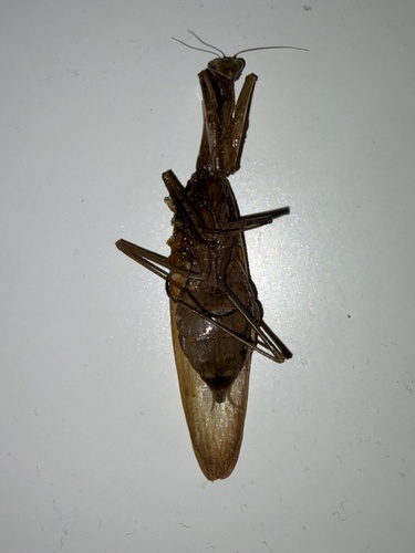
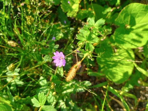
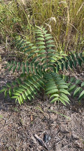
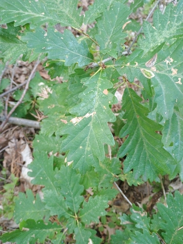
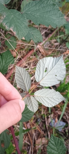
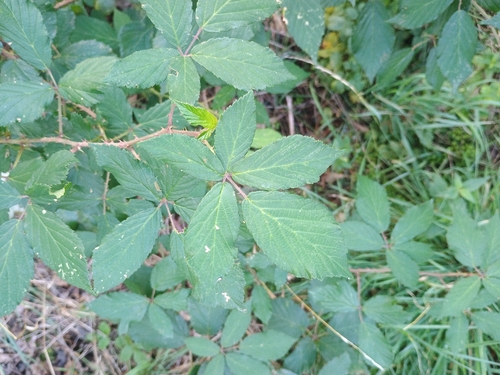
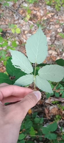
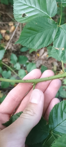
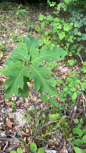
Research-grade observations from iNaturalist (within ~15 mi).
Events
Gallery
Official Identifiers
ČSÚ — Czech Statistical Office
- RÚIAN code
- CZ589624
- Population (Wikidata)
- 2,664
- Wikidata
- Q1781657
RÚIAN obec ID via Wikidata P782
Sources
- • Wikipedia
- • Wikidata
- • iNaturalist
- • Open-Meteo / sunrise-sunset.org
- • Wikipedia Pageviews API
- • Wikidata SPARQL (CC0) — population, area, elevation, inception, head of government, Commons image
- • ČSÚ — Czech Statistical Office — RÚIAN obec ID via Wikidata P782