Browse / Czechia / Hradec Králové / Kratonohy
Kratonohy
Hradec Královévillage

Kratonohy
Total population
507
Demographic figures from Czech Statistical Office. Overview below cites Wikipedia and may reference a different year.
City facts
Facts from Wikidata (CC0).
Overview
Kratonohy is a municipality and village in Hradec Králové District in the Hradec Králové Region of the Czech Republic. It has about 600 inhabitants.
Read more on WikipediaHistory & geography
History
The first written mention of Kratonohy is from 1316, the village of Michnovka was first mentioned in 1720. In the 14th century, a fortress probably existed here, but the oldest written record about the citadel comes from the 16th century. In the second half of the 14th century, owners of the village were the lords of Častolovice, Licek of Kratonohy and Perchta, daughter of Sezema of Kostomlaty. Perchta made a donation of some estates to St. George's Convent in Prague. From 1407 to 1467, Kratonohy was owned by Hroch of Dobřenice and brothers Jiří and Adam Dobřenský. In 1623, Kratonohy was bought by Alžběta Vchynská of Vchynice na Chlumci. The homestead had been held by the Kinsky family to 1644, but due to mortgages, they sold it to Asterles of Asterfeld. During the 18th century, the Kratonohy estate was merged with Chlumec estate.
Geography
Kratonohy is located about west of Hradec Králové. It lies in a flat agricultural landscape in the East Elbe Table. The highest point is the hill Medenec at above sea level.
Excerpted from the corresponding Wikipedia article (CC BY-SA).
Geography
Coordinates & boundaries from the US Census TIGER/Line shapefiles.
Climate
Air quality
Walkability
Amenities nearby
Wildlife & biodiversity
Most-observed species
- MallardAnas platyrhynchos Linnaeus, 1758 · Aves1,351
- Gray/Purple HeronArdea cinerea Linnaeus, 1758 · Aves1,133
- Great TitParus major Linnaeus, 1758 · Aves1,078
- Mute SwanCygnus olor (J.F.Gmelin, 1789) · Aves1,033
- Graylag GooseAnser anser (Linnaeus, 1758) · Aves956
- Common BuzzardButeo buteo (Linnaeus, 1758) · Aves882
- Eurasian Blue TitCyanistes caeruleus (Linnaeus, 1758) · Aves876
- Eurasian CootFulica atra Linnaeus, 1758 · Aves833
Citizen-science & research observations from the Global Biodiversity Information Facility (GBIF).
Earthquake history
Most recent
- M 3 — 2006-03-211 km NNW of Bystré, Czechia
- M 3.4 — 2005-10-250 km N of ?ervený Kostelec, Czechia
- M 2.9 — 2005-08-102 km WSW of ?ervený Kostelec, Czechia
- M 2.8 — 2005-04-072 km SE of ?wierzawa, Poland
- M 2.7 — 2004-08-133 km SSW of Karpacz, Poland
- M 2.5 — 2004-06-036 km WNW of Janowice Wielkie, Poland
Events from the USGS Earthquake Catalog (global) (FDSN Event Web Service).
Photos
Sights & places nearby
Notable people from here


People born within ~10 km, from Wikidata (CC0). Click any name for their Wikipedia article.
Nearby places in Hradec Králové
- Boharyně2.6 mi away · pop. 186
- Králíky7 mi away · pop. 227
- Jivany27.4 mi away · pop. 88
- Královec38.6 mi away · pop. 176
- Piancaldoli455.5 mi away · pop. 143
- Istia-Sigliola-Greta463.9 mi away · pop. 93
- Traversa465.2 mi away · pop. 160
- Luco Mugello469.8 mi away · pop. 1,114
- Pavana470.4 mi away · pop. 414
- Sasseta470.8 mi away · pop. 275
- Galliano470.9 mi away · pop. 1,122
- Cavarzano471.8 mi away · pop. 226
Geography & sun
Elevation, sunrise/sunset and daylight from Open-Meteo. Solar climatology from NASA POWER.
Nearby airports
Public attention
Pageview totals from the Wikimedia Pageviews API.
Books about this place
Recent natural events nearby
Ground air-quality sensors
Recently spotted species
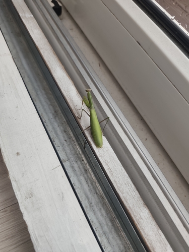
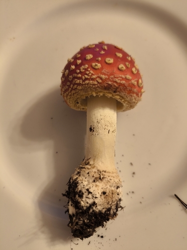
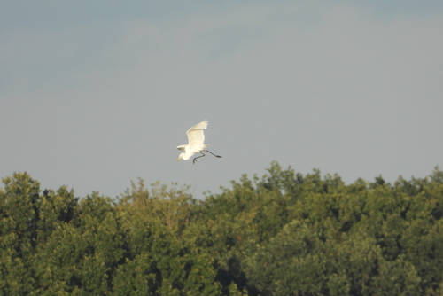
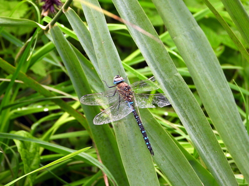
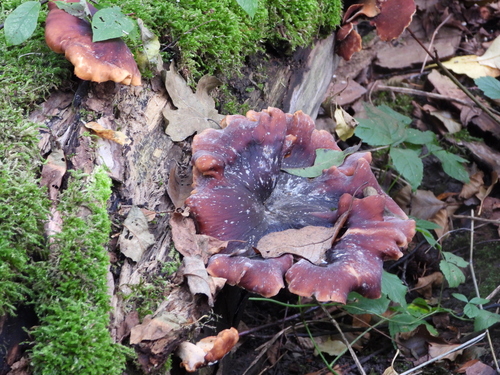
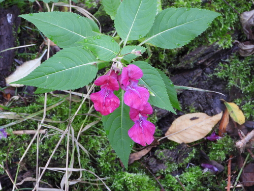
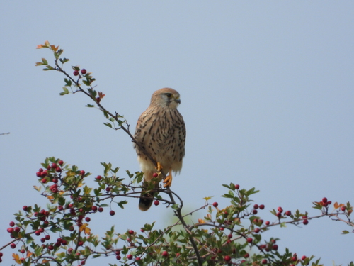
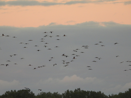
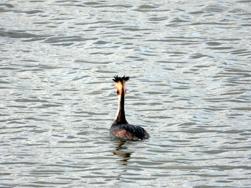
Research-grade observations from iNaturalist (within ~15 mi).
Events
Gallery
Official Identifiers
ČSÚ — Czech Statistical Office
- RÚIAN code
- CZ570206
- Population (Wikidata)
- 620
- Wikidata
- Q2537923
RÚIAN obec ID via Wikidata P782
Sources
- • Wikipedia
- • Wikidata
- • USGS Earthquake Catalog (global feed)
- • GBIF (Global Biodiversity Information Facility)
- • iNaturalist
- • Open-Meteo / sunrise-sunset.org
- • Wikipedia Pageviews API
- • ČSÚ — Czech Statistical Office — RÚIAN obec ID via Wikidata P782