Browse / Czechia / Liberec / Křižany
Křižany
Liberecvillage

Křižany
Total population
415
Demographic figures from Czech Statistical Office. Overview below cites Wikipedia and may reference a different year.
City facts
Facts from Wikidata (CC0).
Overview
Křižany is a municipality and village in Liberec District in the Liberec Region of the Czech Republic. It has about 900 inhabitants.
Read more on WikipediaHistory & geography
History
The first written mention of Křižany is from 1352. Until 1684, a fortress stood in the village.
Geography
Křižany is located about west of Liberec. In lies mostly in the Ralsko Uplands, only the eastern part of the municipal territory extends into the Ještěd–Kozákov Ridge. The highest point is the hill Malý Ještěd at above sea level. The built-up area is situated in the valley of the stream Ještědský potok.
Excerpted from the corresponding Wikipedia article (CC BY-SA).
Geography
Coordinates & boundaries from the US Census TIGER/Line shapefiles.
Climate
Air quality
Walkability
Amenities nearby
Wildlife & biodiversity
Earthquake history
Photos
Sights & places nearby
Notable people from here


People born within ~10 km, from Wikidata (CC0). Click any name for their Wikipedia article.
Nearby places in Liberec
- Druzcov1.6 mi away · pop. 76
- Žibřidice1.6 mi away · pop. 237
- Zdislava2.1 mi away · pop. 245
- Břevniště2.5 mi away · pop. 181
- Janův Důl2.9 mi away · pop. 137
- Hoření Paseky3.1 mi away · pop. 53
- Dolení Paseky3.4 mi away · pop. 106
- Hodky3.5 mi away · pop. 124
- Rozstání3.7 mi away · pop. 331
- Světlá pod Ještědem4.1 mi away · pop. 97
- Jítrava4.2 mi away · pop. 137
- Andělská Hora4.9 mi away · pop. 267
Geography & sun
Nearby airports
Public attention
Books about this place
Recent natural events nearby
Ground air-quality sensors
Recently spotted species
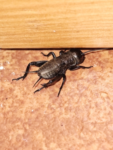
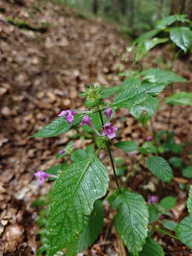
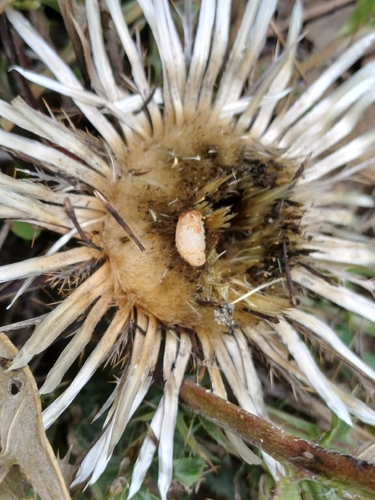
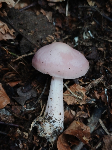
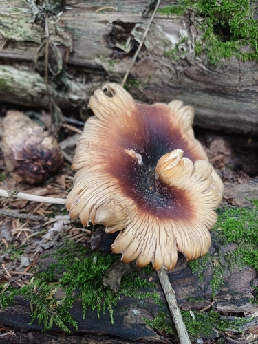
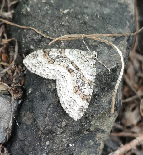
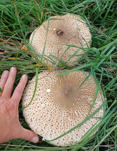
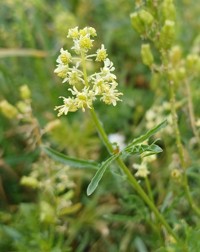
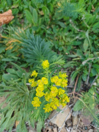
Research-grade observations from iNaturalist (within ~15 mi).
Events
Gallery
Official Identifiers
ČSÚ — Czech Statistical Office
- RÚIAN code
- CZ564184
- Population (Wikidata)
- 843
- Wikidata
- Q1797677
RÚIAN obec ID via Wikidata P782
Sources
- • Wikipedia
- • Wikidata
- • iNaturalist
- • ČSÚ — Czech Statistical Office — RÚIAN obec ID via Wikidata P782